MyTopo
Ickesburg Pennsylvania US Topo Map
Couldn't load pickup availability
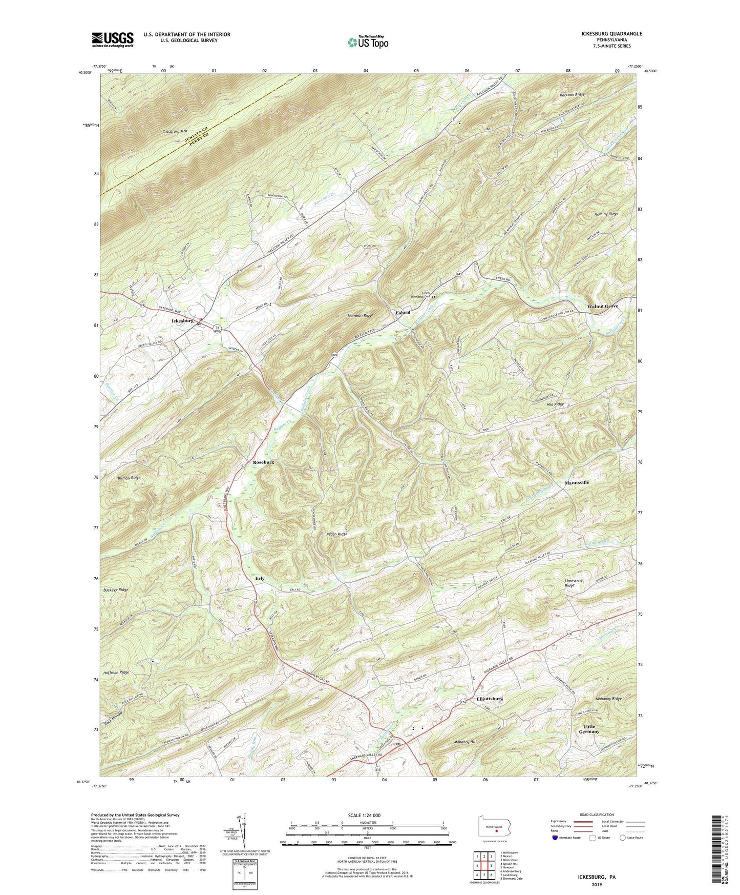
2019 topographic map quadrangle Ickesburg in the state of Pennsylvania. Scale: 1:24000. Based on the newly updated USGS 7.5' US Topo map series, this map is in the following counties: Perry, Juniata. The map contains contour data, water features, and other items you are used to seeing on USGS maps, but also has updated roads and other features. This is the next generation of topographic maps. Printed on high-quality waterproof paper with UV fade-resistant inks.
Quads adjacent to this one:
West: Spruce Hill
Northwest: Mifflintown
North: Mexico
Northeast: Millerstown
East: Newport
Southeast: Shermans Dale
South: Landisburg
Southwest: Andersonburg
Contains the following named places: Bilman Ridge, Dunn, Elliotsburg Post Office, Elliottsburg, Erly, Eshcol, Eshcol Memorial Cemetery, Green Park, Ickesburg, Ickesburg Ambulance Association Station 39, Ickesburg Fire Company Station 3, Ickesburg High School, Ickesburg Post Office, Limestone Ridge, Little Germany, Mahanoy Hill, Mannsville, Mannsville School, Markel School, Mount Pleasant School, Mount Vernon Church, Mount Zion Church, Panther Creek, Peach Ridge, Perry County, Red School, Ridge School, Roseburg, School Number 4, Sherman Ridge, Texen School, Thomas Field Airport, Township of Saville, Tuscarora Wild Area, Waller Airport, Walnut Grove, Wesley Chapel, ZIP Code: 17024