MyTopo
Mifflintown Pennsylvania US Topo Map
Couldn't load pickup availability
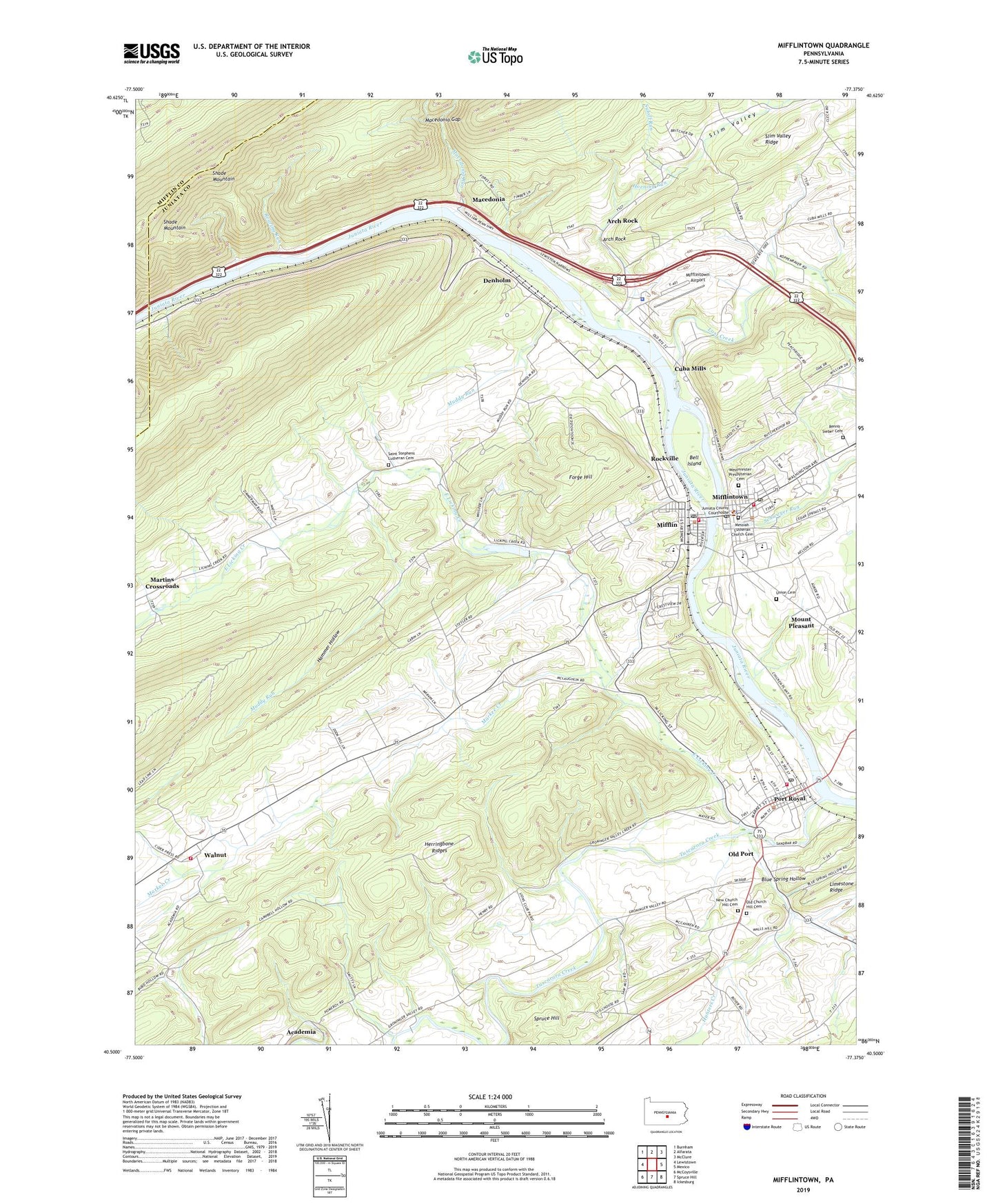
2023 topographic map quadrangle Mifflintown in the state of Pennsylvania. Scale: 1:24000. Based on the newly updated USGS 7.5' US Topo map series, this map is in the following counties: Juniata, Mifflin. The map contains contour data, water features, and other items you are used to seeing on USGS maps, but also has updated roads and other features. This is the next generation of topographic maps. Printed on high-quality waterproof paper with UV fade-resistant inks.
Quads adjacent to this one:
West: Lewistown
Northwest: Burnham
North: Alfarata
Northeast: McClure
East: Mexico
Southeast: Ickesburg
South: Spruce Hill
Southwest: McCoysville
This map covers the same area as the classic USGS quad with code o40077e4.
Contains the following named places: Arch Rock, Arch Rock School, Beale Township Fire Department Company Station 5, Bell Island, Blue Spring Hollow, Borough of Mifflin, Borough of Mifflintown, Borough of Port Royal, Central Juniata Emergency Medical Services Station 20, Church Hill School, Cuba Mills, Denholm, East Licking Creek, Forge Hill, Friendship Fire Company Station 1, Hammer Hollow, Hawstone, Hawstone Overlook, Horning Run, Hunters Creek, Jackson School, Juniata County, Juniata County Sheriff's Office, Juniata County Wildland Firefighters, Locust Grove School, Lost Creek, Macedonia, Macedonia Gap, Macedonia Run, Maple Grove School, Markee Creek, Markee School, Martins Crossroads, Messiah Lutheran Church Cemetery, Mifflin, Mifflin Fire Department Station 3, Mifflin Post Office, Mifflintown, Mifflintown Airport, Mifflintown Carrier Annex Post Office, Mifflintown Hose Company Number 1 Station 2, Mifflintown Post Office, Mount Pleasant, Mountain View School, Muddy Run, Muddy Run School, New Church Hill Cemetery, Old Church Hill Cemetery, Old Port, Old Port School, Pennsylvania State Police Troop G Lewistown Station, Port Royal, Port Royal Emergency Medical Services Station 1, Port Royal Post Office, Red Bank School, Renno - Sieber Cemetery, Reno School, Roaring Run, Rockville, Saint Judes Church, Saint Stephens Church, Saint Stephens Lutheran Cemetery, Schweyer Run, Shade Mountain, Slim Valley, Spigelmyer Run, Spruce Hill, Suloff Run, Township of Fermanagh, Township of Milford, Township of Turbett, Tuscarora Creek, Tuscarora Valley School, Union Cemetery, Walnut, Westminster Presbyterian Cemetery, Whitehall School, Zooks Dam, ZIP Code: 17059