MyTopo
Shermans Dale Pennsylvania US Topo Map
Couldn't load pickup availability
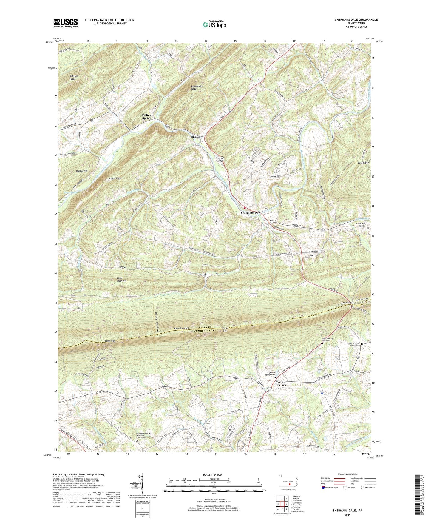
2023 topographic map quadrangle Shermans Dale in the state of Pennsylvania. Scale: 1:24000. Based on the newly updated USGS 7.5' US Topo map series, this map is in the following counties: Perry, Cumberland. The map contains contour data, water features, and other items you are used to seeing on USGS maps, but also has updated roads and other features. This is the next generation of topographic maps. Printed on high-quality waterproof paper with UV fade-resistant inks.
Quads adjacent to this one:
West: Landisburg
Northwest: Ickesburg
North: Newport
Northeast: Duncannon
East: Wertzville
Southeast: Mechanicsburg
South: Carlisle
Southwest: Plainfield
This map covers the same area as the classic USGS quad with code o40077c2.
Contains the following named places: Airy View School, Barn Hills School, Bible Brethren Church Cemetery, Carlisle Springs, Carlisle Springs Cemetery, Carlisle Squadron 305 Civil Air Patrol Airport, Carson Long Camp, Cranes Gap, Crums Corners, Dromgold, Evergreen School, Falling Spring, Fishing Run, Franklin Hall School, Hamilton School, Lackeys School, Longs Gap, Middlesex Elementary School, Middlesex Police Department, Miller Meeting House Cemetery, Millers Church, Milligan Ridge, Mount Gilead Church, Mountainview Horse Farm, Perry Furnace Run, Pine Grove School, Pisgah Church, Pisgah Ridge, Pisgah Run, Pleasant Hall School, Rattlesnake Ridge, Rocky Hollow, Saint Mathews Church, Sandy Hollow Church, Sandy Hollow School, Shermans Dale, Shermans Dale Ambulance Association Station 129, Shermans Dale Community Fire Company Station 12, Shermans Dale Post Office, Shermans Dale School, State Game Lands Number 230, Sterretts Gap, The Narrows School, Township of Carroll, Township of Middlesex, Union School, Waggoner Church, Waggoners United Methodist Church Cemetery, Warm Springs, Wolf Church, Wolf School, Yost Airport, Youngs Church, ZIP Code: 17090


