
MyTopo
James City Pennsylvania US Topo Map
Couldn't load pickup availability
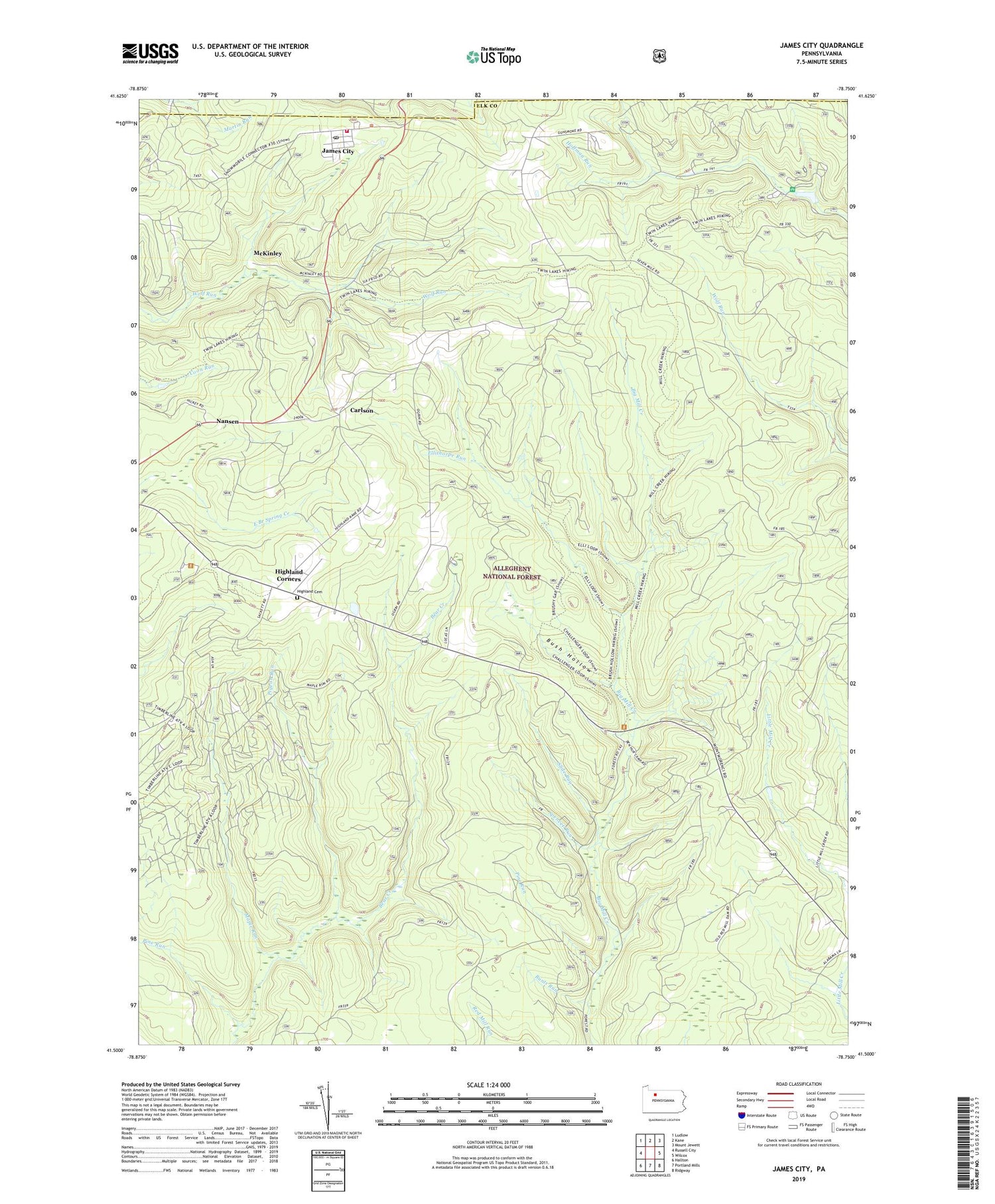
2019 topographic map quadrangle James City in the state of Pennsylvania. Scale: 1:24000. Based on the newly updated USGS 7.5' US Topo map series, this map is in the following counties: Elk, McKean. The map contains contour data, water features, and other items you are used to seeing on USGS maps, but also has updated roads and other features. This is the next generation of topographic maps. Printed on high-quality waterproof paper with UV fade-resistant inks.
Quads adjacent to this one:
West: Russell City
Northwest: Ludlow
North: Kane
Northeast: Mount Jewett
East: Wilcox
Southeast: Ridgway
South: Portland Mills
Southwest: Hallton
Contains the following named places: Ben Hur Camp, Black Cherry Interpretive Trail, Bunts Run, Bush Hollow, Carlson, CCC Camp, Cherry Run, Durant City Junction, Ellithorpe Run, Hanley, Hanley Fire Tower, Highland Cemetery, Highland Corners, Highland Township Volunteer Fire Department Company 8, James City, James City Census Designated Place, James City Post Office, Kane Experimental Forest, Kane Experimental Forest Headquarters, La Mont, Lamont, Maple Run, McKinley, Mill Creek Loop Hiking Trail, Nansen, Pigeon Run, Pine Run, Silver Creek Camp, Slide Run, Spencer Run, Twin Lakes Recreation Area, ZIP Code: 16734


