MyTopo
Kane Pennsylvania US Topo Map
Couldn't load pickup availability
Also explore the Kane Forest Service Topo of this same quad for updated USFS data
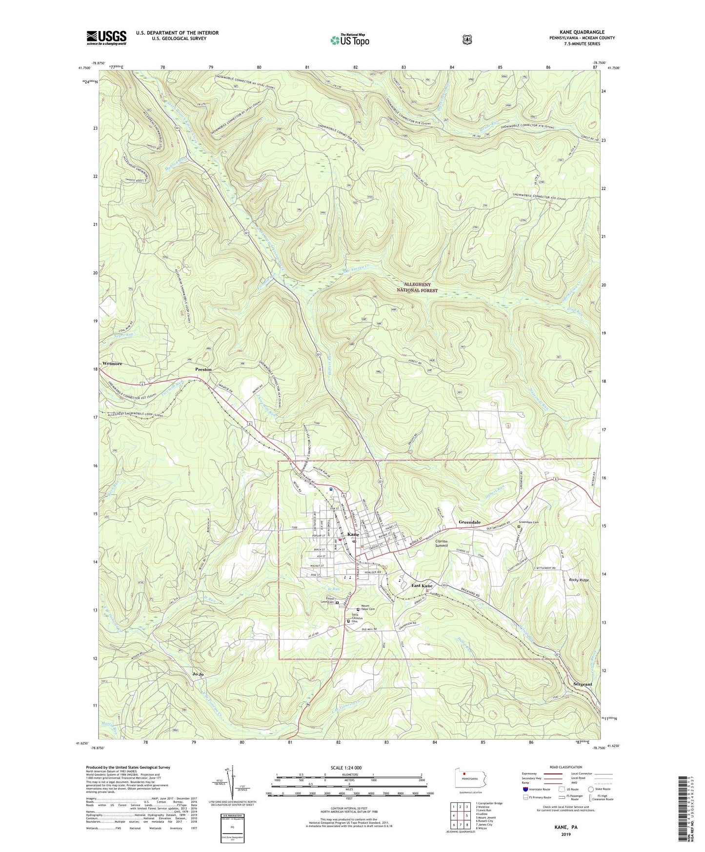
2023 topographic map quadrangle Kane in the state of Pennsylvania. Scale: 1:24000. Based on the newly updated USGS 7.5' US Topo map series, this map is in the following counties: McKean. The map contains contour data, water features, and other items you are used to seeing on USGS maps, but also has updated roads and other features. This is the next generation of topographic maps. Printed on high-quality waterproof paper with UV fade-resistant inks.
Quads adjacent to this one:
West: Ludlow
Northwest: Cornplanter Bridge
North: Westline
Northeast: Lewis Run
East: Mount Jewett
Southeast: Wilcox
South: James City
Southwest: Russell City
This map covers the same area as the classic USGS quad with code o41078f7.
Contains the following named places: Blacksnake Run, Borough of Kane, Castle Brook, CCC Camp, Central School, Chestnut Street Elementary School, Clarion Summit, Clay Street School, Crystal Mineral Springs, Dump Run, East Kane, Erickson School, Evergreen Park, Fivemile Run, Forest Lawn Cemetery, Free Methodist Church Camp, Glad Run, Glenwood Park, Greendale, Greendale Cemetery, Greendale School, Hubert Run, Jo Jo, Kane, Kane Area High School, Kane Area Middle School, Kane Community Hospital, Kane Post Office, Kane Volunteer Fire Department Station 5, Mead Trail Bike Trail, Mount Tabor Cemetery, Mountain Grange, Mudlick Run, Northwestern School, Preston, Rocky Ridge, Saint Callistus Cemetery, Saint Callistus School, Sergeant, Southover Park, Threemile Run, Township of Wetmore, Watermill Run, West Run, West Side School, WKZA-AM (Kane), WRXZ-FM (Kane), ZIP Code: 16735


