MyTopo
Mount Union Pennsylvania US Topo Map
Couldn't load pickup availability
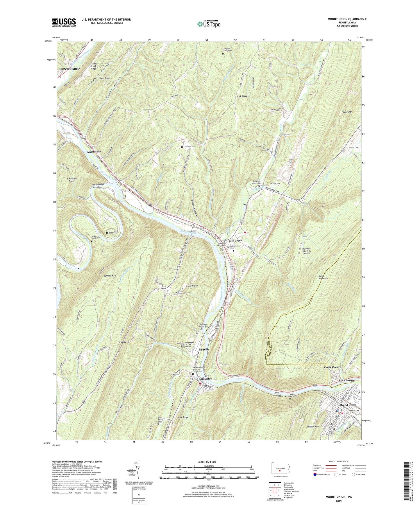
2019 topographic map quadrangle Mount Union in the state of Pennsylvania. Scale: 1:24000. Based on the newly updated USGS 7.5' US Topo map series, this map is in the following counties: Huntingdon, Mifflin. The map contains contour data, water features, and other items you are used to seeing on USGS maps, but also has updated roads and other features. This is the next generation of topographic maps. Printed on high-quality waterproof paper with UV fade-resistant inks.
Quads adjacent to this one:
West: Huntingdon
Northwest: Alexandria
North: Donation
Northeast: Allensville
East: Newton Hamilton
Southeast: Aughwick
South: Butler Knob
Southwest: Cassville
Contains the following named places: Ardenheim, Bark Ridge, Birdville, Borough of Mapleton, Borough of Mill Creek, Borough of Mount Union, Brown Cemetery, Calvary Church, Campbell Family Cemetery, Cedar Crest Census Designated Place, Cedar Crest Church, Center School, Corbin Bridge, Corbin Family Cemetery, Corbin School, Dark Hollow Dam, Deep Hollow Run, Fields Farm Cemetery, Flush Run, Fousetown, Furnace Run, Goodman Cemetery, Hampson Family Cemetery, Hares Valley, Hares Valley Creek, Hemphill Hollow, Henderson Hollow, Hill Valley, Huntingdon County, Jacks Narrows, Lick Ridge, Lone Star School, Lucy Furnace, Lucy Furnace School, Maley Hollow, Mapleton, Mapleton Depot Post Office, Mapleton Independent Order of Odd Fellows Cemetery, Mapleton School, Mapleton United Brethren Church Cemetery, Mapleton Volunteer Fire Company Station 2, Mapleton-Union Elementary School, Mill Creek, Mill Creek Borough Volunteer Fire Company 20, Mill Creek Post Office, Miller Family Cemetery, Mosser Cemetery, Mount Union, Mount Union Area Junior Senior High School, Mount Union Cemetery, Mount Union Fire Company Station 7, Mount Union Post Office, Mountain Hide-Away Airport, Mountainview Cemetery, Numer Hollow, Old Mill Creek Cemetery, Old White Church Cemetery, Pennsylvania Fish Commission Access Area, Pennsylvania Glass Sand Company Station, Pike Run, Raystown Branch Juniata River, Saddler Creek, Scrub Run, Shaughnessy Run, Shaver Cemetery, Sheridan School, Smith Run, Smith Valley, Smoke School, Snyders Run, Strong Cemetery, Sugar Grove Run, Sugar Grove School, Township of Brady, WHUN-AM (Huntingdon), WRLR-FM (Huntingdon), ZIP Code: 17060