MyTopo
Rowland Pennsylvania US Topo Map
Couldn't load pickup availability
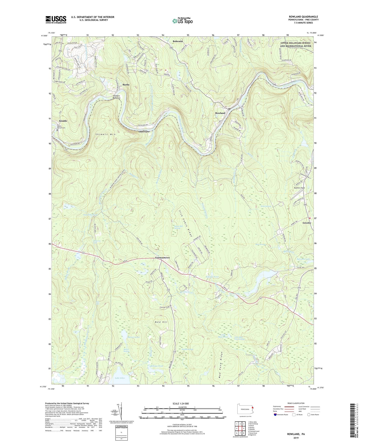
2023 topographic map quadrangle Rowland in the state of Pennsylvania. Scale: 1:24000. Based on the newly updated USGS 7.5' US Topo map series, this map is in the following counties: Pike. The map contains contour data, water features, and other items you are used to seeing on USGS maps, but also has updated roads and other features. This is the next generation of topographic maps. Printed on high-quality waterproof paper with UV fade-resistant inks.
Quads adjacent to this one:
West: Hawley
Northwest: White Mills
North: Narrowsburg
Northeast: Eldred
East: Shohola
Southeast: Edgemere
South: Pecks Pond
Southwest: Promised Land
This map covers the same area as the classic USGS quad with code o41075d1.
Contains the following named places: Bald Hill, Baoba, Bear Swamp, Beaver Lake, Beaver Swamp, Billings Pond, Billings Pond Dam, Blooming Grove Creek, Boehm Dam, Boehm's Field, Bohemia, Burchards Creek, Crawford Trail, Decker Creek, Fish Cabin Ridge, Fourmile Pond, Friendly Acres, Germantown, Glen Eyre, Grassy Island Creek, Greeley School, Greeley Volunteer Fire Department 23, High Falls, Hooper Creek, Killams Pond, Kimble, Kirkham Creek, Koski Swamp, Lake Giles, Lake Giles Dam, Lake Greeley, Lake Greely Dam, Little Blooming Grove Creek, Little Mud Pond Swamp, Lords Creek, Mill Creek, Mount Moriah Cemetery, Mud Pond Ridge, O'Donnell Creek, Owego Picnic Area, Pa-455 Dam, Pillar of Fire Church, Ridgeway Falls, Rowland, Rowland Post Office, Selma Lake, Shimers Mountain, Shimers Rock Cut, Smiths Swamp, Spring Brook, Steam Mill Run, Steam Mill Swamp, Steam Mill Trail, Sylvania Lake, Taylortown Creek, Teedyuskung Creek, Township of Lackawaxen, West Falls Creek, ZIP Codes: 18425, 18428, 18457