MyTopo
Russell Pennsylvania US Topo Map
Couldn't load pickup availability
Also explore the Russell Forest Service Topo of this same quad for updated USFS data
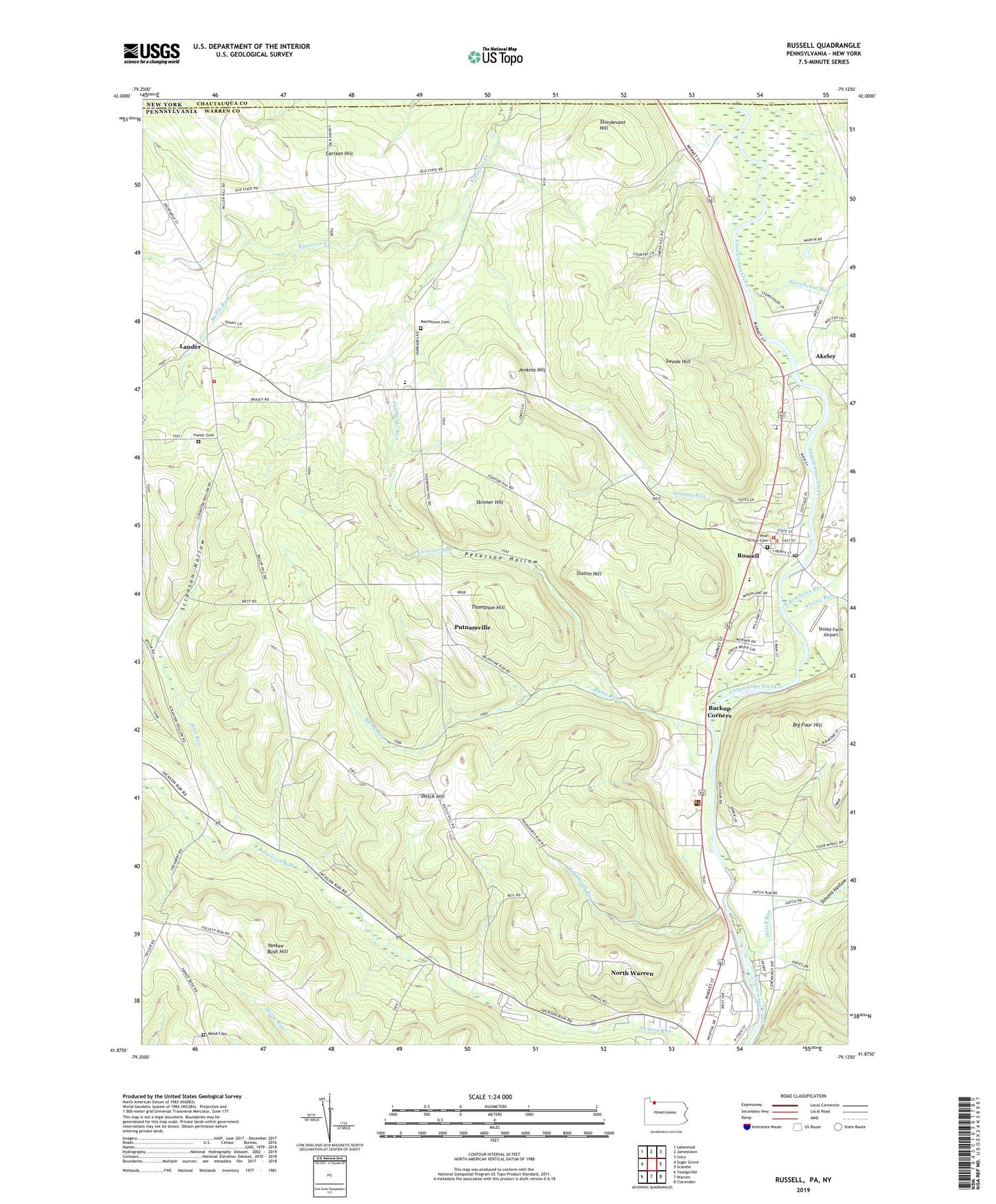
2023 topographic map quadrangle Russell in the states of Pennsylvania, New York. Scale: 1:24000. Based on the newly updated USGS 7.5' US Topo map series, this map is in the following counties: Warren, Chautauqua. The map contains contour data, water features, and other items you are used to seeing on USGS maps, but also has updated roads and other features. This is the next generation of topographic maps. Printed on high-quality waterproof paper with UV fade-resistant inks.
Quads adjacent to this one:
West: Sugar Grove
Northwest: Lakewood
North: Jamestown
Northeast: Ivory
East: Scandia
Southeast: Clarendon
South: Warren
Southwest: Youngsville
This map covers the same area as the classic USGS quad with code o41079h2.
Contains the following named places: Ackley Station Post Office, Akeley, Akeley Run, Alcorn Corners, Alcuin, Babcock, Babcock Corners, Backup Corners, Big Four Hill, Carlson Hill, Conewango Country Club, D O C Airport, Dougherty Run, Dunham Corners, Dutch Hill, Dutch Hill School, Eisenhower High School, Ellis Corners, Fairbanks Corners, Fairbanks Run, Foster Cemetery, Guy C Irving House, Hatch Corners, Hatch Run, Jackson Run, Jackson Run School, Jenkins Hill, Johnny Run, Lander, Lander Volunteer Fire Department Station 56, Mahan Corners, Marsh Corners, Marshtown Cemetery, Marshtown Corners, Mead Cemetery, Mead School, Mud Run, North Branch Akeley Run, North Warren Census Designated Place, Parker Corners, Parker School, Peterson Hollow, Pine Grove Cemetery, Preston Corners, Putnamville, Rhine Run, Rollin Run, Russell, Russell Census Designated Place, Russell Post Office, Russell Volunteer Fire Department Station 54, Scranton Hollow, Scranton Hollow School, Shield Farm Airport, Simons Hollow, Skinner Hill, State Game Lands Number 282, Staton Hill, Storehouse Run, Sturdevant Hill, Swede Hill, Thompson Hill, Township of Conewango, Township of Farmington, Trinity Church, Valentine Run, Warren State Hospital, Warren State Hospital Farm Colony, Wheeler Corners, Wheeler School, Wiltsie Corners, Wiltsie Run, Wiltsie School


