MyTopo
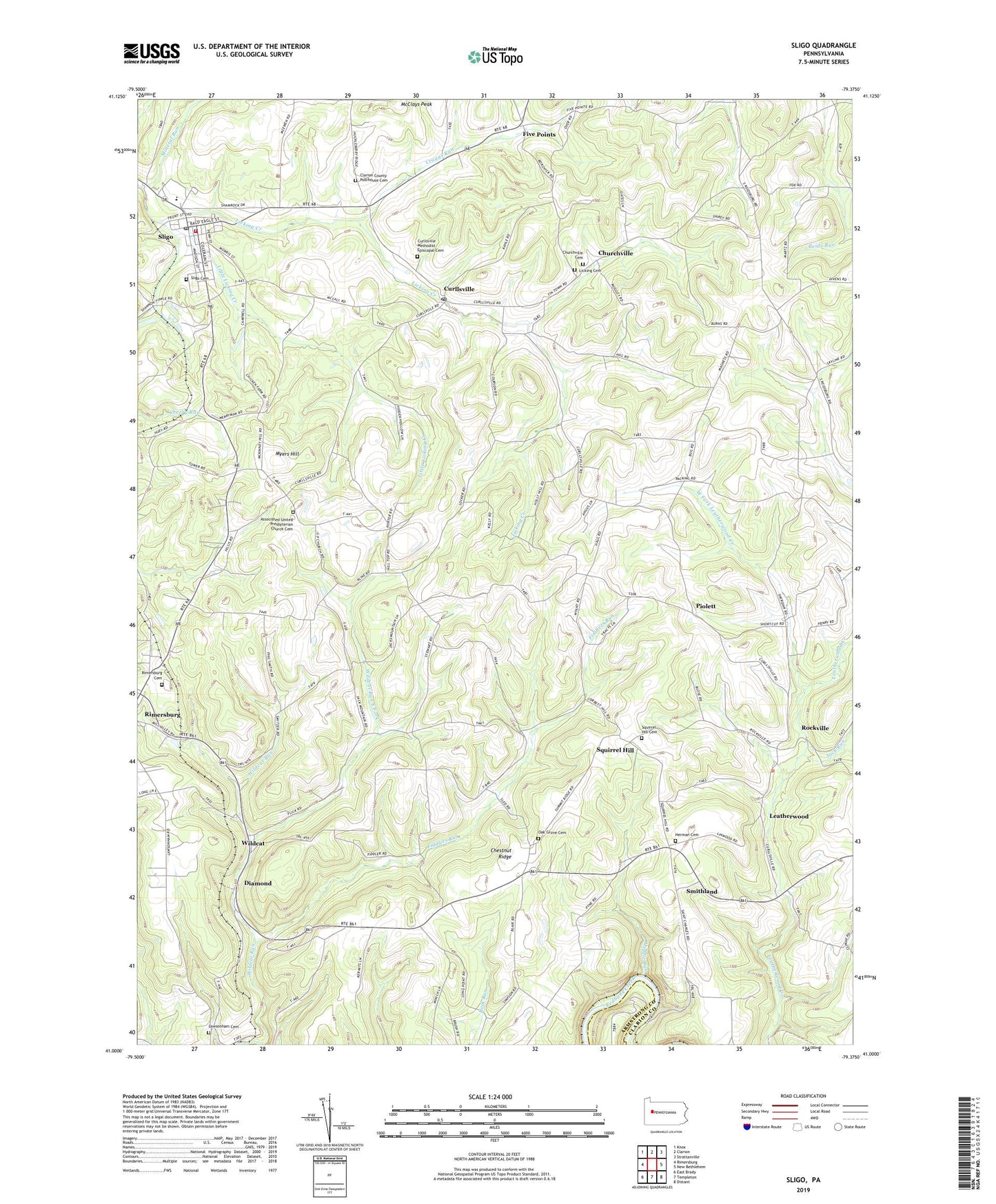
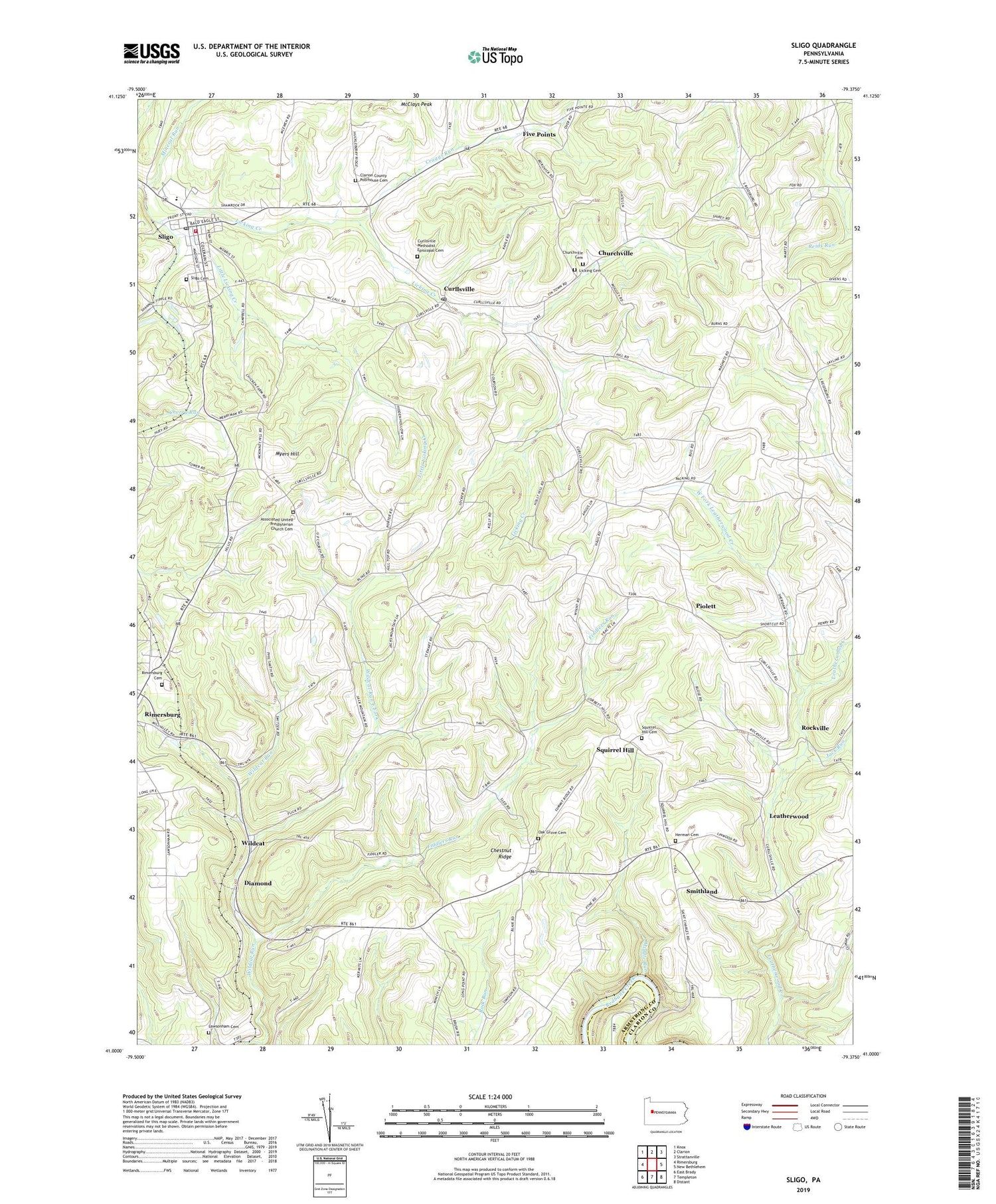
Sligo Pennsylvania US Topo Map
Couldn't load pickup availability
2019 topographic map quadrangle Sligo in the state of Pennsylvania. Scale: 1:24000. Based on the newly updated USGS 7.5' US Topo map series, this map is in the following counties: Clarion, Armstrong. The map contains contour data, water features, and other items you are used to seeing on USGS maps, but also has updated roads and other features. This is the next generation of topographic maps. Printed on high-quality waterproof paper with UV fade-resistant inks.
Quads adjacent to this one:
West: Rimersburg
Northwest: Knox
North: Clarion
Northeast: Strattanville
East: New Bethlehem
Southeast: Distant
South: Templeton
Southwest: East Brady
Contains the following named places: Acme Mines, Associated United Presbyterian Church Cemetery, Blair School, Borough of Sligo, Browns School, Cherry Run Church, Chestnut Ridge, Churchville, Churchville Cemetery, Clarion County Poorhouse Cemetery, Craggs Run, Curllsville, Curllsville Methodist Episcopal Cemetery, Curllsville Post Office, Diamond, Fiddlers Run, Five Points, Five Points School, Frostburg, Herman Cemetery, Independence School, Jack Run, Jocelyn Mine, Keystone Mine, Lawsonham Cemetery, Leatherwood, Leatherwood Station, Licking Cemetery, Licking Church, Little Licking Creek, Males School, McClays Peak, Middle Run, Mineral Run, Myers Hill, Oak Grove Cemetery, Oak Grove Church, Piolett, Reigle School, Rimersburg Cemetery, Rimersburg Station, Rockville, Saint Charles Furnace, Scrub Ridge School, Sharpsburg Church, Sligo, Sligo Cemetery, Sligo Post Office, Sligo Volunteer Fire Department Station 640, Smithland, Southern Clarion County Ambulance Service, Squirrel Hill, Squirrel Hill Cemetery, Township of Porter, Watson School, West Fork Leatherwood Creek, Wildcat, Wildcat Run East Fork