MyTopo
Rimersburg Pennsylvania US Topo Map
Couldn't load pickup availability
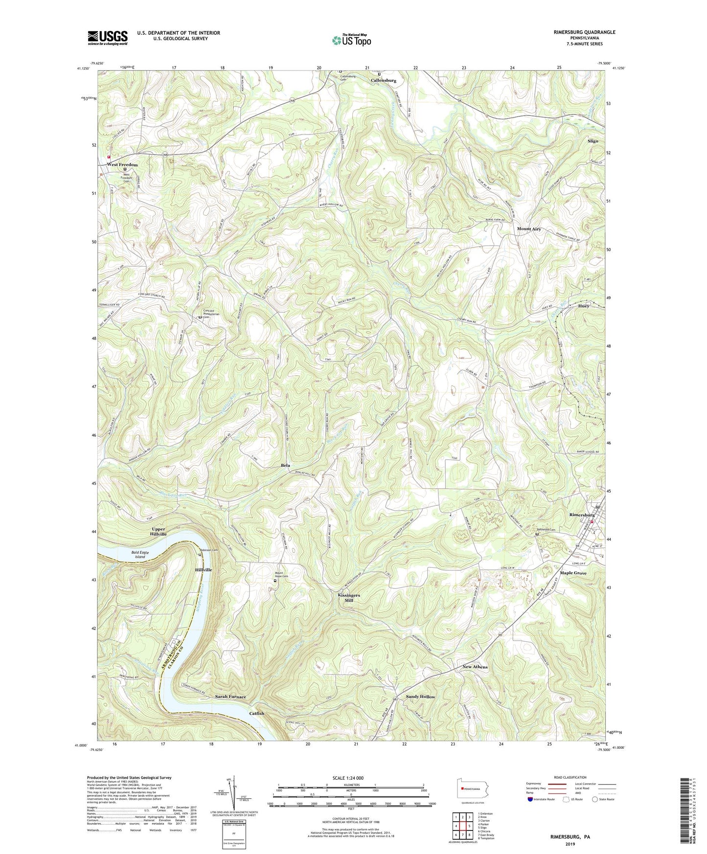
2023 topographic map quadrangle Rimersburg in the state of Pennsylvania. Scale: 1:24000. Based on the newly updated USGS 7.5' US Topo map series, this map is in the following counties: Clarion, Armstrong. The map contains contour data, water features, and other items you are used to seeing on USGS maps, but also has updated roads and other features. This is the next generation of topographic maps. Printed on high-quality waterproof paper with UV fade-resistant inks.
Quads adjacent to this one:
West: Parker
Northwest: Emlenton
North: Knox
Northeast: Clarion
East: Sligo
Southeast: Templeton
South: East Brady
Southwest: Chicora
This map covers the same area as the classic USGS quad with code o41079a5.
Contains the following named places: Anderson Run, Armstrong Run, Bald Eagle Island, Bela, Bethesda Cemetery, Birch Run, Blue Goose Mine, Borough of Rimersburg, Callensburg Cemetery, Callensburg Presbyterian Church Cemetery, Catfish, Catfish Run, Cherry Run, Cherry Run Campground, Cherry Run Church, Concord Church, Concord Presbyterian Cemetery, Cross Roads Grange, Eagle Mine, Fiddlers Run, Fredell Post Office, Hillville, Huey, Kissingers Mill, Lower Hillville, Maple Grove, Mount Airy, Mount Hope Cemetery, New Athens, Perry Township Volunteer Ambulance Service, Perry Township Volunteer Fire Department Station 610, Rimersburg, Rimersburg Elementary School, Rimersburg Hose Company Station 620, Rimersburg Post Office, Robinson Cemetery, Sandy Hollow, Sarah Furnace, Toby, Township of Madison, Township of Toby, Union High School, Upper Hillville, West Freedom, West Freedom Cemetery, ZIP Code: 16248