MyTopo
Isla De Vieques West OE S Puerto Rico US Topo Map
Couldn't load pickup availability
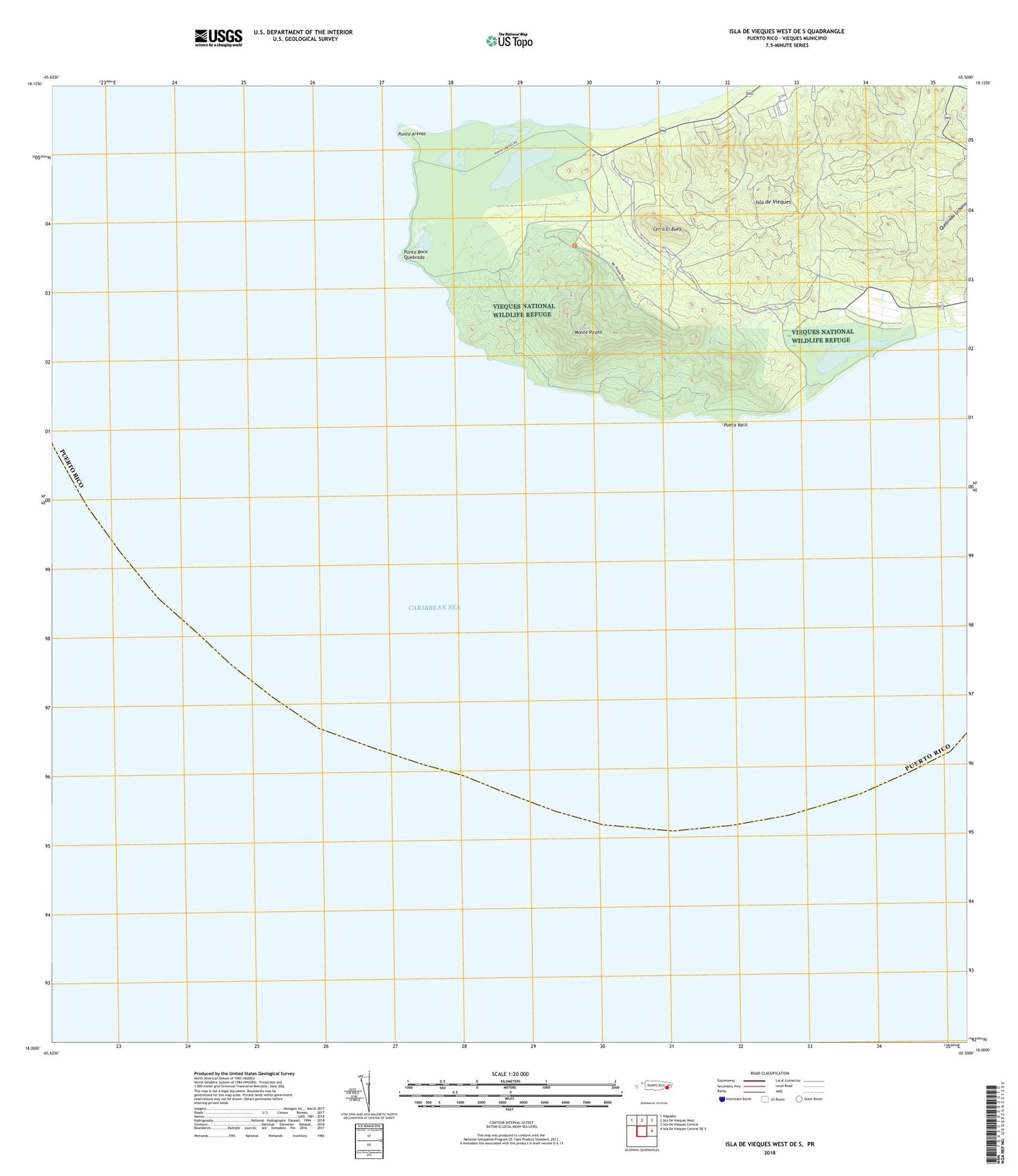
2024 topographic map quadrangle Isla De Vieques West OE S in the state of Puerto Rico. Scale: 1:20000. Based on the newly updated USGS 7.5' US Topo map series, this map is in the following counties: Humacao, Vieques. The map contains contour data, water features, and other items you are used to seeing on USGS maps, but also has updated roads and other features. This is the next generation of topographic maps. Printed on high-quality waterproof paper with UV fade-resistant inks.
Quads adjacent to this one:
Northwest: Naguabo
North: Isla De Vieques West
Northeast: Isla De Vieques Central
East: Isla De Vieques Central OE S
Contains the following named places: Cerro El Buey, Hacienda Arcadia, Laguna Arenas, Laguna El Pobre, Laguna Kiani, Laguna Playa Grande, Llave Barrio, Monte Pirata, Playa Grande, Punta Arenas, Punta Arenas Barrio, Punta Boca Quebrada, Punta Vaca, Resolucion