MyTopo
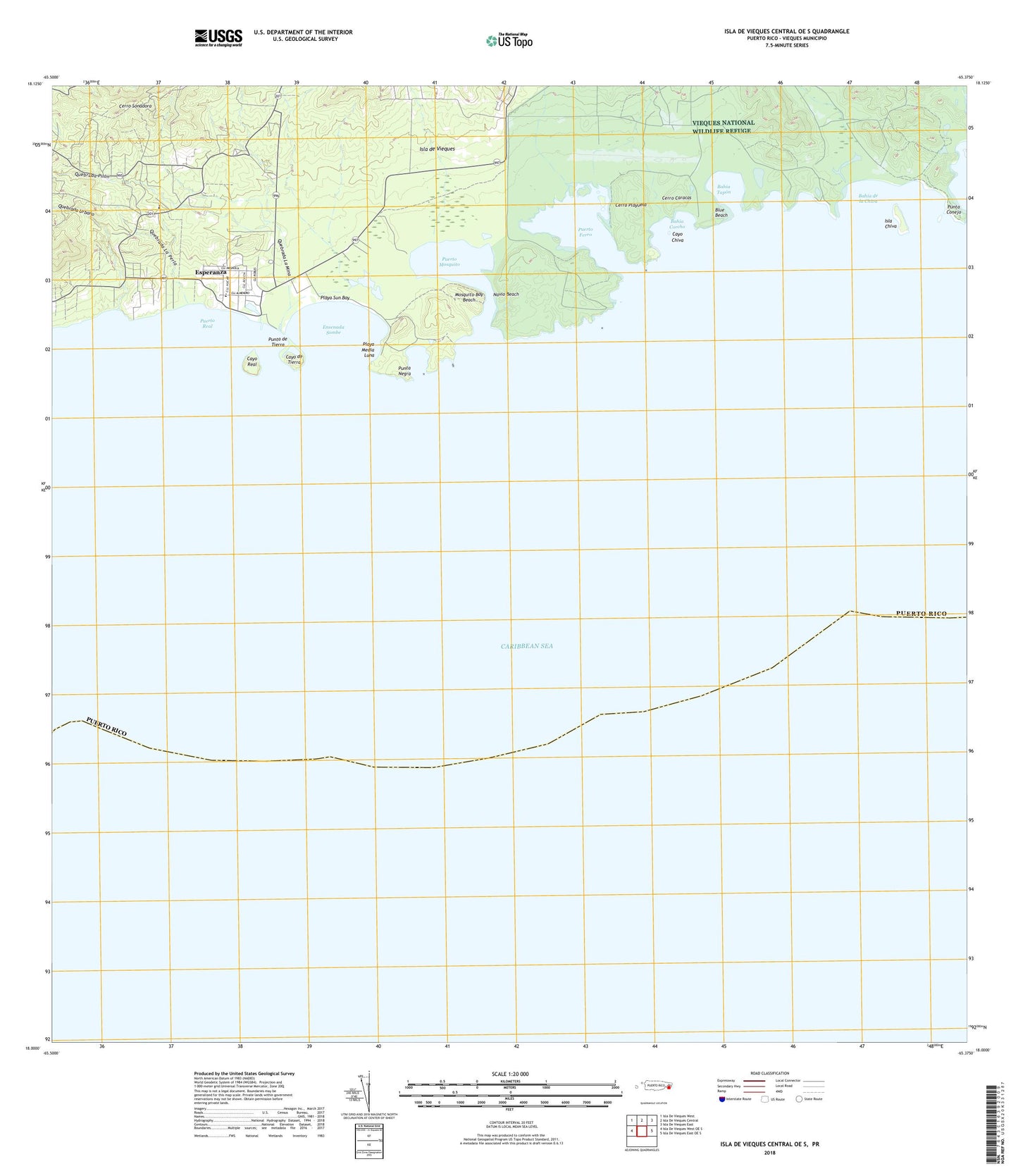
Isla De Vieques Central OE S Puerto Rico US Topo Map
Couldn't load pickup availability
2024 topographic map quadrangle Isla De Vieques Central OE S in the state of Puerto Rico. Scale: 1:20000. Based on the newly updated USGS 7.5' US Topo map series, this map is in the following counties: Humacao, Vieques. The map contains contour data, water features, and other items you are used to seeing on USGS maps, but also has updated roads and other features. This is the next generation of topographic maps. Printed on high-quality waterproof paper with UV fade-resistant inks.
Quads adjacent to this one:
West: Isla De Vieques West OE S
Northwest: Isla De Vieques West
North: Isla De Vieques Central
Northeast: Isla De Vieques East
East: Isla De Vieques East OE S
Contains the following named places: Bahia Corcho, Bahia de la Chiva, Bahia Tapon, Blue Beach, Camp Garcia Vieques Airport, Cayo Chiva, Cayo de Tierra, Cayo Real, Cerro Caracas, Cerro Playuela, Cerro Sonadora, Colonia Lujan, Colonia Puerto Real, Ensenada Sombe, Escuela Puerto Real, Escuela Rafael Brach, Esperanza, Esperanza Comunidad, Isla Chiva, Isla de Vieques, Laguna La Plata, Mosquito Bay Beach, Museo de Esperanza, Navio Beach, Playa Media Luna, Playa Sun Bay, Puerto Ferro, Puerto Ferro Barrio, Puerto Mosquito, Puerto Real, Puerto Real Barrio, Punta Conejo, Punta de Tierra, Punta Negra, Quebrada La Mina, Quebrada La Perla, Quebrada Pilon, Quebrada Urbano, Vieques Conservation and Historical Trust, WIVV-AM (Isla de Vieques)


