MyTopo
Blakely South Carolina US Topo Map
Couldn't load pickup availability
Also explore the Blakely Forest Service Topo of this same quad for updated USFS data
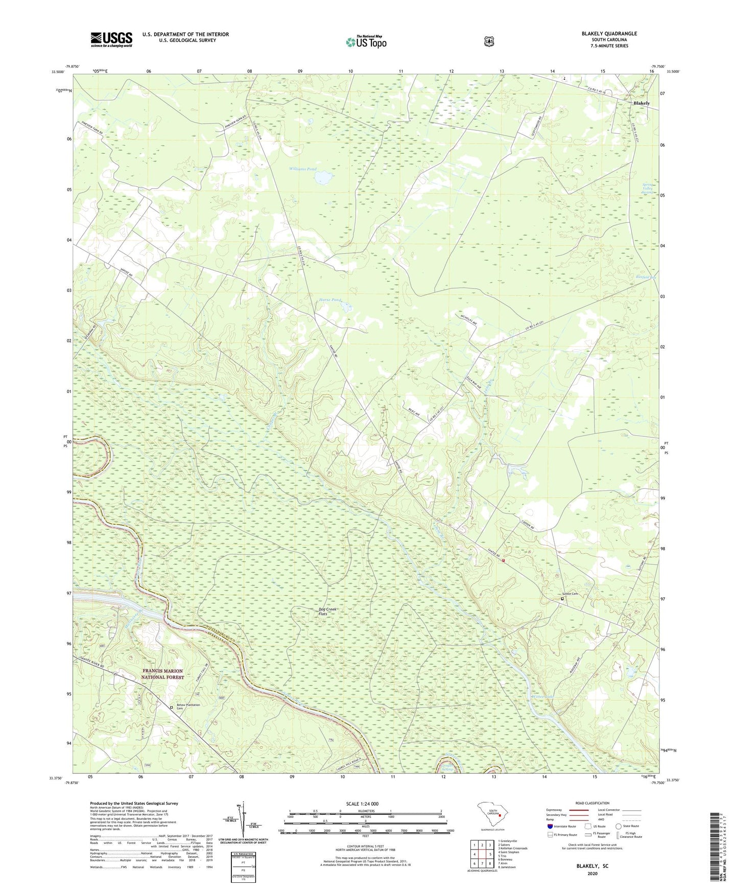
2024 topographic map quadrangle Blakely in the state of South Carolina. Scale: 1:24000. Based on the newly updated USGS 7.5' US Topo map series, this map is in the following counties: Williamsburg, Berkeley. The map contains contour data, water features, and other items you are used to seeing on USGS maps, but also has updated roads and other features. This is the next generation of topographic maps. Printed on high-quality waterproof paper with UV fade-resistant inks.
Quads adjacent to this one:
West: Saint Stephen
Northwest: Greeleyville
North: Salters
Northeast: Kellehan Crossroads
East: Trio
Southeast: Jamestown
South: Alvin
Southwest: Bonneau
This map covers the same area as the classic USGS quad with code o33079d7.
Contains the following named places: Betaw Church, Betaw Plantation, Betaw Plantation Cemetery, Billy Cox Lower Pond Dam D-3089, Billy Cox Upper Pond, Billy Cox Upper Pond Dam D-3090, Blakely, Chapel Branch, Charity Church, Crawl Creek, D P Cooper Elementary School, Doctor Pond School, Dog Creek Flats, Floricane, Honey Hill Church, Horse Pond, Jerusalem African Methodist Episcopal Church, Jerusalem School, June Branch, Lane Division, Laurel Hill Boat Ramp, Matassee, Mattassee Branch, Mattassee Lake, Saint Peter Church, Scott Woods Plantation, South Carolina Gun Club, Sutton Cemetery, Sutton Church, Sutton School, Terry School, Wee Tee School, Williams Pond, Williamsburg County Fire Department Suttons, Williamsburg-Blakely Elementary/Middle School, Wittee Lake, ZIP Code: 29564