MyTopo
Salters South Carolina US Topo Map
Couldn't load pickup availability
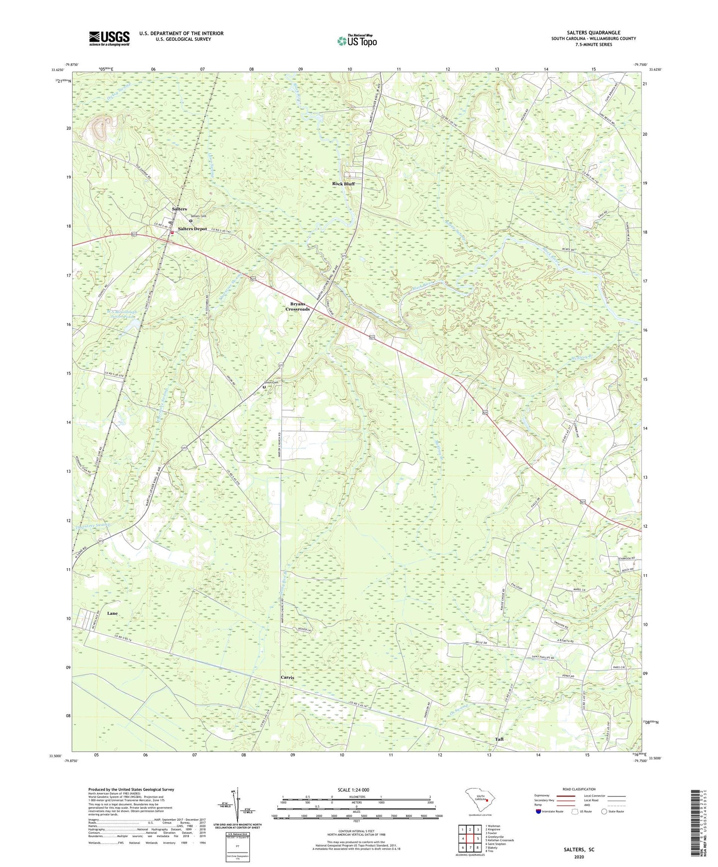
2024 topographic map quadrangle Salters in the state of South Carolina. Scale: 1:24000. Based on the newly updated USGS 7.5' US Topo map series, this map is in the following counties: Williamsburg. The map contains contour data, water features, and other items you are used to seeing on USGS maps, but also has updated roads and other features. This is the next generation of topographic maps. Printed on high-quality waterproof paper with UV fade-resistant inks.
Quads adjacent to this one:
West: Greeleyville
Northwest: Workman
North: Kingstree
Northeast: Fowler
East: Kellehan Crossroads
Southeast: Trio
South: Blakely
Southwest: Saint Stephen
This map covers the same area as the classic USGS quad with code o33079e7.
Contains the following named places: Bennett School, Blakely School, Boggy Swamp, Boswells Beach, Bryans Crossroads, Carris, Carris School, Central School, Dickey Swamp, Jehovah Church, Jerusalem Church, Lane Chapel, Laws Swamp, Marion School, Millwood School, Mortons Church, Pilgrim Church, Randy Grove Church, Rock Bluff, Saint Lawrence School, Saint Lukes Church, Saint Mark Church, Saint Marys Church, Saint Marys School, Saint Matthews Church, Saint Matthews School, Saint Phillips Church, Saint Rest Church, Salters, Salters Cemetery, Salters Depot, Salters Methodist Church, Stony Run Branch, Taft, Thorntree Swamp, Union Cemetery, Union Church, W S McCollough Junior Pond, W S McCollough Junior Pond Dam D-3085, Ward School, Wesley Church, Williamsburg County Fire Department Salters, ZIP Code: 29590