MyTopo
Fripp Inlet South Carolina US Topo Map
Couldn't load pickup availability
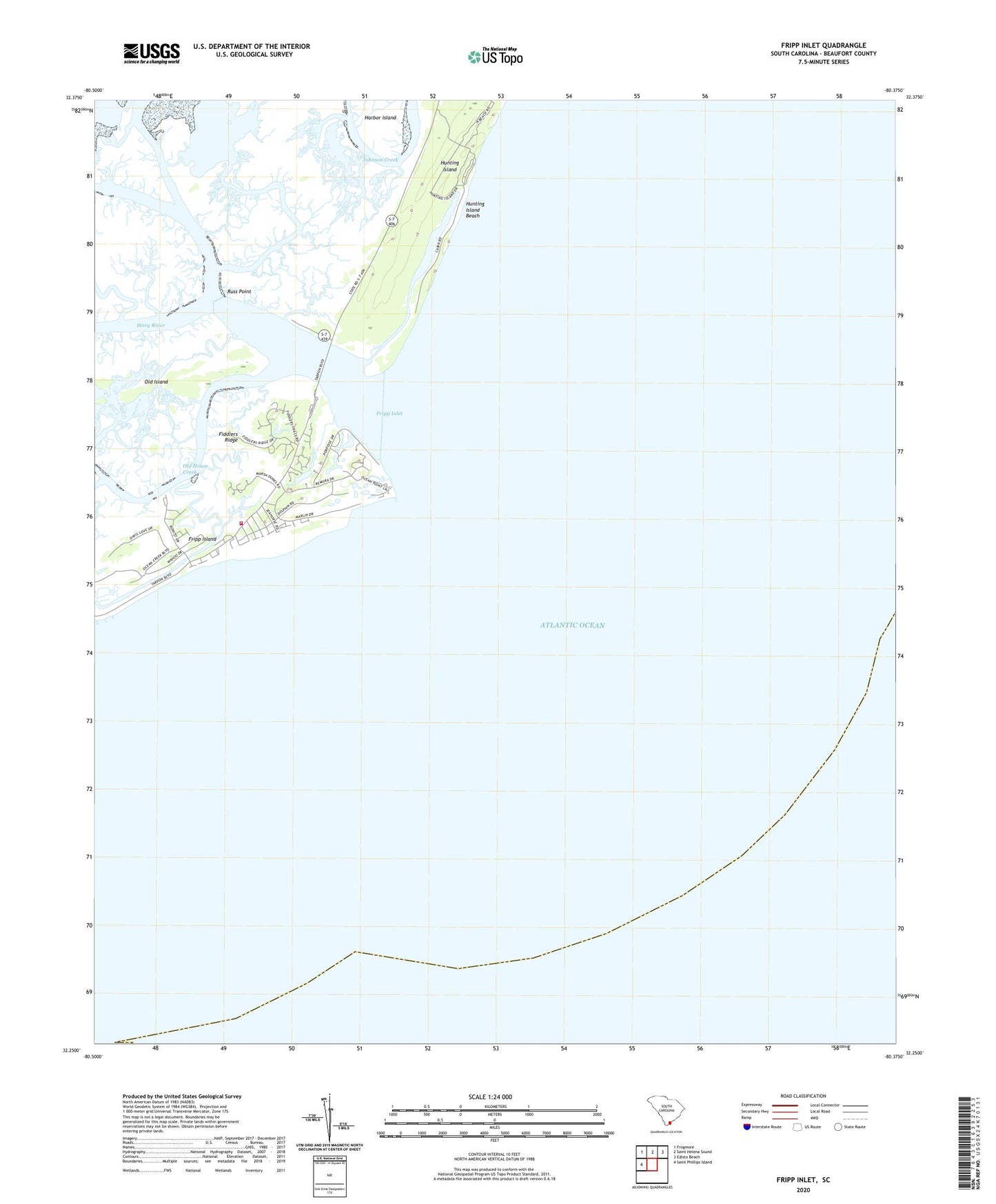
2024 topographic map quadrangle Fripp Inlet in the state of South Carolina. Scale: 1:24000. Based on the newly updated USGS 7.5' US Topo map series, this map is in the following counties: Beaufort. The map contains contour data, water features, and other items you are used to seeing on USGS maps, but also has updated roads and other features. This is the next generation of topographic maps. Printed on high-quality waterproof paper with UV fade-resistant inks.
Quads adjacent to this one:
West: Saint Phillips Island
Northwest: Frogmore
North: Saint Helena Sound
Northeast: Edisto Beach
This map covers the same area as the classic USGS quad with code o32080c4.
Contains the following named places: Fiddlers Ridge, Fripp Inlet, Fripp Island, Fripp Island Census Designated Place, Fripp Island Emergency Heliport, Fripp Island Fire Department, Hunting Island, Hunting Island Beach, Hunting Island State Park, Old House Creek, Russ Point, Spring Tide Shopping Center