MyTopo
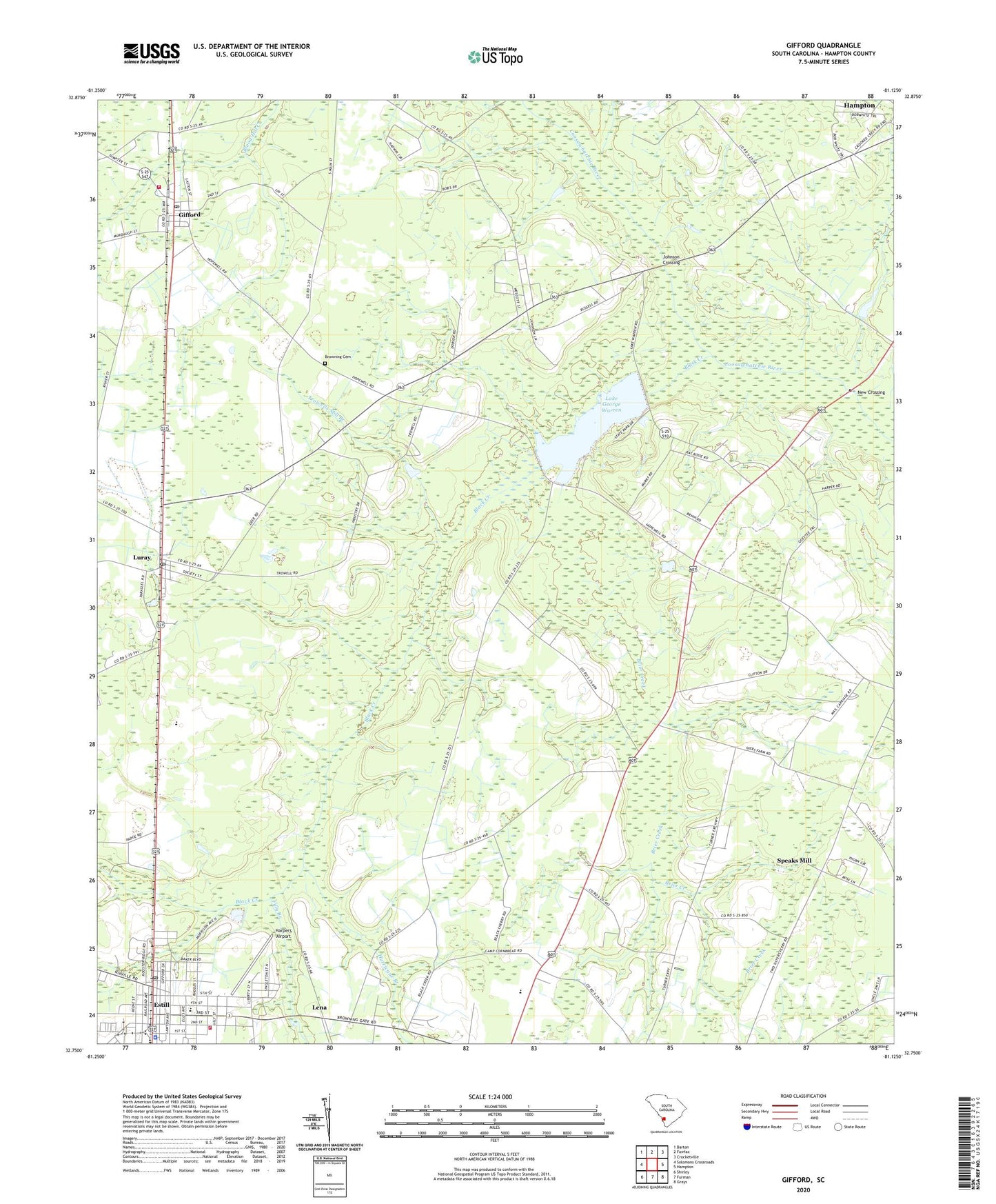
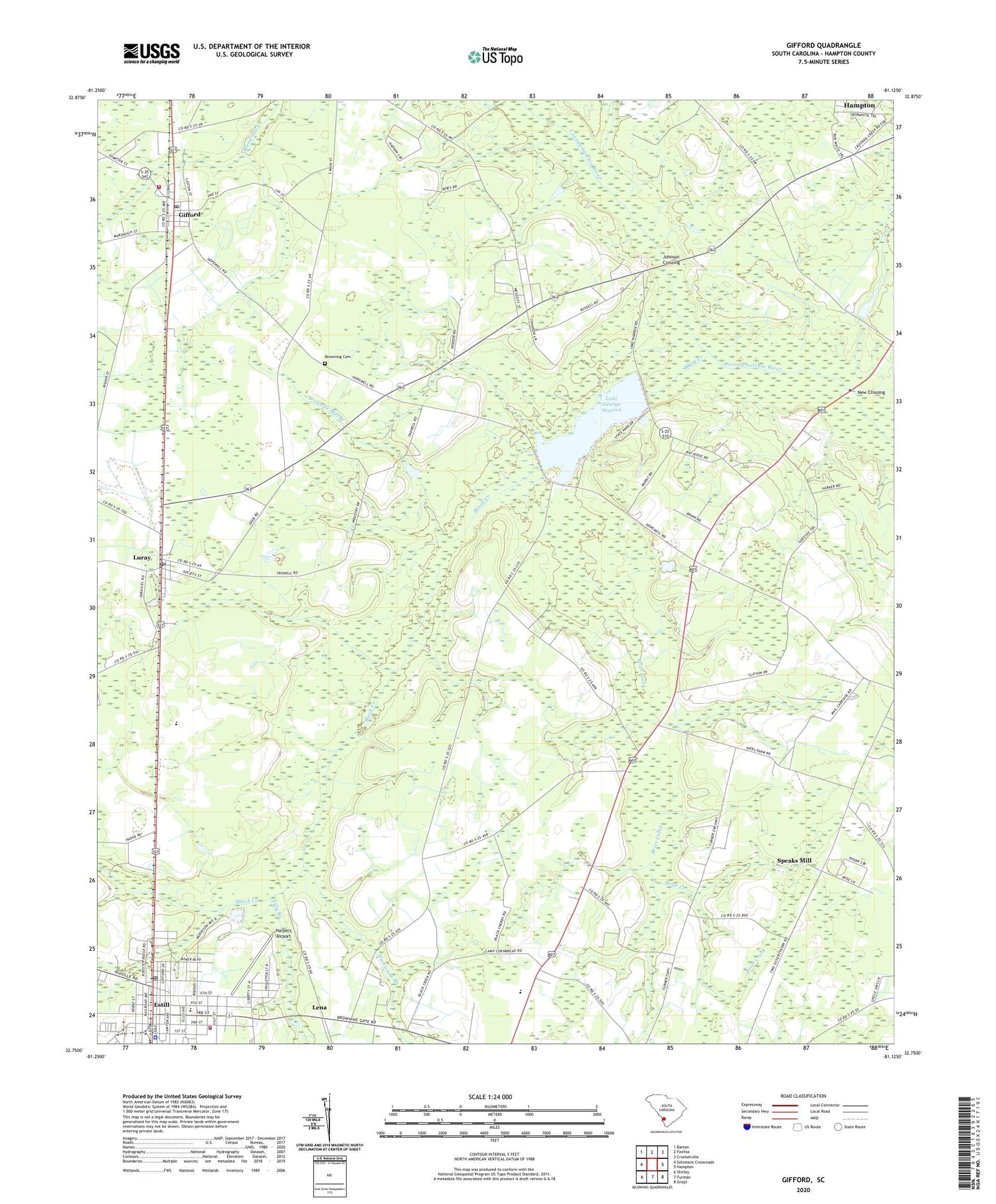
Gifford South Carolina US Topo Map
Couldn't load pickup availability
2020 topographic map quadrangle Gifford in the state of South Carolina. Scale: 1:24000. Based on the newly updated USGS 7.5' US Topo map series, this map is in the following counties: Hampton. The map contains contour data, water features, and other items you are used to seeing on USGS maps, but also has updated roads and other features. This is the next generation of topographic maps. Printed on high-quality waterproof paper with UV fade-resistant inks.
Quads adjacent to this one:
West: Solomons Crossroads
Northwest: Barton
North: Fairfax
Northeast: Crocketville
East: Hampton
Southeast: Grays
South: Furman
Southwest: Shirley
Contains the following named places: Airsdale School, Black Creek, Black Creek Church, Brier Creek, Browning Cemetery, Browning Church, Coosawhatchie School, Estill, Estill Division, Estill Elementary School, Estill Emergency Management Services, Estill Fire Department Station 20, Estill High School, Estill Industrial Park, Estill Police Department, Estill Post Office, Estill Public Library, Filly Branch, Gifford, Gifford Fire Department Station 40, Gifford Post Office, Gifford School, Gifford-Luray School, Hampton County, Hampton County Fire Department Station 20 Estill, Harpers Airport, Hopewell Baptist Church, Horse Pond, Hurricane Branch, Johnson Crossing, Kingdom Hall of Jehovahs Witnesses, Lake George Warren, Lake Warren, Lake Warren State Park, Lawtonville Baptist Church, Lena, Long Branch Church, Lovett Church, Luray, Luray Post Office, Luray School, Millville School, Mount Olive Church, New Crossing, Patrick Henry Academy, Saint Peters Church, South Carolina Noname 25001 D-2603 Dam, Speaks Mill, Sweet Rose Church, Town of Estill, Town of Gifford, Town of Luray, Trowells Mill Branch, Wish Well Church, Wishwell School, ZIP Code: 29923