
MyTopo
Islandton South Carolina US Topo Map
Couldn't load pickup availability
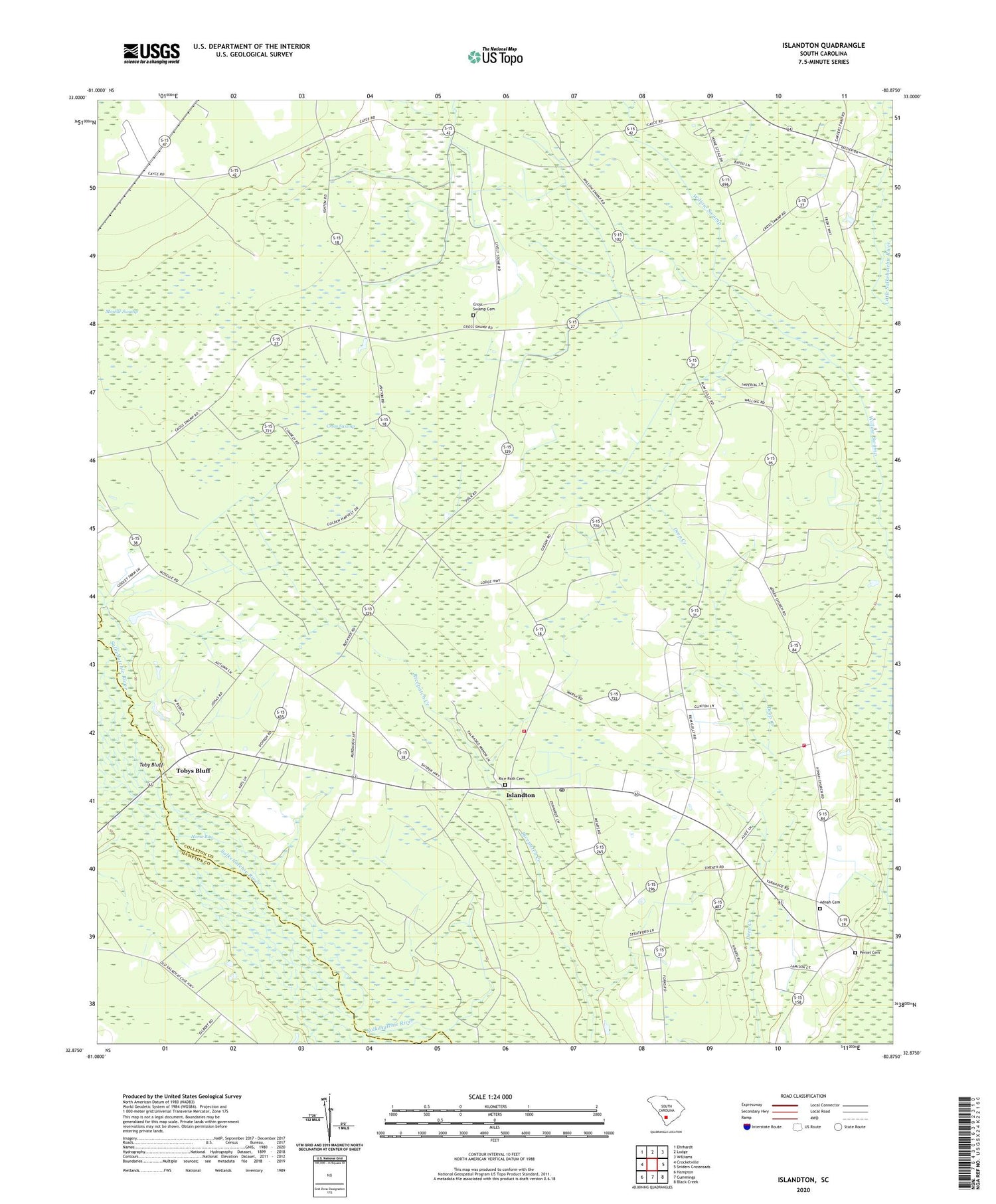
2020 topographic map quadrangle Islandton in the state of South Carolina. Scale: 1:24000. Based on the newly updated USGS 7.5' US Topo map series, this map is in the following counties: Colleton, Hampton. The map contains contour data, water features, and other items you are used to seeing on USGS maps, but also has updated roads and other features. This is the next generation of topographic maps. Printed on high-quality waterproof paper with UV fade-resistant inks.
Quads adjacent to this one:
West: Crocketville
Northwest: Ehrhardt
North: Lodge
Northeast: Williams
East: Sniders Crossroads
Southeast: Black Creek
South: Cummings
Southwest: Hampton
Contains the following named places: Adnah Cemetery, Adnah Church, Cedar Branch, Cedar Branch School, Colleton Fire Department Station 10, Colleton Fire Department Station 15, Cross Swamp, Cross Swamp Cemetery, Cross Swamp Church, Cross Swamp School, Deep Creek Church, Deep Creek School, Islandton, Islandton Census Designated Place, Islandton Post Office, Islandton School, Lodge Division, Moselle Swamp, New Hope Church, Oakgrove School, Pemel Church, Peniel Baptist Church, Peniel Cemetery, Piney Grove School, Rice Patch Christian Church, Rice Path Cemetery, Ricepatch School, Rum Gully, Rum Gully School, Saint John Church, Saint John School, Toby Bluff, Tobys Bluff, Tobys Bluff Church, Tobys Bluff School, Whippy Swamp, Willow Swamp, ZIP Code: 29929


