MyTopo
Lodge South Carolina US Topo Map
Couldn't load pickup availability
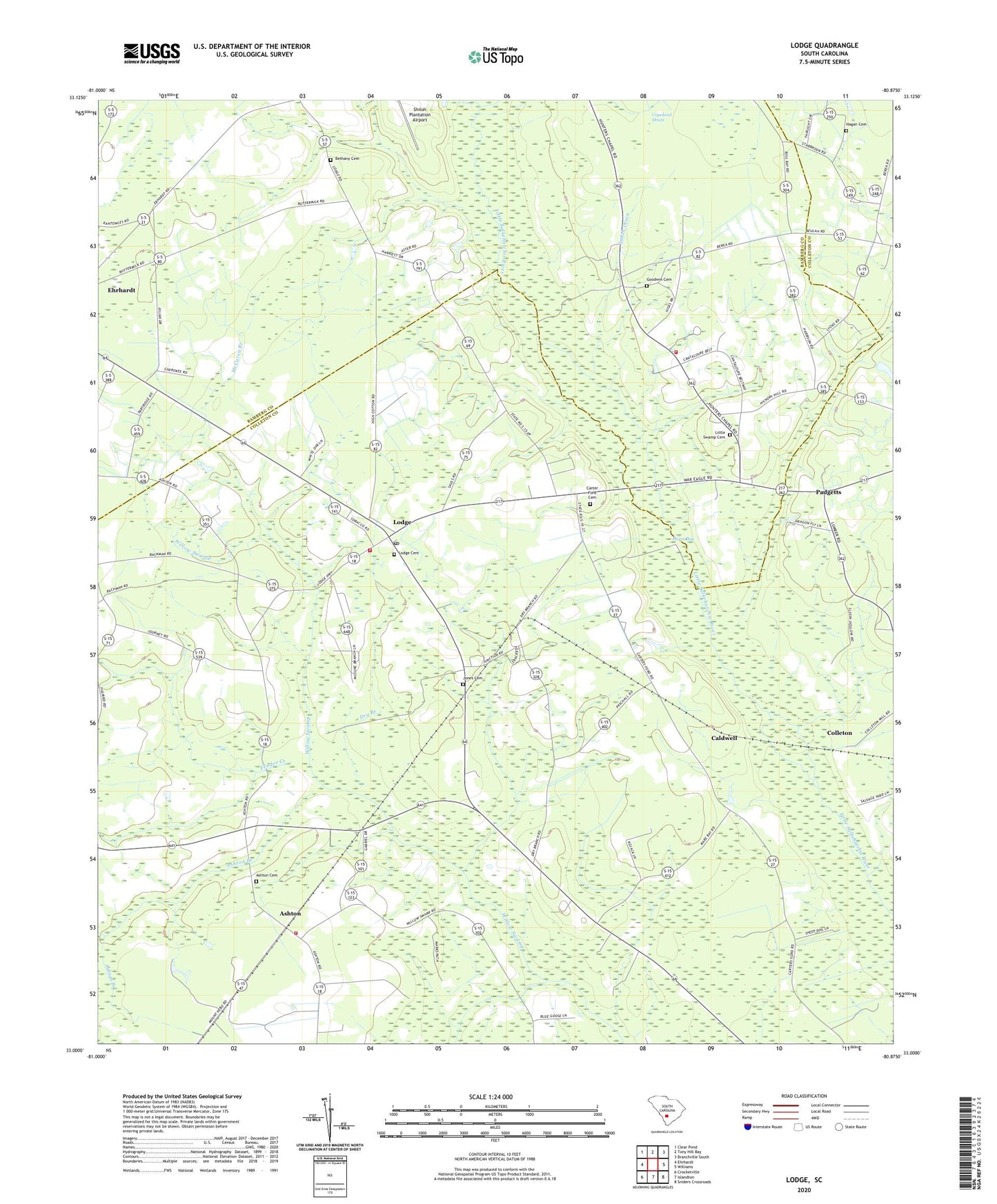
2024 topographic map quadrangle Lodge in the state of South Carolina. Scale: 1:24000. Based on the newly updated USGS 7.5' US Topo map series, this map is in the following counties: Colleton, Bamberg. The map contains contour data, water features, and other items you are used to seeing on USGS maps, but also has updated roads and other features. This is the next generation of topographic maps. Printed on high-quality waterproof paper with UV fade-resistant inks.
Quads adjacent to this one:
West: Ehrhardt
Northwest: Clear Pond
North: Tony Hill Bay
Northeast: Branchville South
East: Williams
Southeast: Sniders Crossroads
South: Islandton
Southwest: Crocketville
This map covers the same area as the classic USGS quad with code o33080a8.
Contains the following named places: Ashton, Ashton Branch, Ashton Cemetery, Ashton Church, Ashton School, Berea Advent Church, Bethany Cemetery, Bethany Church, Caldwell, Carter Ford Cemetery, Carter Ford Church, Colleton, Colleton Fire Department Station 23, Colleton Fire Department Station 3, Community Church, Copeland Drain, Dry Branch, Dryer School, Fender Creek, George School, Goodwin Cemetery, H and B Junction, Hagan Cemetery, Hickory Hill Church, Jones Cemetery, Little Swamp Baptist Church, Little Swamp Cemetery, Little Swamp Church, Little Swamp Fire Department Station 7, Little Swamp School, Lodge, Lodge Cemetery, Lodge Lookout Tower, Lodge Methodist Church, Lodge Post Office, McCuren Branch, McCuren Branch Church, Mount Nebo Church, Oak Grove School, Padgetts, Rum Gully School, Smith Drain, Town of Lodge, ZIP Code: 29082