MyTopo
Lake Robinson South Carolina US Topo Map
Couldn't load pickup availability
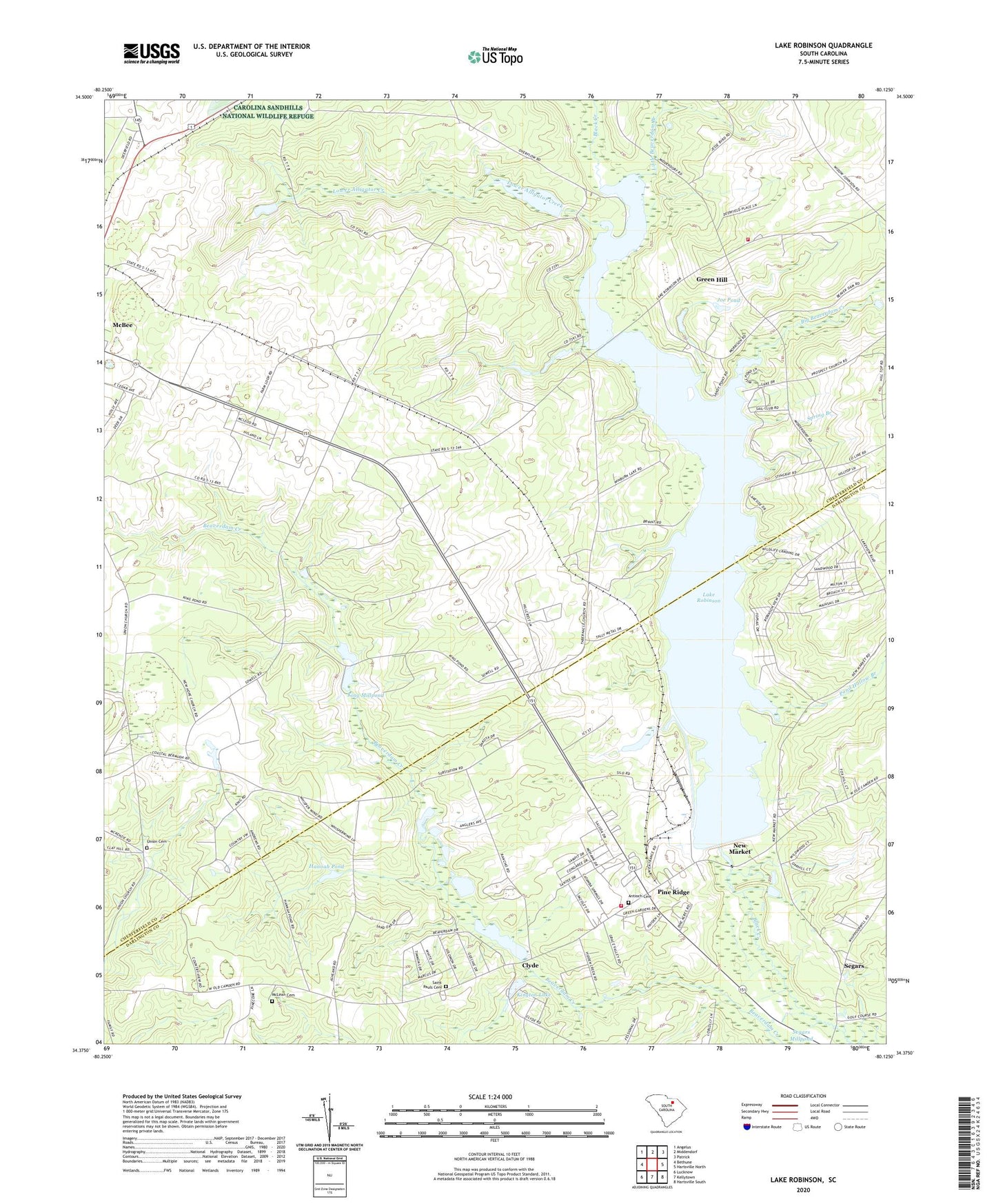
2024 topographic map quadrangle Lake Robinson in the state of South Carolina. Scale: 1:24000. Based on the newly updated USGS 7.5' US Topo map series, this map is in the following counties: Chesterfield, Darlington. The map contains contour data, water features, and other items you are used to seeing on USGS maps, but also has updated roads and other features. This is the next generation of topographic maps. Printed on high-quality waterproof paper with UV fade-resistant inks.
Quads adjacent to this one:
West: Bethune
Northwest: Angelus
North: Middendorf
Northeast: Patrick
East: Hartsville North
Southeast: Hartsville South
South: Kellytown
Southwest: Lucknow
This map covers the same area as the classic USGS quad with code o34080d2.
Contains the following named places: Alligator Fire Department Lake Robinson, Antioch Cemetery, Antioch Church, Antioch School, Beaver Dam Mill, Beaverdam Millpond, Big Beaverdam Creek, C P and L Slag Pond Dam D-3514, Charlie Luthers Pond Dam D-3510, Church of God of Prophecy, Clyde, Clyde Millpond, Darlington County Fire Department Pine Ridge, Green Hill, Green Hill School, Greenhill School, Gum Swamp Church, Hannah Pond, Harmon Pond Dam D-3201, Highway School, Hilton Kings Pond Dam D-3511, Ingrams, Ington Lake Dam D-3513, Joe Pond, King Millpond, King Millpond Dam D-3202, Kington Lake, Lake Robinson, Lake Robinson Rescue Squad, Laland School, Leland, Little Beaverdam Branch, Lower Alligator Creek, McLean Cemetery, New Hope Church, New Hope Church Cemetery, New Hope School, New Market, New Market Methodist Church, Pine Ridge, Pine Ridge Census Designated Place, Pine Ridge Church, Pine Ridge Church of God, Pine Ridge Congregational Holiness Church, Pond Hollow Branch, Saint Pauls Cemetery, Segars, Shady Grove Cemetery, Shady Grove Church, South Carolina Noname 16014 D-3512 Dam, South Carolina Noname 16033 Dam, Sowells Pond Dam D-1832, Spring Branch, Spring Branch Church, Spring Branch Church Cemetery, Tabernacle, Tabernacle Church, Tabernacle Church Cemetery, Union Cemetery, Union Church, ZIP Code: 29101


