MyTopo
Glenn Springs South Carolina US Topo Map
Couldn't load pickup availability
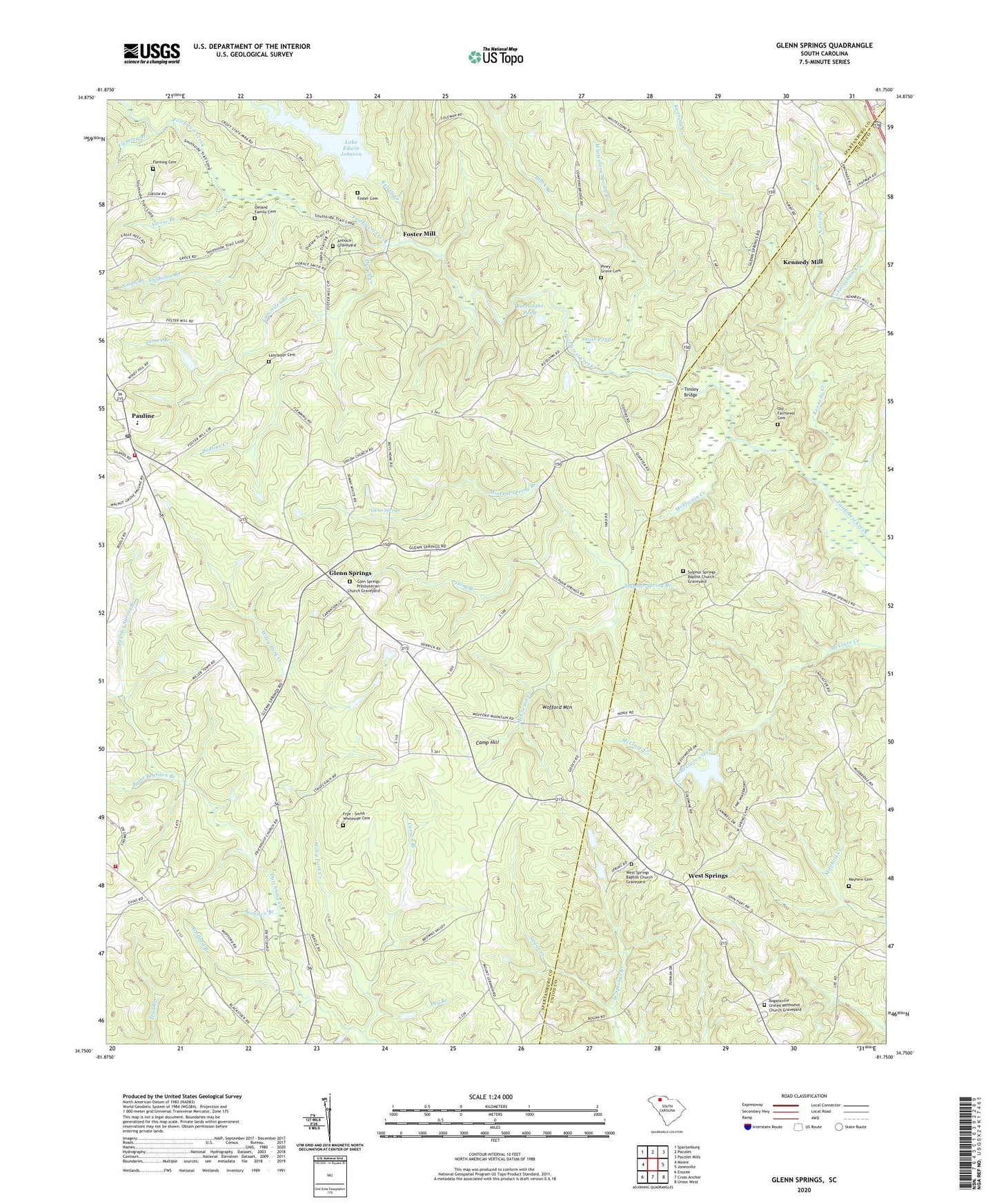
2024 topographic map quadrangle Glenn Springs in the state of South Carolina. Scale: 1:24000. Based on the newly updated USGS 7.5' US Topo map series, this map is in the following counties: Spartanburg, Union. The map contains contour data, water features, and other items you are used to seeing on USGS maps, but also has updated roads and other features. This is the next generation of topographic maps. Printed on high-quality waterproof paper with UV fade-resistant inks.
Quads adjacent to this one:
West: Moore
Northwest: Spartanburg
North: Pacolet
Northeast: Pacolet Mills
East: Jonesville
Southeast: Union West
South: Cross Anchor
Southwest: Enoree
This map covers the same area as the classic USGS quad with code o34081g7.
Contains the following named places: Antioch Church, Antioch Graveyard, Bearden Branch, Black Branch, Bogansville Methodist Church, Bogansville United Methodist Church Graveyard, Burroughs Pond, Calvary Episcopal Church Graveyard, Camp Hill, Carson Branch, Chestnut Ridge Church, Chestnut Ridge Methodist Church Graveyard, Coleman School, Cow Ford Bridge, Croft Lake, Cunningham Creek, Dugan Creek, Fairforest Presbyterian Church, Fleming Branch, Fleming Cemetery, Foster Cemetery, Foster Mill, Friendship Baptist Church Graveyard, Friendship Church, Friendship School, Frye - Smith - Whiteside Cemetery, Glen Springs - Pauline Fire Department Station 1, Glen Springs Presbyterian Church Graveyard, Glenn Springs, Glenn Springs - Pauline Fire Department Station 2, Glenn Springs Census Designated Place, Glenn Springs Historic District, Glenn Springs Presbyterian Church, Glenn Springs School, Goose Branch, Harris Creek, Jacobs Chapel, James Branch, Kelsey Creek, Kennedy Creek, Kennedy Mill, Kenney Chapel, Knott Hill School, Lake Edwin Johnson, Lancaster Branch, Lancaster Cemetery, Maple Pond, Mayhew Cemetery, McElwain Creek, Meansville, Mineral Spring Branch, Mount Pleasant Church, Oeland Family Cemetery, Old Fairforest Cemetery, Paint Bearden Branch, Pauline, Pauline Census Designated Place, Pauline Creek, Pauline Post Office, Pauline School, Pauline-Glenn Springs Elementary School, Philadelphia Baptist Church, Philadelphia Baptist Church Graveyard, Piney Grove Cemetery, Piney Grove Church, Powder Spring Branch, Rock Spring Pond, Shands Branch, Shiloh Baptist Church, Shiloh Baptist Church Graveyard, Shiloh School, Smith Branch, Smith Pond, South Carolina Noname 42007 D-3379 Dam, South Carolina Noname 42008 D-3383 Dam, Spartanburg Boys Home, Stillhouse Branch, Story Branch, Sulphur Spring Branch, Sulphur Springs Baptist Church, Sulphur Springs Baptist Church Graveyard, Thompson Chapel Baptist Church Graveyard, Thompson Church, Thompson Creek, Thompson School, Tinsley Bridge, Twin Oaks Picnic Area, West Springs, West Springs Baptist Church, West Springs Baptist Church Graveyard, West Springs Branch, West Springs Church, West Springs Elementary School, West Springs School, White Stone Springs, Whitestone Spring Branch, Wile Creek, Wiley Fork Creek, Wofford Branch, Wofford Mountain, ZIP Code: 29374


