MyTopo
Pritchardville South Carolina US Topo Map
Couldn't load pickup availability
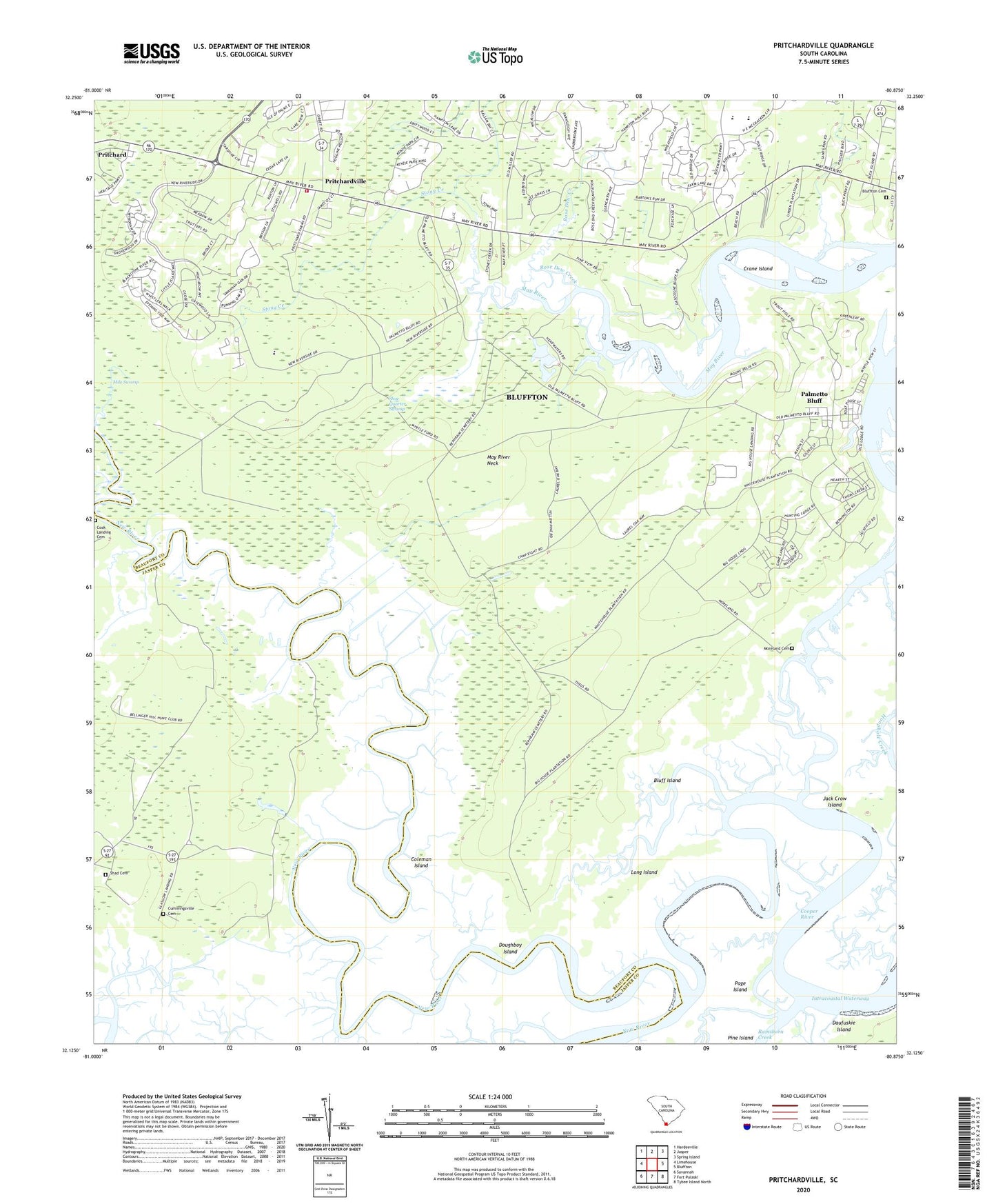
2024 topographic map quadrangle Pritchardville in the state of South Carolina. Scale: 1:24000. Based on the newly updated USGS 7.5' US Topo map series, this map is in the following counties: Beaufort, Jasper. The map contains contour data, water features, and other items you are used to seeing on USGS maps, but also has updated roads and other features. This is the next generation of topographic maps. Printed on high-quality waterproof paper with UV fade-resistant inks.
Quads adjacent to this one:
West: Limehouse
Northwest: Hardeeville
North: Jasper
Northeast: Spring Island
East: Bluffton
Southwest: Savannah
This map covers the same area as the classic USGS quad with code o32080b8.
Contains the following named places: Bellinger Hill School, Bluff Island, Bluffton Cemetery, Bluffton Elementary School, Bluffton Township Fire District Station 31, Coleman Island, Cook Landing Cemetery, Cooper River, Crane Island, Cummingsville Cemetery, Doughboy Island, Glasgow Landing, Good Hope Landing, H E McCracken Middle School, Jack Crow Island, Long Island, May River Neck, Maye River Baptist Church, Mile Swamp, Moreland Cemetery, Mount Zion Church, Page Island, Palmetto Bluff, Pilgrim Church, Pritchardville, Rose Dew Creek, Saint Matthews Church, Shad Cemetery, Shoe Quarter Swamp, Stoney School, Stony Creek, Town of Bluffton, Union Camp Pond Dam D-2939, ZIP Code: 29910