MyTopo
Rock Hill East South Carolina US Topo Map
Couldn't load pickup availability
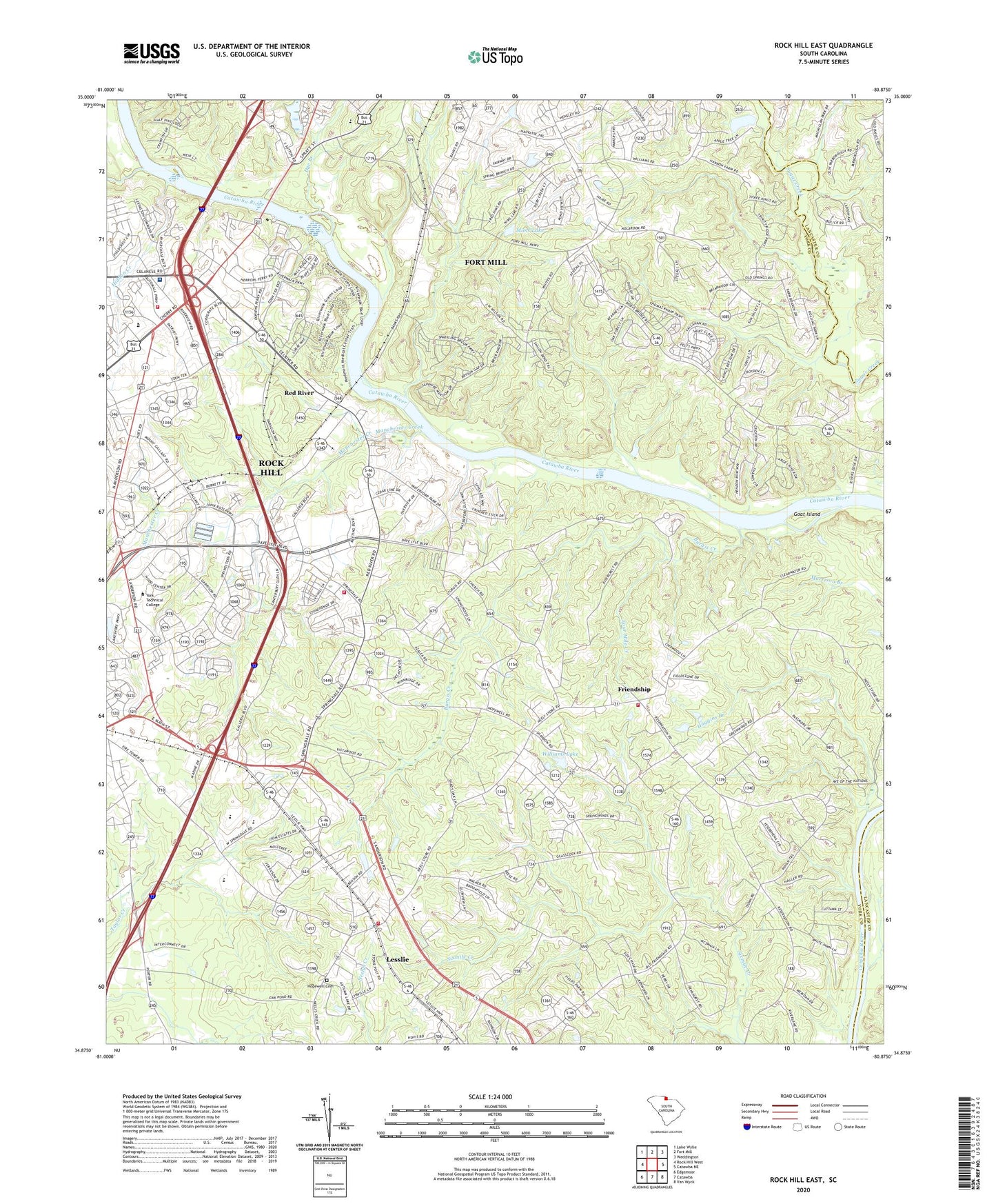
2024 topographic map quadrangle Rock Hill East in the state of South Carolina. Scale: 1:24000. Based on the newly updated USGS 7.5' US Topo map series, this map is in the following counties: York, Lancaster. The map contains contour data, water features, and other items you are used to seeing on USGS maps, but also has updated roads and other features. This is the next generation of topographic maps. Printed on high-quality waterproof paper with UV fade-resistant inks.
Quads adjacent to this one:
West: Rock Hill West
Northwest: Lake Wylie
North: Fort Mill
Northeast: Weddington
East: Catawba NE
Southeast: Van Wyck
South: Catawba
Southwest: Edgemoor
This map covers the same area as the classic USGS quad with code o34080h8.
Contains the following named places: Big Dutchman Creek, Burgis Creek, Catawba Baptist Church, Catawba Indian School, Catawba Reservation, Cedarwood, Church of God, County Technical Education Center, Cross Road Baptist Church, Cross Roads School, Crossroads School, Dobys Bridge Church, Dye Branch, Fort Mill Middle School, Foundation Church, Foundation School, Four Mile Creek, Friendship, Friendship United Methodist Church, Glen Rock Church, Goat Island, Haggins Branch, Herrons Ferry, Hidden Creek, Hillcrest School, Hopewell Cemetery, Hopewell Presbyterian Church, Hutchinson Acres, Independence Elementary School, Jerusalem Church, Jones Branch, Kingdom Hall Church, Leslie Woods, Lesslie, Lesslie Census Designated Place, Lesslie Elementary School, Lesslie Fire Department Station 1, Lesslie Fire Department Station 2, Manchester Creek, Massey School, McCorkle Pond, McCorkle Pond Dam D-1246, Mims Lake, Mount Hebron Church, Mount Zion Church, Nations Ford, Nauvassee, Pecan Grove, Pleasant Valley Church, Ravenwood, Red River, Red River Church, Red River School, Rock Grove African Methodist Episcopal Zion Church, Rock Hill Fire Department Station 3, Rock Hill Fire Department Station 5, Rock Hill High School, Rock Hill Industrial Park, Rock Hill Mall Shopping Center, South Carolina Highway Patrol Troop Four Post B, South Carolina Noname 46028 D-3649 Dam, Spring Valley, Springdale Acres, Springstein, Sturgis Estates, Sun View Lake D-0579 Dam, Sunrise Acres, Sunview Lake, Temple Church, Williams Lake, Williams Lake Dam D-3650, Woodhaven Baptist Church, Woodvale, Woodvale Baptist Church, York Plaza Shopping Center, York Technical College, Yorkdale