MyTopo
Surfside Beach South Carolina US Topo Map
Couldn't load pickup availability
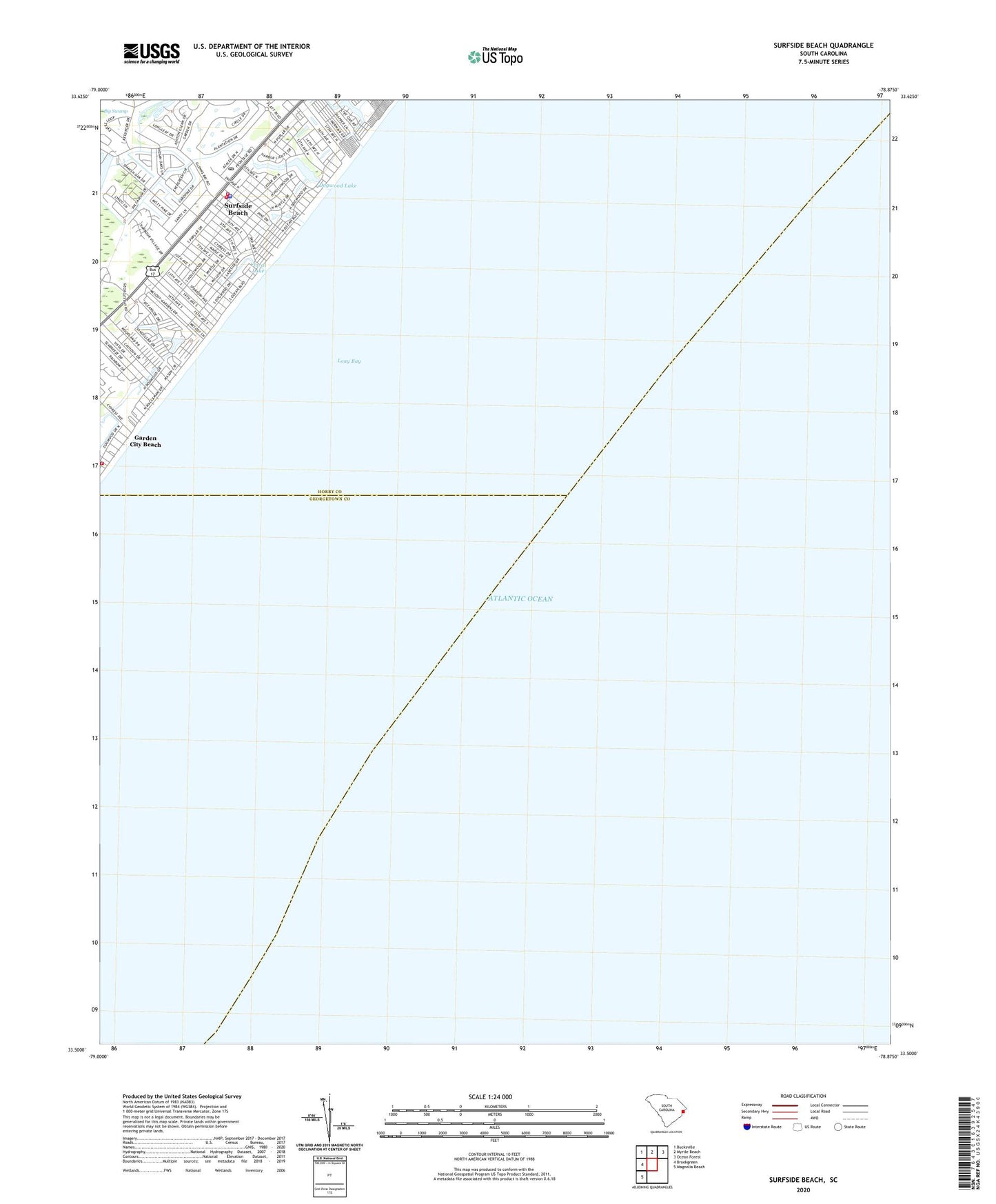
2024 topographic map quadrangle Surfside Beach in the state of South Carolina. Scale: 1:24000. Based on the newly updated USGS 7.5' US Topo map series, this map is in the following counties: Horry, Georgetown. The map contains contour data, water features, and other items you are used to seeing on USGS maps, but also has updated roads and other features. This is the next generation of topographic maps. Printed on high-quality waterproof paper with UV fade-resistant inks.
Quads adjacent to this one:
West: Brookgreen
Northwest: Bucksville
North: Myrtle Beach
Northeast: Ocean Forest
Southwest: Magnolia Beach
This map covers the same area as the classic USGS quad with code o33078e8.
Contains the following named places: Caropine, Deer Track Golf Club, Dogwood Lake, Episcopal Church of the Resurrection, First Baptist Church of Surfside, Floral Lake, Garden City Baptist Church, Grand Strand Tennis Club, Heron Point Golf Club, Horry County Fire Department Surfside, Horry County Memorial Library Surfside Branch, Indian Wells Golf Club, Indigo Creek Golf Club, Long Bay, Longleaf, Murrells Inlet Fire Department Station 77, Ocean Lakes Family Campground, Oceanside Village, Seacroft, Surf Pines, Surfside Beach, Surfside Beach Fire Department Surfside Beach, Surfside Beach Police Department, Surfside Beach Post Office, Surfside Beach Town Hall, Surfside Fishing Pier, Town of Surfside Beach