
MyTopo
Yemassee South Carolina US Topo Map
Couldn't load pickup availability
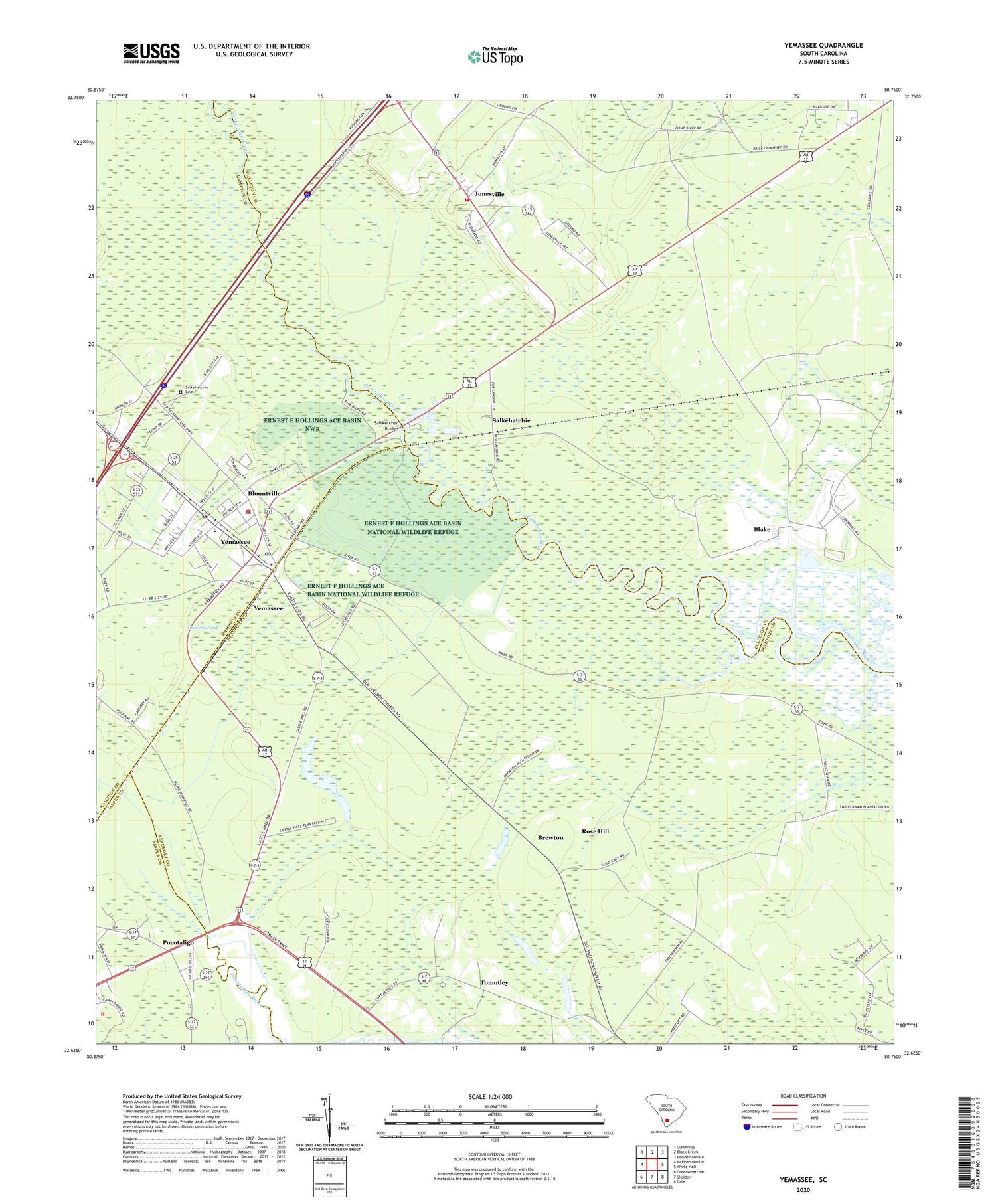
2020 topographic map quadrangle Yemassee in the state of South Carolina. Scale: 1:24000. Based on the newly updated USGS 7.5' US Topo map series, this map is in the following counties: Beaufort, Colleton, Hampton, Jasper. The map contains contour data, water features, and other items you are used to seeing on USGS maps, but also has updated roads and other features. This is the next generation of topographic maps. Printed on high-quality waterproof paper with UV fade-resistant inks.
Quads adjacent to this one:
West: McPhersonville
Northwest: Cummings
North: Black Creek
Northeast: Hendersonville
East: White Hall
Southeast: Dale
South: Sheldon
Southwest: Coosawhatchie
Contains the following named places: Auld Brass Plantation, Bindon Plantation, Blake, Blake Siding, Blountville, Brewton, Brewton Plantation, Castle Hall Plantation, Cherokee Plantation, Cherokee School, Coe Plantation, Colleton Fire Department Station 13, Cotton Hall Plantation, Fennell Elementary School, Fort Balfour, Gregorie Pond, Jasper Fire Department Station 33, Jericho Plantation, Jones Chapel, Jonesville, Jonesville Elementary School, Mount Nebo Church, Mount Nevo Church, Pocotaligo, Pocotaligo Church, Pocotaligo School, Roadside School, Rose Hill, Salkehatchie, Salkehatchie Cemetery, Saltketcher Bridge, Thicken Ham Plantation, Tomotley, Yemassee, Yemassee Fire Department Station 70, Yemassee Police Department, Yemassee Post Office, Yemassee School, ZIP Code: 29945


