MyTopo
Alcester NE South Dakota US Topo Map
Couldn't load pickup availability
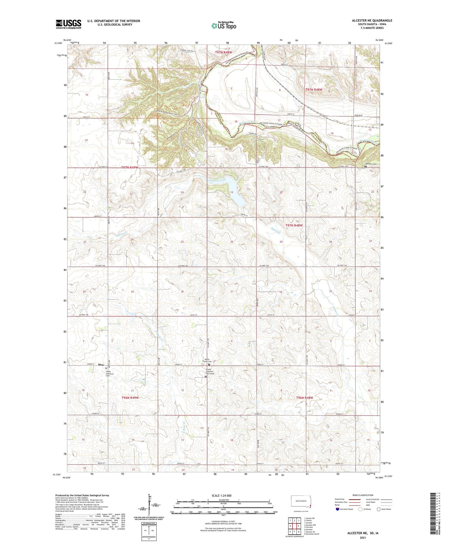
2021 topographic map quadrangle Alcester NE in the states of South Dakota, Iowa. Scale: 1:24000. Based on the newly updated USGS 7.5' US Topo map series, this map is in the following counties: Lincoln, Sioux. The map contains contour data, water features, and other items you are used to seeing on USGS maps, but also has updated roads and other features. This is the next generation of topographic maps. Printed on high-quality waterproof paper with UV fade-resistant inks.
Quads adjacent to this one:
West: Alcester NW
Northwest: Canton SW
North: Canton
Northeast: Inwood
East: Fairview
Southeast: Hawarden North
South: Alcester SE
Southwest: Alcester
Contains the following named places: Bethany Cemetery, Fairview Center School, Jensvold School, Lands Lutheran Cemetery, Moe, Moe School, Newton Hills State Park, North Trinity Cemetery, Pattee Creek Flood Control Dam, Sargeant Creek, Township of Eden, Township of Fairview, Trinity Church, Trinity Lutheran Cemetery South, Valley View Farms, ZIP Code: 57027