MyTopo
Betts South Dakota US Topo Map
Couldn't load pickup availability
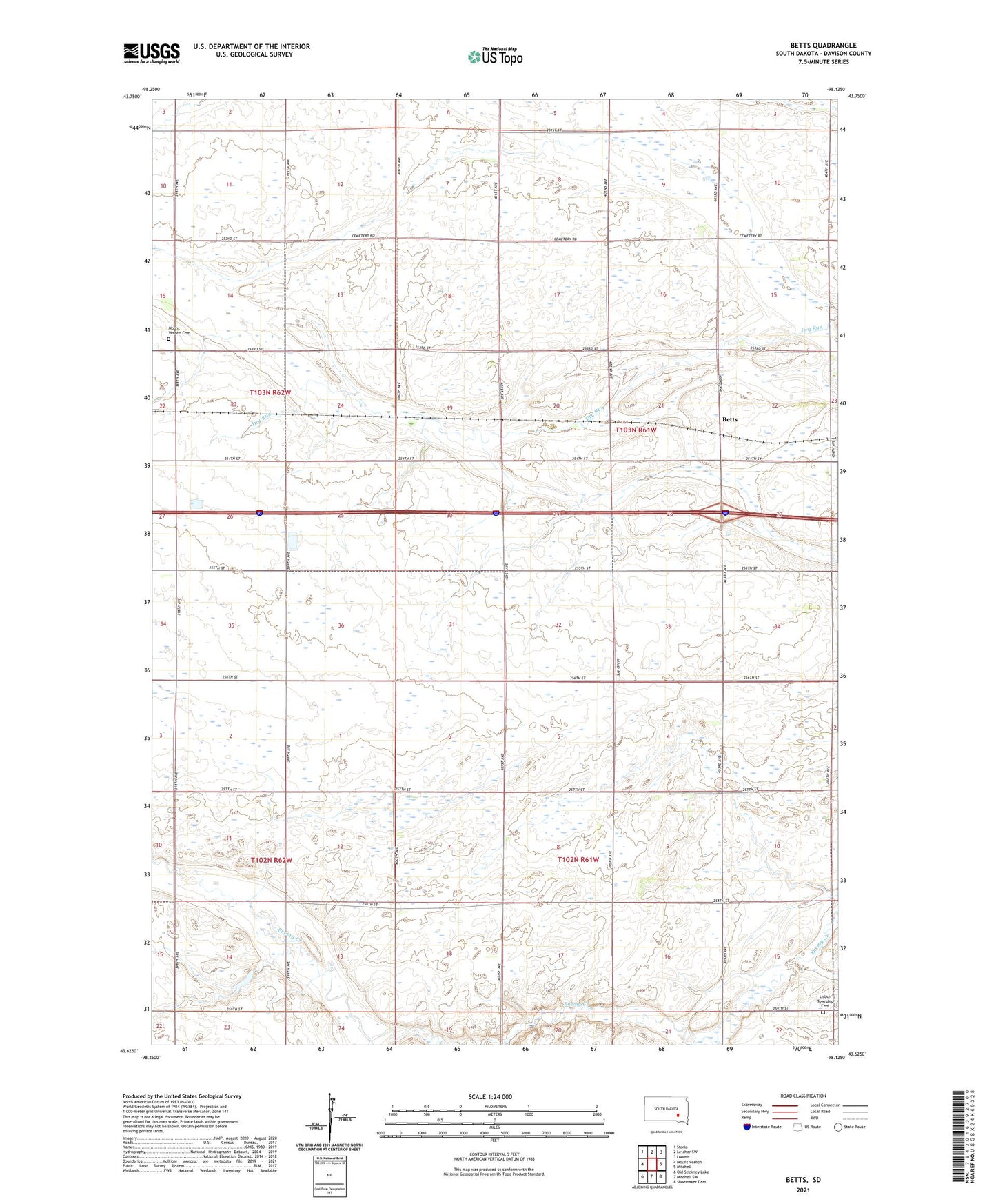
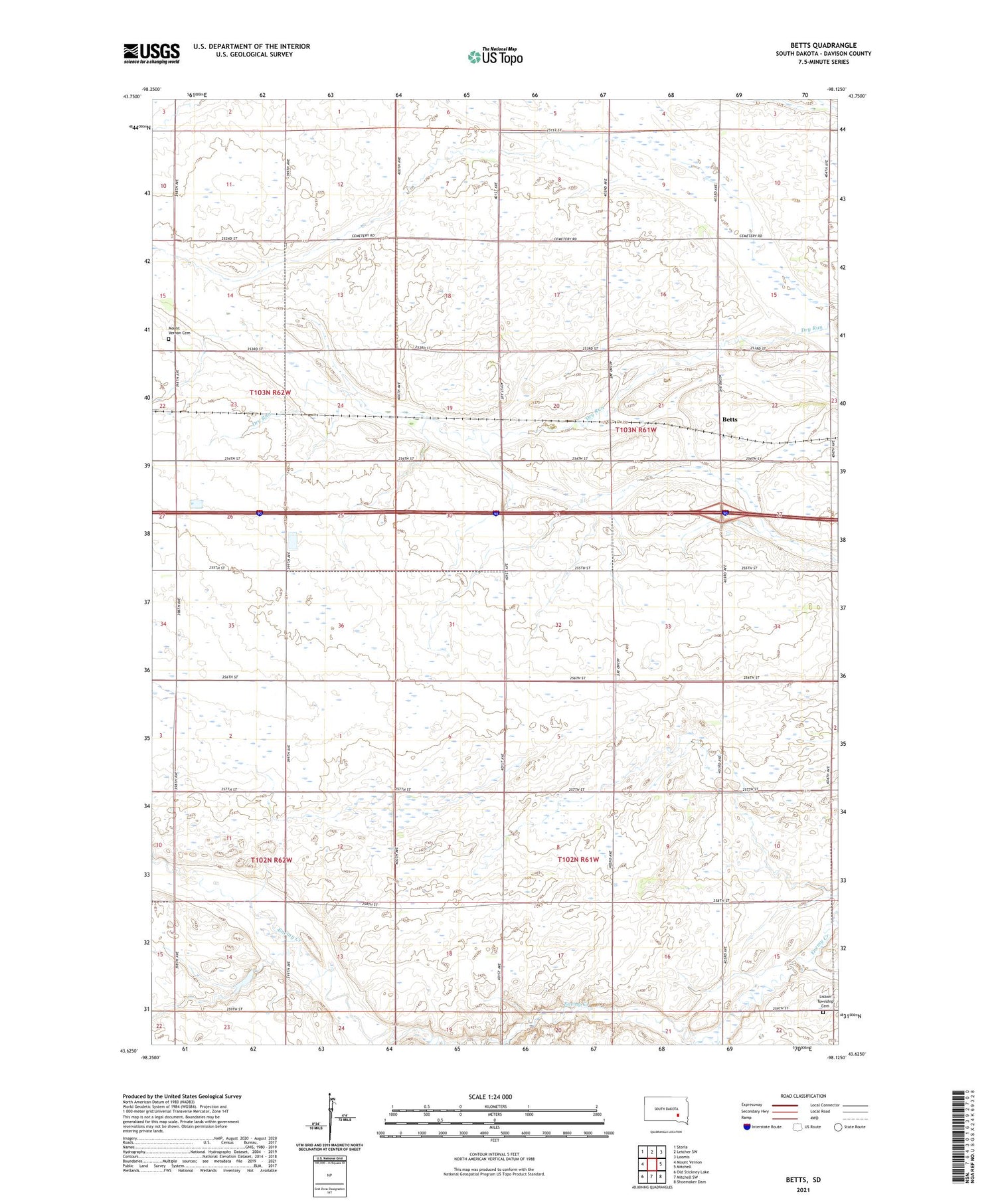
2021 topographic map quadrangle Betts in the state of South Dakota. Scale: 1:24000. Based on the newly updated USGS 7.5' US Topo map series, this map is in the following counties: Davison. The map contains contour data, water features, and other items you are used to seeing on USGS maps, but also has updated roads and other features. This is the next generation of topographic maps. Printed on high-quality waterproof paper with UV fade-resistant inks.
Quads adjacent to this one:
West: Mount Vernon
Northwest: Storla
North: Letcher SW
Northeast: Loomis
East: Mitchell
Southeast: Shoemaker Dam
South: Mitchell SW
Southwest: Old Stickney Lake
Contains the following named places: Betts, Beulah Township Hall, Davison County, Hubbard Slough State Public Shooting Area, Lisbon Township Cemetery, Mount Vernon Cemetery, Township of Beulah, Township of Lisbon