MyTopo
Loomis South Dakota US Topo Map
Couldn't load pickup availability
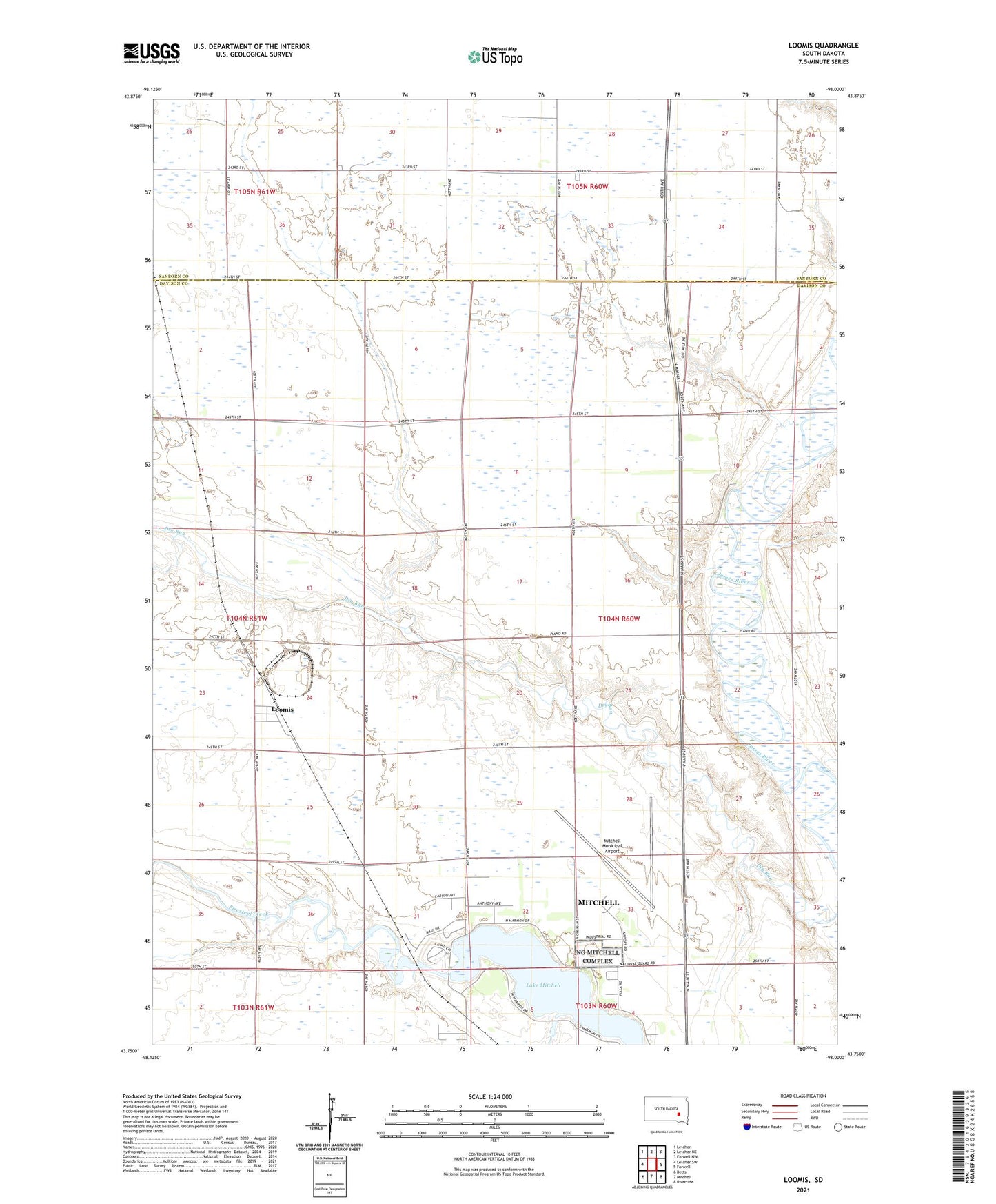
2021 topographic map quadrangle Loomis in the state of South Dakota. Scale: 1:24000. Based on the newly updated USGS 7.5' US Topo map series, this map is in the following counties: Davison, Sanborn. The map contains contour data, water features, and other items you are used to seeing on USGS maps, but also has updated roads and other features. This is the next generation of topographic maps. Printed on high-quality waterproof paper with UV fade-resistant inks.
Quads adjacent to this one:
West: Letcher SW
Northwest: Letcher
North: Letcher NE
Northeast: Farwell NW
East: Farwell
Southeast: Riverside
South: Mitchell
Southwest: Betts
This map covers the same area as the classic USGS quad with code o43098g1.
Contains the following named places: Blanchard School, DeWitt, Garfield School, Goodwin School, Jefferson School, Lake Mitchell, Lincoln School, Loomis, Loomis Census Designated Place, Loomis School, Mitchell Army Air Field, Mitchell Municipal Airport, Roosevelt School, Starlite Drive-In, Titus School, Township of Perry, Washington School