MyTopo
Shoemaker Dam South Dakota US Topo Map
Couldn't load pickup availability
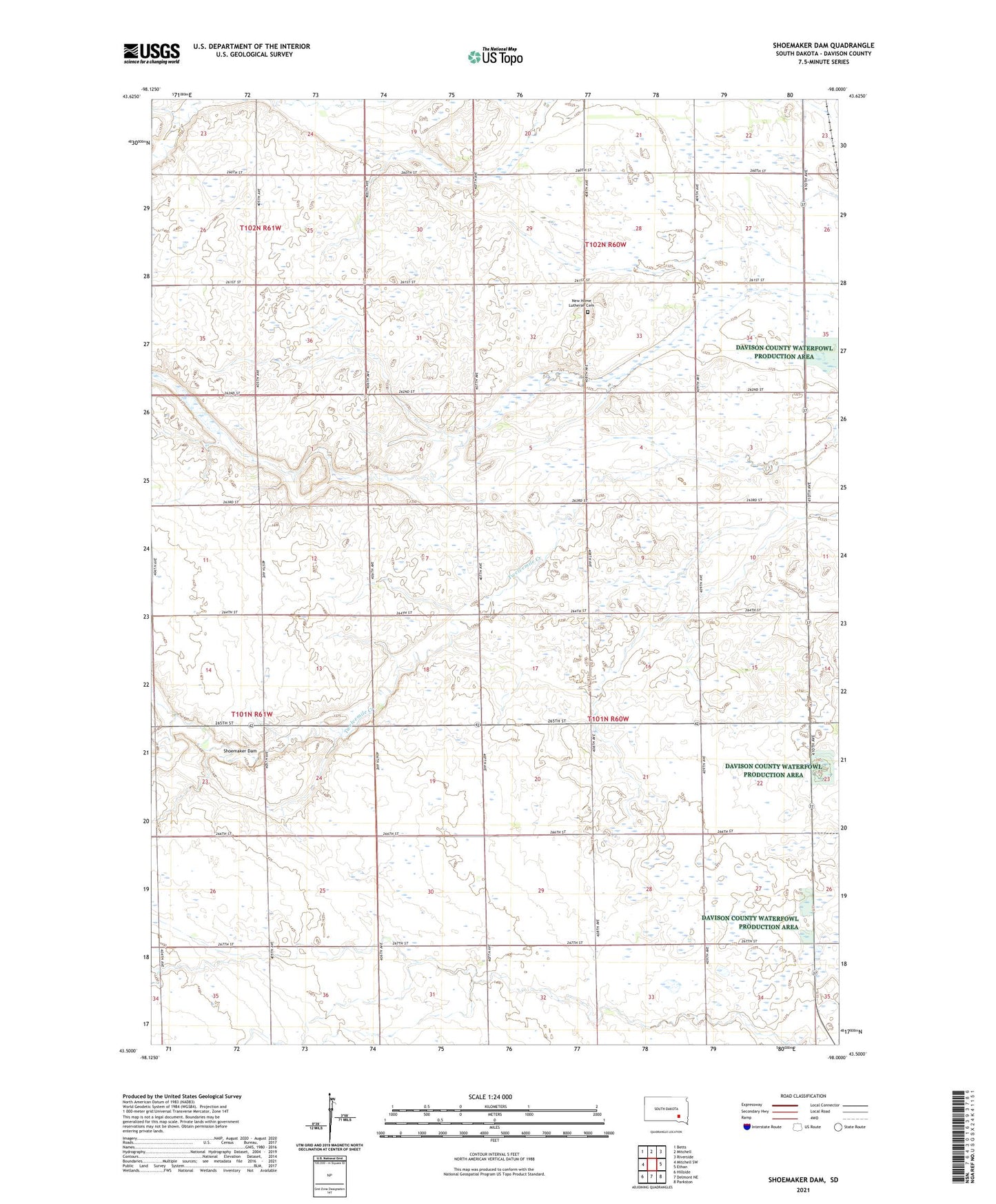
2021 topographic map quadrangle Shoemaker Dam in the state of South Dakota. Scale: 1:24000. Based on the newly updated USGS 7.5' US Topo map series, this map is in the following counties: Davison. The map contains contour data, water features, and other items you are used to seeing on USGS maps, but also has updated roads and other features. This is the next generation of topographic maps. Printed on high-quality waterproof paper with UV fade-resistant inks.
Quads adjacent to this one:
West: Mitchell SW
Northwest: Betts
North: Mitchell
Northeast: Riverside
East: Ethan
Southeast: Parkston
South: Delmont NE
Southwest: Hillside
This map covers the same area as the classic USGS quad with code o43098e1.
Contains the following named places: Davison County Waterfowl Production Area, New Home Lutheran Cemetery, North Fork Twelvemile Creek, Prosper Townhall, Rome Townhall, Shoemaker Dam, Township of Rome