MyTopo
Crystal Lake South Dakota US Topo Map
Couldn't load pickup availability
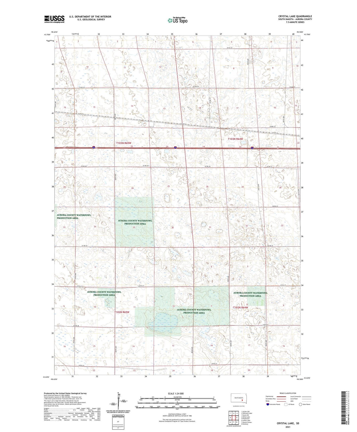
2021 topographic map quadrangle Crystal Lake in the state of South Dakota. Scale: 1:24000. Based on the newly updated USGS 7.5' US Topo map series, this map is in the following counties: Aurora. The map contains contour data, water features, and other items you are used to seeing on USGS maps, but also has updated roads and other features. This is the next generation of topographic maps. Printed on high-quality waterproof paper with UV fade-resistant inks.
Quads adjacent to this one:
West: White Lake
Northwest: Archer Hill
North: Wilmarth Lake
Northeast: Storla SW
East: Plankinton
Southeast: Stickney
South: Aurora Center
Southwest: Laffey Lake
This map covers the same area as the classic USGS quad with code o43098f5.
Contains the following named places: Aurora County, Aurora County Waterfowl Production Area, Crystal Lake, Crystal Lake State Public Shooting Area, Genes Spray Strip, Township of Crystal Lake, Township of Eureka, Township of Plankinton