MyTopo
Herrick NE South Dakota US Topo Map
Couldn't load pickup availability
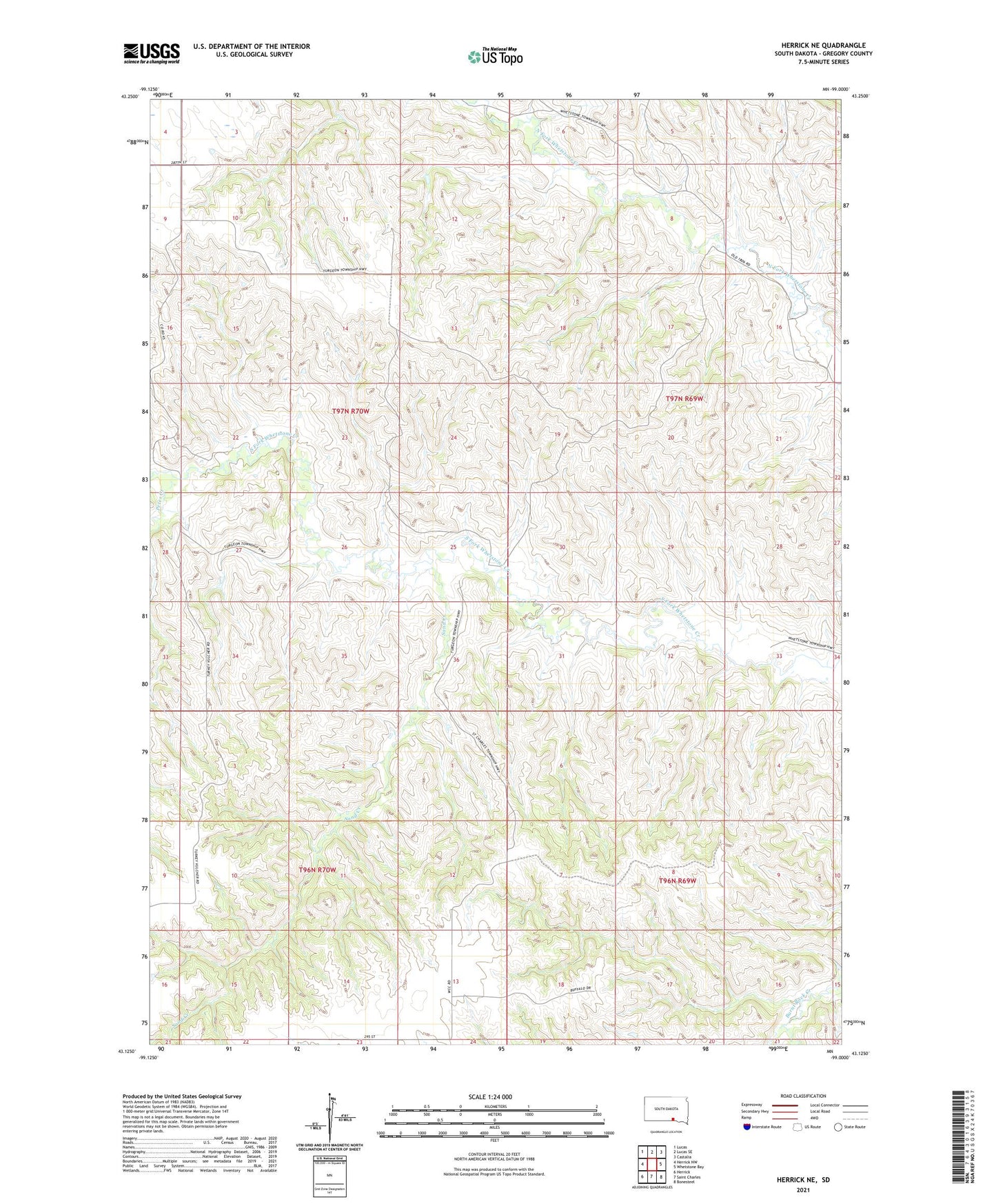
2021 topographic map quadrangle Herrick NE in the state of South Dakota. Scale: 1:24000. Based on the newly updated USGS 7.5' US Topo map series, this map is in the following counties: Gregory. The map contains contour data, water features, and other items you are used to seeing on USGS maps, but also has updated roads and other features. This is the next generation of topographic maps. Printed on high-quality waterproof paper with UV fade-resistant inks.
Quads adjacent to this one:
West: Herrick NW
Northwest: Lucas
North: Lucas SE
Northeast: Castalia
East: Whetstone Bay
Southeast: Bonesteel
South: Saint Charles
Southwest: Herrick
This map covers the same area as the classic USGS quad with code o43099b1.
Contains the following named places: Fred Kerner Number 1 Dam, Hornbeck School, Petes Creek, Sand Creek, Township of Turgeon, Unorganized Territory of East Gregory