MyTopo
Ideal NE South Dakota US Topo Map
Couldn't load pickup availability
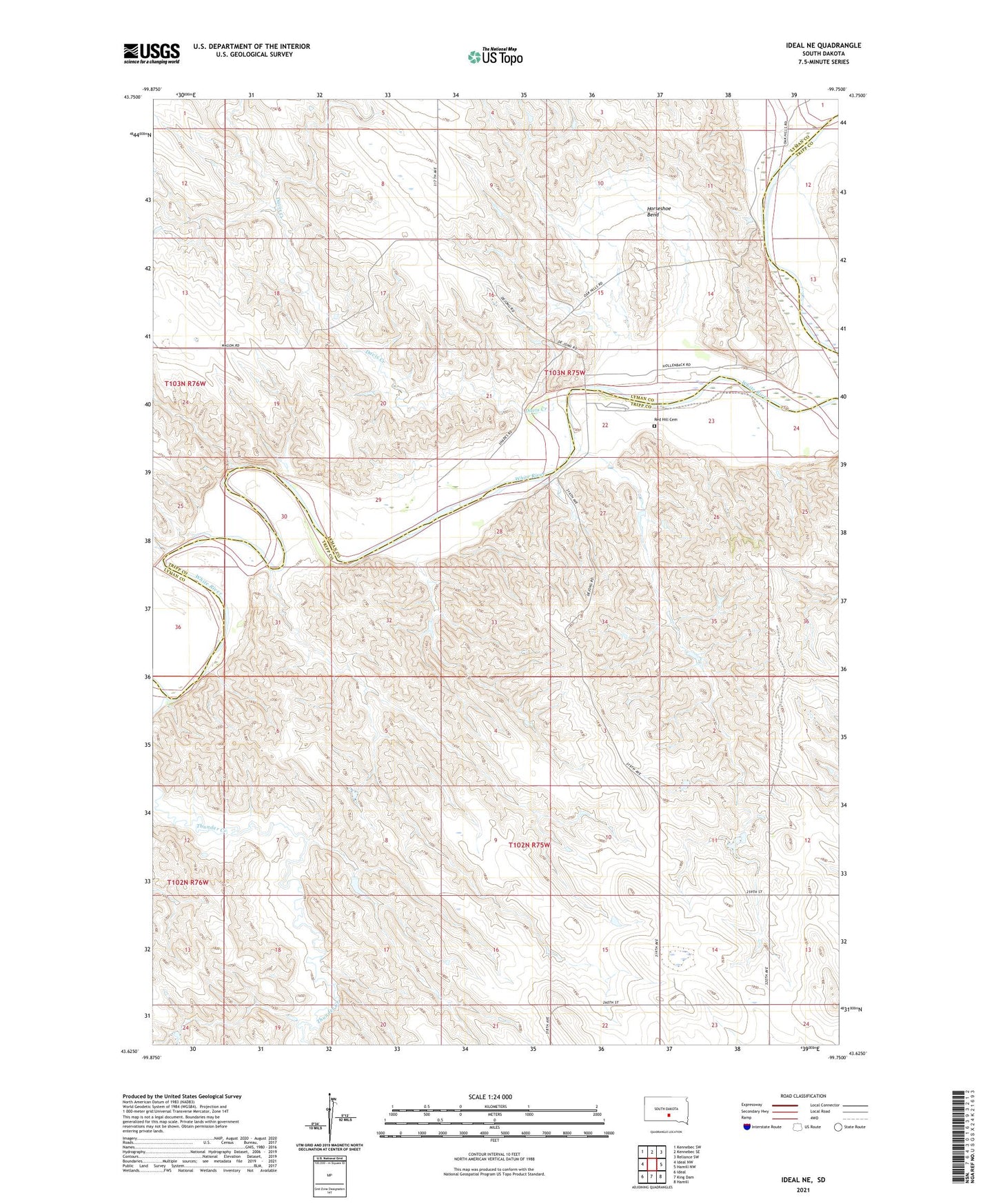
2021 topographic map quadrangle Ideal NE in the state of South Dakota. Scale: 1:24000. Based on the newly updated USGS 7.5' US Topo map series, this map is in the following counties: Tripp, Lyman. The map contains contour data, water features, and other items you are used to seeing on USGS maps, but also has updated roads and other features. This is the next generation of topographic maps. Printed on high-quality waterproof paper with UV fade-resistant inks.
Quads adjacent to this one:
West: Ideal NW
Northwest: Kennebec SW
North: Kennebec SE
Northeast: Reliance SW
East: Hamill NW
Southeast: Hamill
South: King Dam
Southwest: Ideal
This map covers the same area as the classic USGS quad with code o43099f7.
Contains the following named places: Davis Creek, DeJong Brothers Number 2 Dam, DeJong Brothers Number 3 Dam, DeJong Brothers Number 4 Dam, DeJong Brothers Number 5 Dam, Frantz Farms 3 Dam, Horseshoe Bend, Houston School, Jim Schuyler Number 1 Dam, Lone Star School, Red Hill Cemetery, Thunder Creek, Township of Lone Star