MyTopo
Lesterville South Dakota US Topo Map
Couldn't load pickup availability
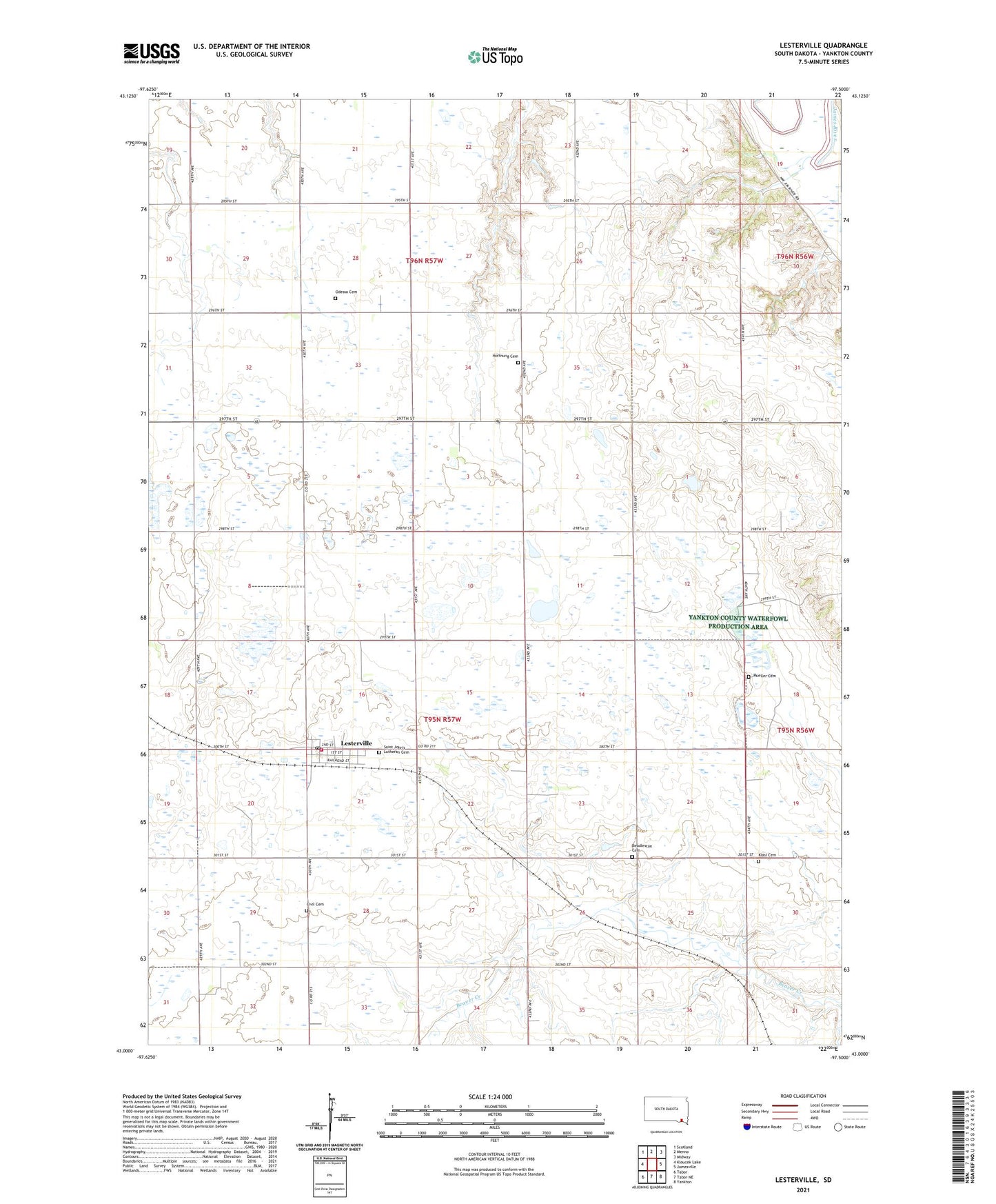
2021 topographic map quadrangle Lesterville in the state of South Dakota. Scale: 1:24000. Based on the newly updated USGS 7.5' US Topo map series, this map is in the following counties: Yankton. The map contains contour data, water features, and other items you are used to seeing on USGS maps, but also has updated roads and other features. This is the next generation of topographic maps. Printed on high-quality waterproof paper with UV fade-resistant inks.
Quads adjacent to this one:
West: Kloucek Lake
Northwest: Scotland
North: Menno
Northeast: Midway
East: Jamesville
Southeast: Yankton
South: Tabor NE
Southwest: Tabor
This map covers the same area as the classic USGS quad with code o43097a5.
Contains the following named places: Beadleston Cemetery, Civil Cemetery, Hoffnung Cemetery, Klasi Cemetery, Lesterville, Lesterville Fire and Rescue, Lesterville Post Office, Mueller Cemetery, Odessa Cemetery, Saint John's Lutheran Cemetery, Town of Lesterville, Township of Lesterville, Unorganized Territory of West Yankton, ZIP Code: 57040