MyTopo
Richmond South Dakota US Topo Map
Couldn't load pickup availability
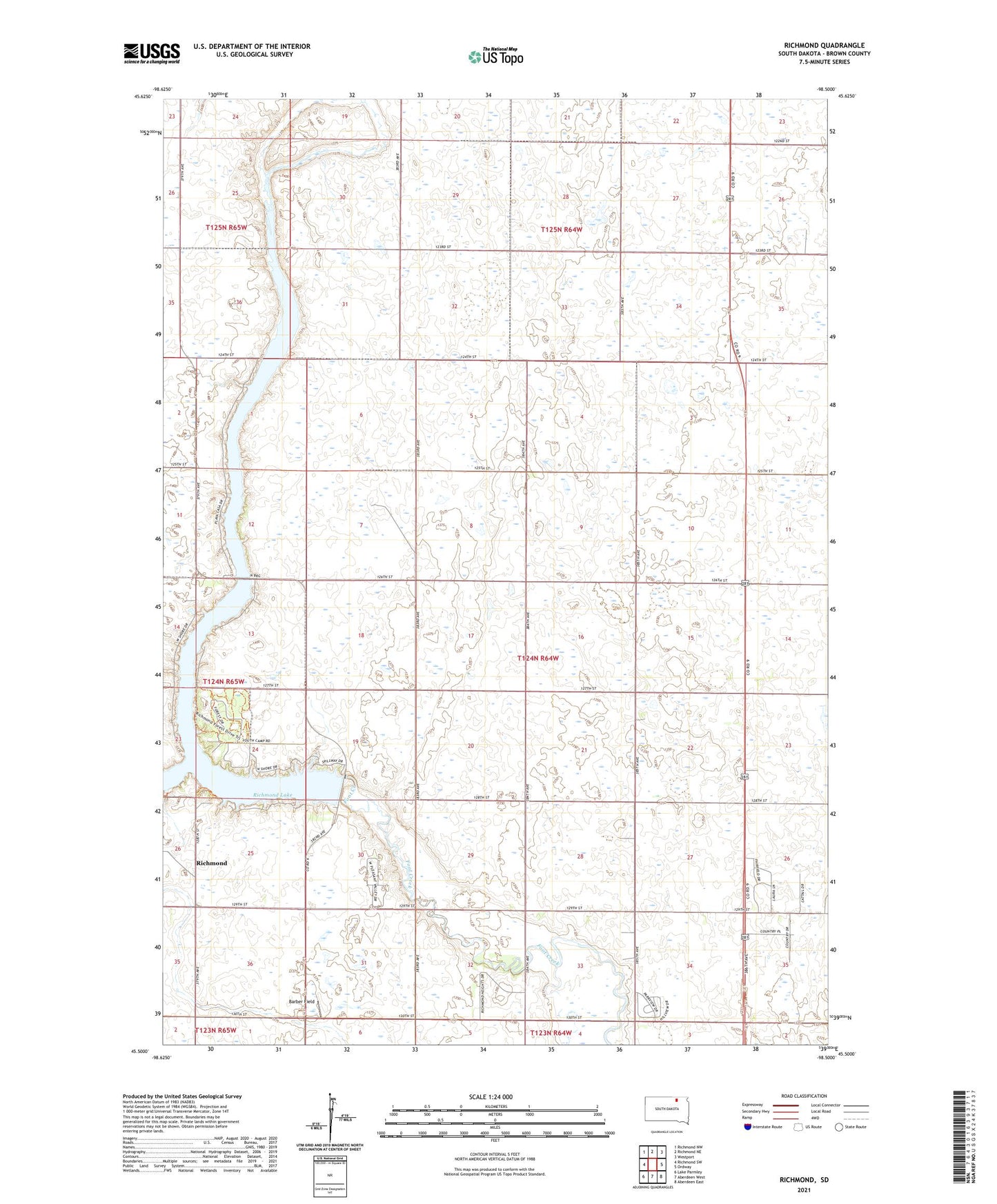
2021 topographic map quadrangle Richmond in the state of South Dakota. Scale: 1:24000. Based on the newly updated USGS 7.5' US Topo map series, this map is in the following counties: Brown. The map contains contour data, water features, and other items you are used to seeing on USGS maps, but also has updated roads and other features. This is the next generation of topographic maps. Printed on high-quality waterproof paper with UV fade-resistant inks.
Quads adjacent to this one:
West: Richmond SW
Northwest: Richmond NW
North: Richmond NE
Northeast: Westport
East: Ordway
Southeast: Aberdeen East
South: Aberdeen West
Southwest: Lake Parmley
Contains the following named places: Barber Field, Bieglers First Addition, Country Village Mobile Park, Fisher Estates, Gederos Estates, Pleasant Vally Development, Richfield Heights, Richmond, Richmond Dam, Richmond Heights, Richmond Lake, Richmond Lake Heights Development, Richmond Lake State Recreation Area, Township of Lincoln