MyTopo
Spring Creek South Dakota US Topo Map
Couldn't load pickup availability
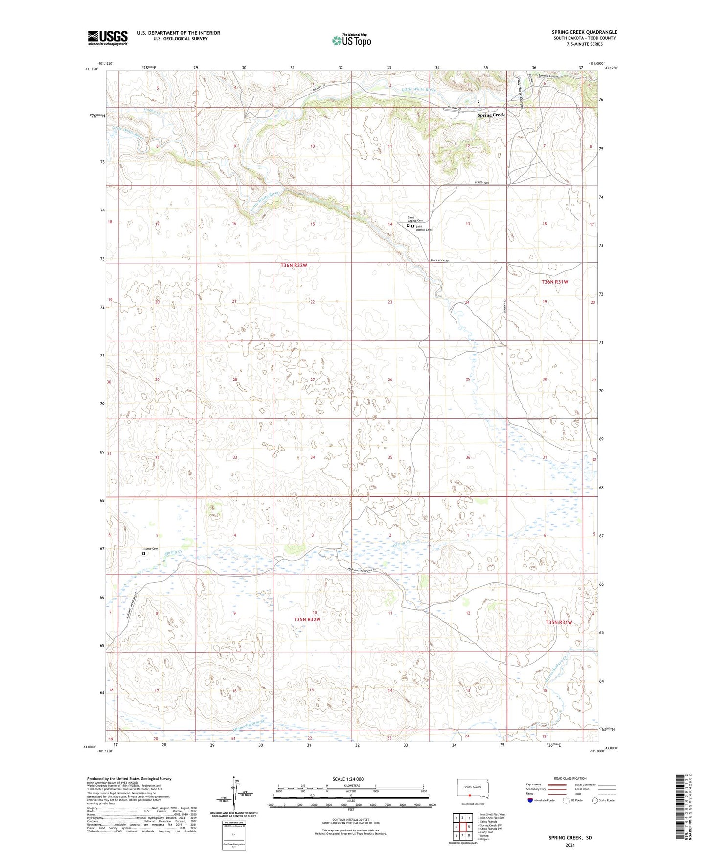
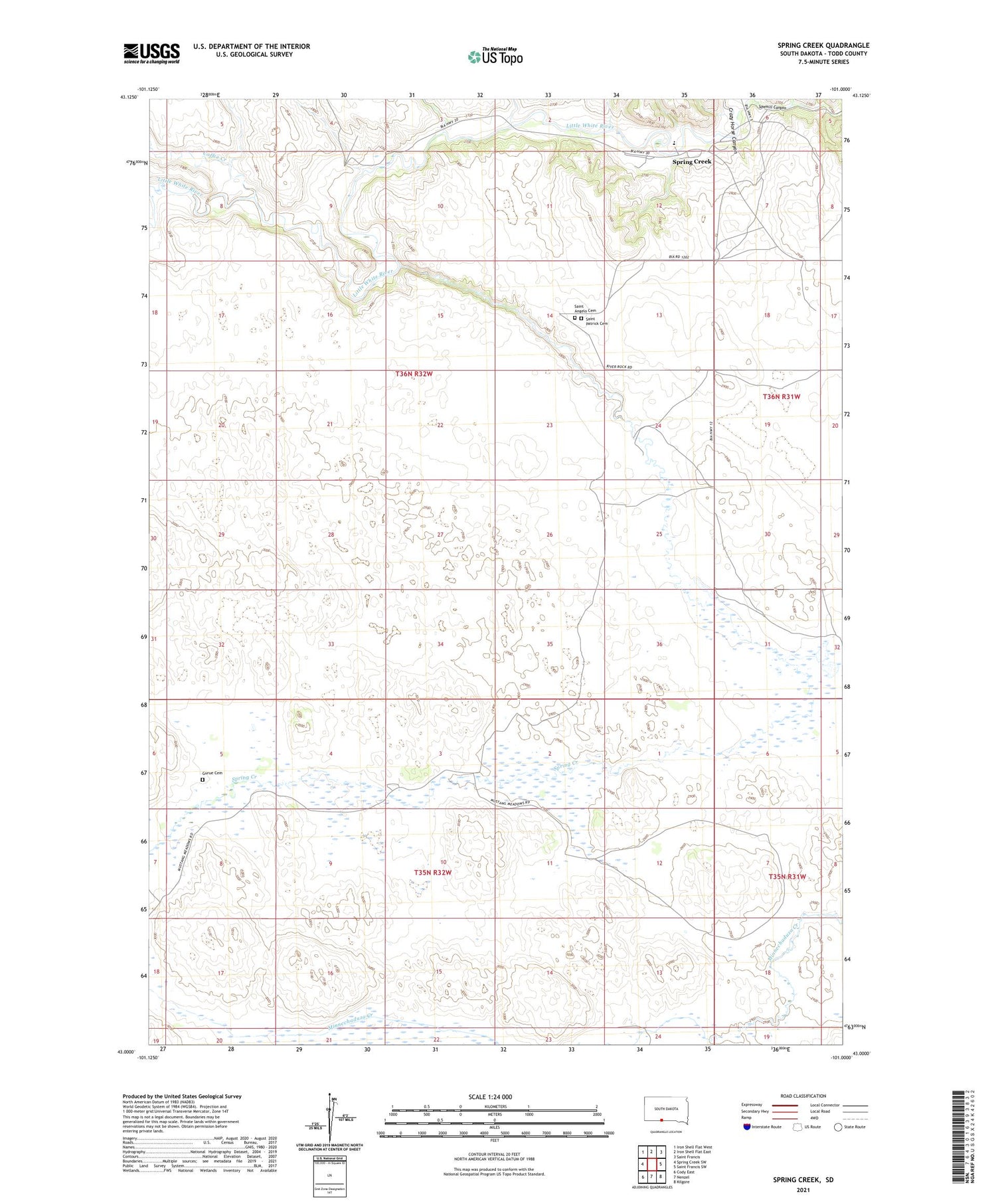
2021 topographic map quadrangle Spring Creek in the state of South Dakota. Scale: 1:24000. Based on the newly updated USGS 7.5' US Topo map series, this map is in the following counties: Todd. The map contains contour data, water features, and other items you are used to seeing on USGS maps, but also has updated roads and other features. This is the next generation of topographic maps. Printed on high-quality waterproof paper with UV fade-resistant inks.
Quads adjacent to this one:
West: Spring Creek SW
Northwest: Iron Shell Flat West
North: Iron Shell Flat East
Northeast: Saint Francis
East: Saint Francis SW
Southeast: Kilgore
South: Nenzel
Southwest: Cody East
Contains the following named places: Arnold Ranch, Coffee Creek, Gurue Cemetery, Saint Angelo Cemetery, Saint Patrick Cemetery, Sawmill Canyon, Spring Creek, Spring Creek Census Designated Place, Spring Creek Elementary School, Spring Creek Segment