MyTopo
Nenzel Nebraska US Topo Map
Couldn't load pickup availability
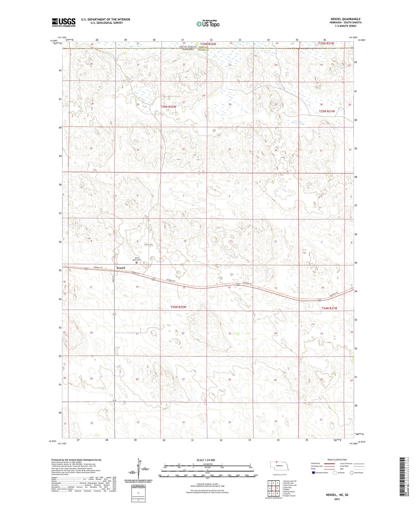
2021 topographic map quadrangle Nenzel in the state of Nebraska. Scale: 1:24000. Based on the newly updated USGS 7.5' US Topo map series, this map is in the following counties: Cherry, Todd. The map contains contour data, water features, and other items you are used to seeing on USGS maps, but also has updated roads and other features. This is the next generation of topographic maps. Printed on high-quality waterproof paper with UV fade-resistant inks.
Quads adjacent to this one:
West: Cody East
Northwest: Spring Creek SW
North: Spring Creek
Northeast: Saint Francis SW
East: Kilgore
Southeast: Cooper Canyon
South: Cody SE
Southwest: Spring Canyon
Contains the following named places: Adamson Ranch, Grow Ranch, Krajeski Ranch, Luther Ranch, Nenzel, Nenzel Election Precinct, Nenzel Post Office, Saint Marys Cemetery, Saint Marys Church, Schmit Ranch, Stasch Brothers Ranch, Village of Nenzel