MyTopo
Cody East Nebraska US Topo Map
Couldn't load pickup availability
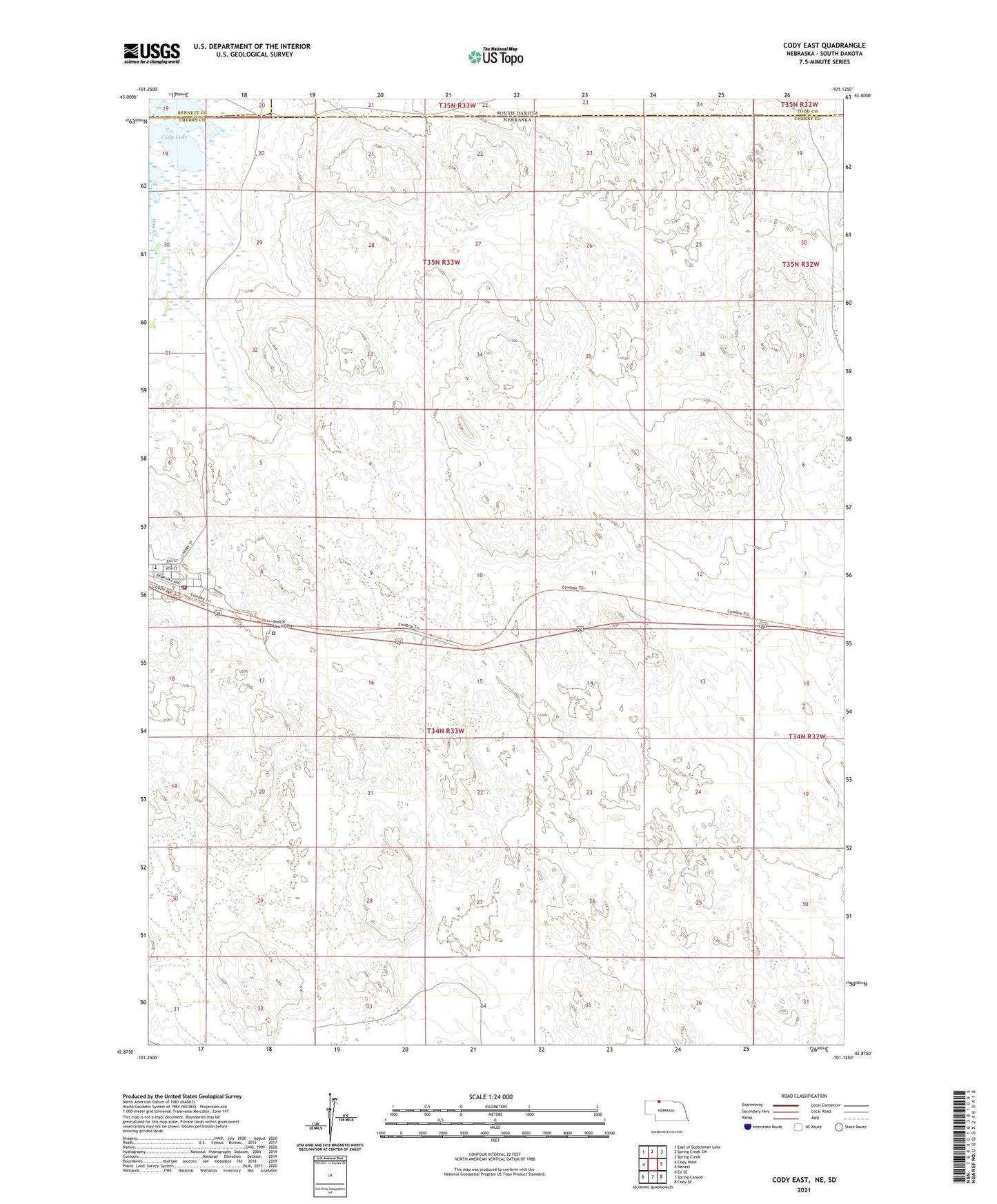
2021 topographic map quadrangle Cody East in the states of Nebraska, South Dakota. Scale: 1:24000. Based on the newly updated USGS 7.5' US Topo map series, this map is in the following counties: Cherry, Todd, Bennett. The map contains contour data, water features, and other items you are used to seeing on USGS maps, but also has updated roads and other features. This is the next generation of topographic maps. Printed on high-quality waterproof paper with UV fade-resistant inks.
Quads adjacent to this one:
West: Cody West
Northwest: East of Scotchman Lake
North: Spring Creek SW
Northeast: Spring Creek
East: Nenzel
Southeast: Cody SE
South: Spring Canyon
Southwest: Eli SE
Contains the following named places: ABA Ranch, Cody, Cody City Park, Cody City Park Campground, Cody Lake, Cody Police Department, Cody Post Office, Cody Volunteer Fire Department, Cody-Kilgore High School, Goodwin Ranch, Lindberg Ranch, Metz Ranch, Prairie Lawn Cemetery, United Methodist Church, Village of Cody, Yancey Ranch