MyTopo
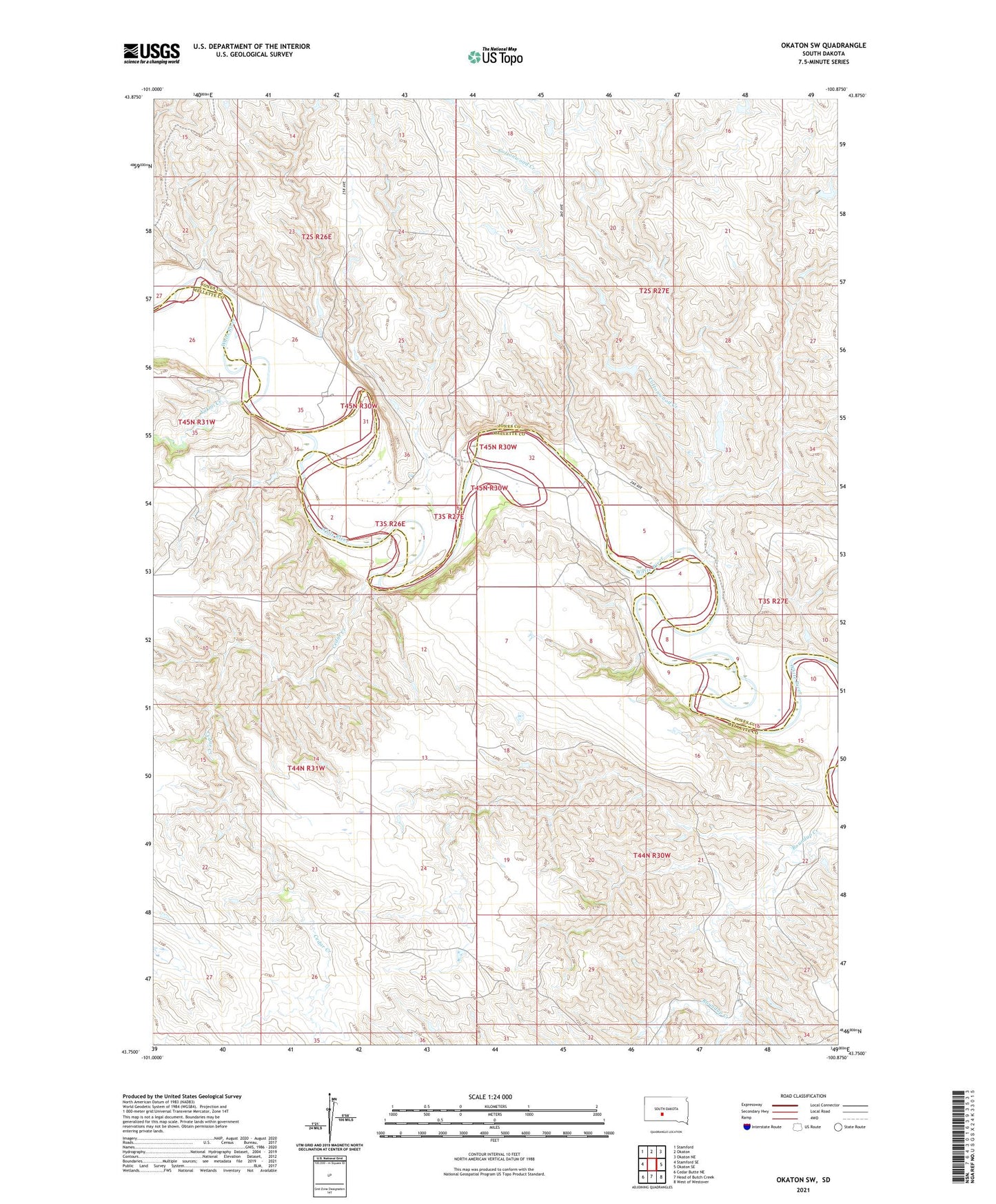
Okaton SW South Dakota US Topo Map
Couldn't load pickup availability
2021 topographic map quadrangle Okaton SW in the state of South Dakota. Scale: 1:24000. Based on the newly updated USGS 7.5' US Topo map series, this map is in the following counties: Mellette, Jones. The map contains contour data, water features, and other items you are used to seeing on USGS maps, but also has updated roads and other features. This is the next generation of topographic maps. Printed on high-quality waterproof paper with UV fade-resistant inks.
Quads adjacent to this one:
West: Stamford SE
Northwest: Stamford
North: Okaton
Northeast: Okaton NE
East: Okaton SE
Southeast: West of Westover
South: Head of Butch Creek
Southwest: Cedar Butte NE
This map covers the same area as the classic USGS quad with code o43100g8.
Contains the following named places: Blom Ranch, Brost Number 7 Dam, Brost Number 8 Dam, Brost Number 9 Dam, Brun Skill Number 1 Dam, Cedar Creek, Cottonwood Creek, Daum Brothers Dam, Daum Brothers Number 2 Dam, Daum Brothers Number 3 Dam, Daum Brothers Number 4 Dam, Esmay and Sandy Number 1 Dam, Esmay and Sandy Number 3 Dam, Graham Ranch, Leek Ranch, Okaton Census Designated Place, Peterson Ranch, Sandy Number 1 Dam, Sandy Ranch, Schwartz Ranch, Smith and Brost Number 1 Dam, Township of Grandview, Township of Okaton, Wedean Number 1 Dam, Wedean Number 2 Dam, Wedean Number 3 Dam, Wedean Ranch, Yukmi Creek