MyTopo
Two Top Butte SE South Dakota US Topo Map
Couldn't load pickup availability
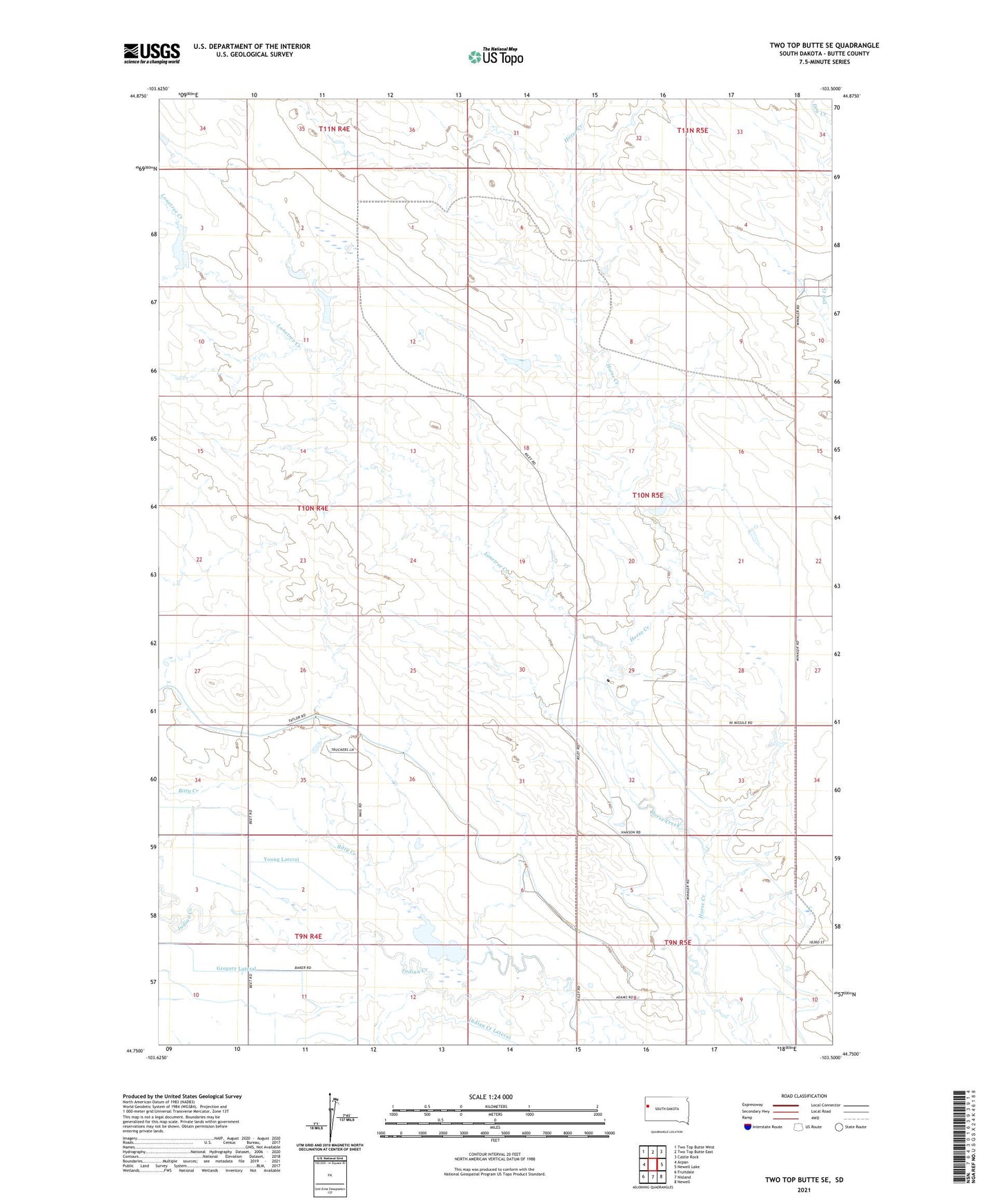
2021 topographic map quadrangle Two Top Butte SE in the state of South Dakota. Scale: 1:24000. Based on the newly updated USGS 7.5' US Topo map series, this map is in the following counties: Butte. The map contains contour data, water features, and other items you are used to seeing on USGS maps, but also has updated roads and other features. This is the next generation of topographic maps. Printed on high-quality waterproof paper with UV fade-resistant inks.
Quads adjacent to this one:
West: Arpan
Northwest: Two Top Butte West
North: Two Top Butte East
Northeast: Castle Rock
East: Newell Lake
Southeast: Newell
South: Nisland
Southwest: Fruitdale
Contains the following named places: Bitty Creek, Howard Schmele Dam Number 1, Indian Creek Lateral, Kennedy School, Lonetree Creek, Persche Ranch, Stoughton School, Winkler Ranch, Winkler School, ZIP Code: 57762