MyTopo
Victor South Dakota US Topo Map
Couldn't load pickup availability
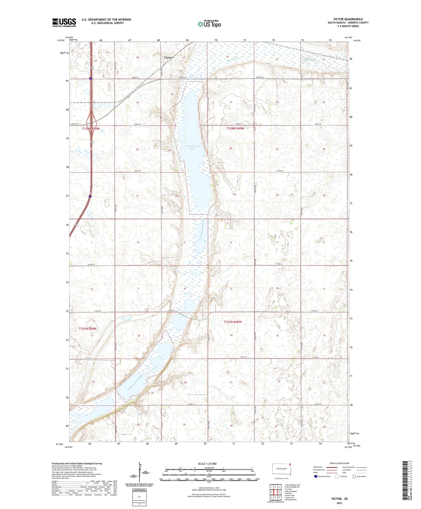
2021 topographic map quadrangle Victor in the state of South Dakota. Scale: 1:24000. Based on the newly updated USGS 7.5' US Topo map series, this map is in the following counties: Roberts. The map contains contour data, water features, and other items you are used to seeing on USGS maps, but also has updated roads and other features. This is the next generation of topographic maps. Printed on high-quality waterproof paper with UV fade-resistant inks.
Quads adjacent to this one:
West: New Effington
Northwest: New Effington NW
North: New Effington NE
Northeast: La Mars
East: Rosholt
Southeast: Beardsley NW
South: Peever NE
Southwest: Peever NW
This map covers the same area as the classic USGS quad with code o45096g7.
Contains the following named places: Bratten Area State Wildlife Management Area, Cottonwood Lake, Cottonwood Lake State Wildlife Management Area, Crawford, Crawford State Wildlife Management Area, Dry Run Number 2 State Wildlife Management Area, Dry Run Number 3 State Wildlife Management Area, School Number 1, School Number 4, School Number 8, Victor, Victor State Wildlife Management Area, Winans, Winans School