MyTopo
Burns Tennessee US Topo Map
Couldn't load pickup availability
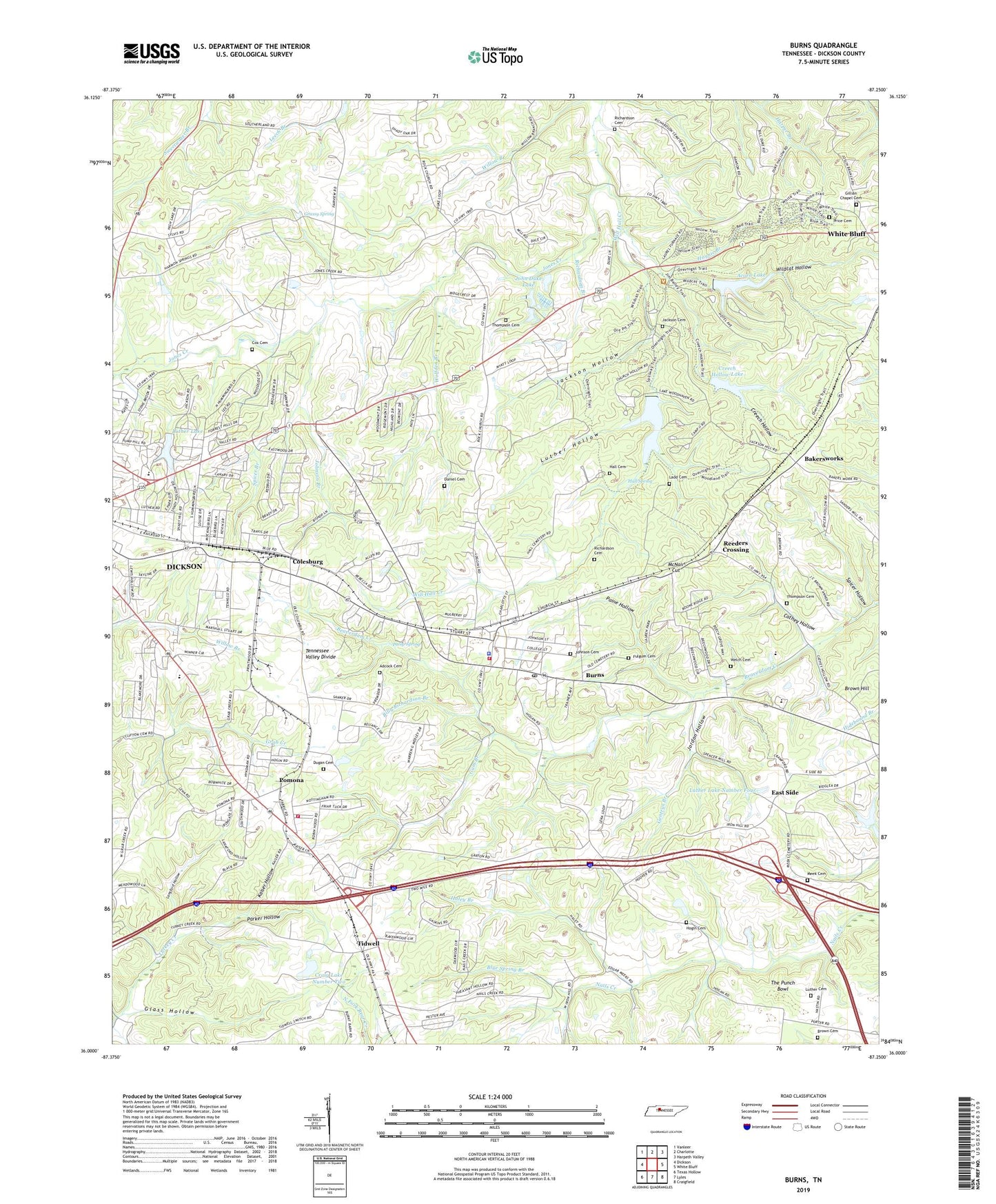
2022 topographic map quadrangle Burns in the state of Tennessee. Scale: 1:24000. Based on the newly updated USGS 7.5' US Topo map series, this map is in the following counties: Dickson. The map contains contour data, water features, and other items you are used to seeing on USGS maps, but also has updated roads and other features. This is the next generation of topographic maps. Printed on high-quality waterproof paper with UV fade-resistant inks.
Quads adjacent to this one:
West: Dickson
Northwest: Vanleer
North: Charlotte
Northeast: Harpeth Valley
East: White Bluff
Southeast: Craigfield
South: Lyles
Southwest: Texas Hollow
This map covers the same area as the classic USGS quad with code o36087a3.
Contains the following named places: Acorn Hill, Acorn Hill Church, Acorn Lake, Acorn Lake Dam, Adcock Cemetery, Bakers School, Bakersworks, Billy Richardson Branch, Blue Spring Branch, Broadway Drive-In, Brown Cemetery, Brown Hill, Burns, Burns Elementary School, Burns Fire Department, Burns Police Department, Burns Post Office, Burns-White Bluff Division, Camp Ground Church, Cathey Hollow, City of Dickson, Colesburg, Colesburg Church of Christ, Colesburg School, Commissioner District 10, Commissioner District 11, Commissioner District 6, Commissioner District 7, Cox Cemetery, Craig Lake Dam Number Two, Craig Lake Number Two, Creech Hollow, Creech Hollow Lake, Creech Hollow Lake Dam, Daniel Cemetery, Dickson County Industrial Park, Dickson Fire Department Station 2, Dugan Cemetery, Duke Quarry, Dukes Mill, East Side, East Side High School, Eastside Baptist Church, Fairview Baptist Church, Fairview School, Faith Freewill Baptist Church, First Call Ambulance Service Dickson, Fulgum Cemetery, Gentry Park, Gentrys Branch, Gillian Chapel Cemetery, Gilliland Chapel, Glass Hollow, Grassy Spring, Gum Branch, Haley Branch, Hall Cemetery, Hall Spring, Happy Valley School, Haynie Branch, Herbertson School, Hogin Cemetery, Hoover Quarry, Jackson Cemetery, Jackson Hollow, John Duke Lake, John Duke Lake Dam, Johnson Branch, Johnson Cemetery, Jordon Hollow, Kaiser Hollow, Ladd Cemetery, Lake Woodhaven, Langford Hollow, Laurel Furnace, Laurel Furnace Mines, Luther Cemetery, Luther Hollow, Luther Lake, Luther Lake Dam Number One, Luther Lake Number Four, Luther Lake Number Four Dam, Luther Lake Number Two, Luther Lake Number Two Dam, Marvins Chapel, McNair Cut, Meeks Cemetery, Montgomery Bell Ore Banks, Montgomery Bell State Park, Old Ball Station, Paine Hollow, Parker Hollow, Pomona, Pomona Baptist Church, Pomona Church of Christ, Price Cemetery, Pump Spring, Reeders Crossing, Richardson Branch, Richardson Cemetery, Spicer Branch, Spicer Hollow, The Punch Bowl, Thompson Cemetery, Tidwell, Tidwell School, Town of Burns, Twin Lake, WDKN-AM (Dickson), Welch Cemetery, Wildcat Hollow, Will Hall Creek, Wolfden Branch, Woodhaven Lake Dam, WTNQ-FM (Dickson), ZIP Code: 37029