MyTopo
White Bluff Tennessee US Topo Map
Couldn't load pickup availability
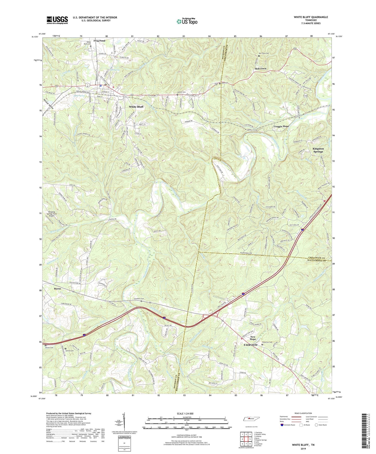
2022 topographic map quadrangle White Bluff in the state of Tennessee. Scale: 1:24000. Based on the newly updated USGS 7.5' US Topo map series, this map is in the following counties: Dickson, Cheatham, Williamson. The map contains contour data, water features, and other items you are used to seeing on USGS maps, but also has updated roads and other features. This is the next generation of topographic maps. Printed on high-quality waterproof paper with UV fade-resistant inks.
Quads adjacent to this one:
West: Burns
Northwest: Charlotte
North: Harpeth Valley
Northeast: Lillamay
East: Kingston Springs
Southeast: Fairview
South: Craigfield
Southwest: Lyles
This map covers the same area as the classic USGS quad with code o36087a2.
Contains the following named places: Ballard Spring Branch, Bar School, Beaverdam Creek, Becks Branch, Bell Town, Bell Town Cemetery, Belltown School, Bethany Hills Camp, Big Turnbull Creek, Brown Family Cemetery, Buck Spring, Carothers Cemetery, Commissioner District 12, Craggie Hope, Craggie Hope United Methodist Church, Dripping Springs Farm Airport, Fairview Fire Department Station 2, First Baptist Church, Fivemile Creek, Gin Branch, Goslin Branch, Groves Branch, Herron Branch, Hidebound Branch, Hutton Cemetery, Huttons Chapel, Huttons Station, Indian Camp Branch, Interstate West, Jackson Furnace, Jacksons Temple, Johnson School, Kingston Springs Fire Department Station 3, Little Turnbull Creek, Luther Lake Dam Number Three, Luther Lake Number Three, Martin Garton Cemetery, Nails Creek, New Hope, New Hope School, Olds Cemetery, Opossum School, Periwinkle Branch, Pinkerton Cemetery, Poplar Spring, Raccoon Branch, Rock Branch, Stillhouse Branch, Sullivan Branch, Talley Branch, Town of White Bluff, Turnbull Creek, Turnbull Forge, WBLP-AM (Fairview), White Bluff, White Bluff Cemetery, White Bluff Church of Christ, White Bluff Elementary School, White Bluff Fire Department, White Bluff Forge, White Bluff Police Department, White Bluff Post Office, White Bluff United Methodist Church, Whites School, William James Junior High School


