MyTopo
Camden Tennessee US Topo Map
Couldn't load pickup availability
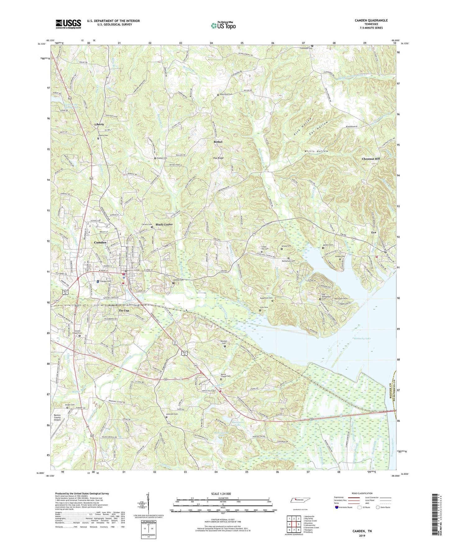
2019 topographic map quadrangle Camden in the state of Tennessee. Scale: 1:24000. Based on the newly updated USGS 7.5' US Topo map series, this map is in the following counties: Benton, Humphreys. The map contains contour data, water features, and other items you are used to seeing on USGS maps, but also has updated roads and other features. This is the next generation of topographic maps. Printed on high-quality waterproof paper with UV fade-resistant inks.
Quads adjacent to this one:
West: Bruceton
Northwest: Manleyville
North: Big Sandy
Northeast: Harmon Creek
East: Johnsonville
Southeast: Hustburg
South: Rockport
Southwest: Seventeen Creek
Contains the following named places: Arhold Cemetery, Arnold Branch, Arnold Cemetery, Beaverdam Church, Beaverdam Creek, Beaverdam Creek Cabin Area, Beaverdam Valley, Benton County, Benton County Airport, Benton County Career and Technical Center, Benton County Courthouse, Benton County Fairgrounds, Benton County Farm, Benton County Rescue Squad, Benton County Sheriff's Department, Bethel, Bethel Church, Big Slough, Black Center, Blackburn Dam, Blackburn Lake, Blanchard Cemetery, Briarwood Middle School, Burnside Creek, Burrell Branch, Butterworth Lake, Butterworth Lake Dam, Calvary Cemetery, Camden, Camden Cemetery, Camden City Hall, Camden Dewatering Area, Camden Division, Camden Elementary School, Camden Fire Department, Camden General Hospital, Camden Police Department, Camden Post Office, Camden Wildlife Management Area, Cane Creek, Cat Hollow, Cedar Hollow, Cedar Lake Number One, Central High School, Chalk Hill Baptist Church, Chalk Hill Cemetery, Charlie Creek, Chestnut Hill, Chestnut Hill Church, City of Camden, Civilian Conservation Corps Camp Number 497, Clear Lake, Cole Cemetery, Commissioner District 3, Commissioner District 4, Commissioner District 5, Cowells Chapel, Cowells Chapel Cemetery, Cowells Chapel School, Crane Pond, Cypress Creek, Durdin Branch, Eastview Cemetery, Eastview Church, Ebenezer School, Eva, Eva Cabin Area, Eva Census Designated Place, Eva Fishing Camp Dock, Eva Park, Eva Post Office, Eva School, Eva Volunteer Fire Department, Evans Branch, Farmer Lashlee Cemetery, Farris School, Ford Creek, Fourmile Slough, Hawley Creek, Hudson Cemetery, Jordan Cemetery, Lake View Camp, Liberty, Liberty Cemetery, Liberty Methodist Church, Liberty School, Maiden Cemetery, Middle Brook, Missionary Grove Baptist Church, Mitchell Cemetery, Morris Chapel, Morris Chapel Cemetery, Morris Chapel School, Morris Chapel Volunteer Fire Department, Mount Lebannon Baptist Church, New Bethlehem Cemetery, Old Bethlehem Cemetery, Pea Ridge, Pembroke School, Prairie Branch, Reeves Branch, Robertson Cemetery, Sales Landing, Sandow Slough, Smith Grove School, Sykes Branch, Threemile Slough, Tin Cup, Toll Chapel School, Troy Gravel Pit, Umstead Branch, Vick Hollow, Way, WFWL-AM (Camden), Whitfield Creek, Willis Hollow, WRJB-FM (Camden), ZIP Code: 38320