MyTopo
Johnsonville Tennessee US Topo Map
Couldn't load pickup availability
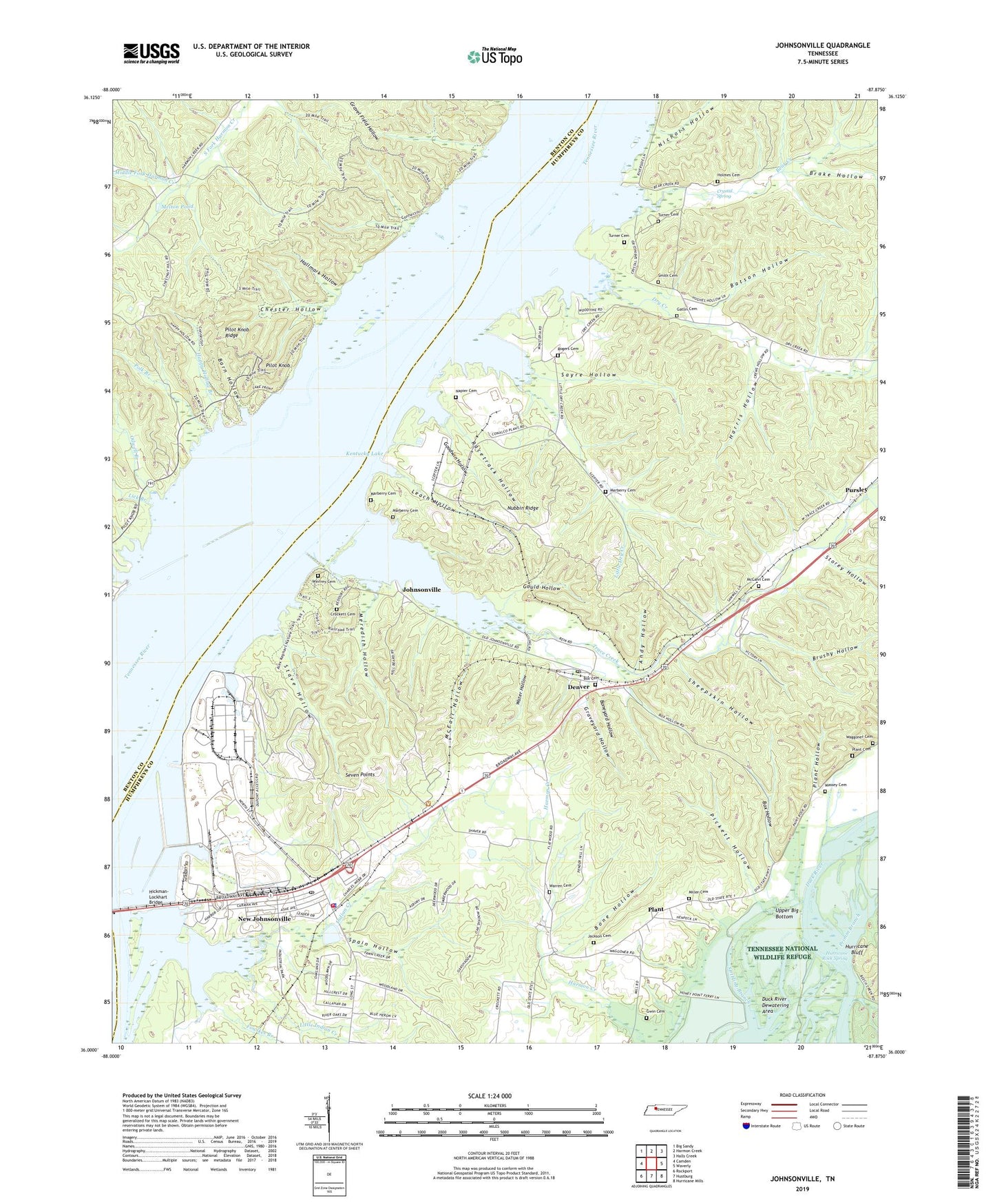
2022 topographic map quadrangle Johnsonville in the state of Tennessee. Scale: 1:24000. Based on the newly updated USGS 7.5' US Topo map series, this map is in the following counties: Humphreys, Benton. The map contains contour data, water features, and other items you are used to seeing on USGS maps, but also has updated roads and other features. This is the next generation of topographic maps. Printed on high-quality waterproof paper with UV fade-resistant inks.
Quads adjacent to this one:
West: Camden
Northwest: Big Sandy
North: Harmon Creek
Northeast: Halls Creek
East: Waverly
Southeast: Hurricane Mills
South: Hustburg
Southwest: Rockport
This map covers the same area as the classic USGS quad with code o36087a8.
Contains the following named places: Anchor Inn Marina, Andy Hollow, Barn Hollow, Batson Hollow, Bear Creek, Beech Creek, Bethel College Camp, Bone Hollow, Boneyard Hollow, Bowen Chapel, Box Cemetery, Box Hollow, Brake Hollow, Brevards Ferry, Brushy Hollow, C L Edwards Memorial Park, Cherry Grove, Cherry Grove School, Chester Hollow, City of New Johnsonville, Clark Lake, Clarks Landing, Commissioner District 4, Crockett Cemetery, Crystal Spring, Cypress Creek, Denver, Denver Dock, Denver Post Office, Dixie Landing, Dry Creek, Dry Creek Cabin Site Area, Dry Creek Church, Dry Creek School, Duck River Landing, Eve Station, Fairview School, Faulks Landing, Flat Woods, Fowlkes Branch, Gatlin Cemetery, Goodwin Hollow, Gould Hollow, Graveyard Hollow, Gwin Cemetery, Hallmark Hollow, Happy Hollow Branch, Harris Hollow, Hartleys Landing, Hickman-Lockhart Bridge, Highway Church, Holmes Cemetery, Hurricane Bluff, Hurricane Rock Spring, Indian Creek, Jackson Cemetery, John Wyleys Landing, Johnsonville, Johnsonville Station, Johnsonville Steam Plant, Lakeside Methodist Camp, Lakeview Elementary School, Leach Hollow, Lick Branch, Link School, Little Dry Creek, Little Indian Creek, Lucas Landing, Marberry Cemetery, Massey Cemetery, McCann Cemetery, McFall Hollow, Melton Pond, Meredith Hollow, Middle Fork Harmon Creek, Miller Cemetery, Napier Cemetery, Nathan Bedford Forrest State Historic Area, Nathan Bedford Forrest State Park, New Hope Church, New Johnsonville, New Johnsonville Fire Department, New Johnsonville Police Department, New Johnsonville Post Office, New Johnsonville State Historic Area, Nichols Hollow, Nubbin Ridge, Oak Grove Church, Oilwell Branch, Pickett Hollow, Pilot Knob, Pilot Knob Ridge, Pisgah Church, Plant, Plant Cemetery, Plant Hollow, Plant Island, Polk Branch, Primm Branch, Pursley, Racetrack Hollow, Reynoldsburg, Reynoldsburg Island, Reynoldsburg Landing, Rogers Cemetery, Sayre Hollow, Seven Points, Sheepskin Hollow, Smith Cemetery, Spain Hollow, Stave Hollow, Storey Hollow, Stribling Branch, Threemile Slough, Trace Creek, Trace Creek Baptist Church, Trace Creek Industrial Site, Turner Cemetery, Waggoner Cemetery, Wagners Landing, Warren Cemetery, Water Hollow, Waverly Landing, Wills Point Landing, Winfrey Cemetery


