MyTopo
Campbells Station Tennessee US Topo Map
Couldn't load pickup availability
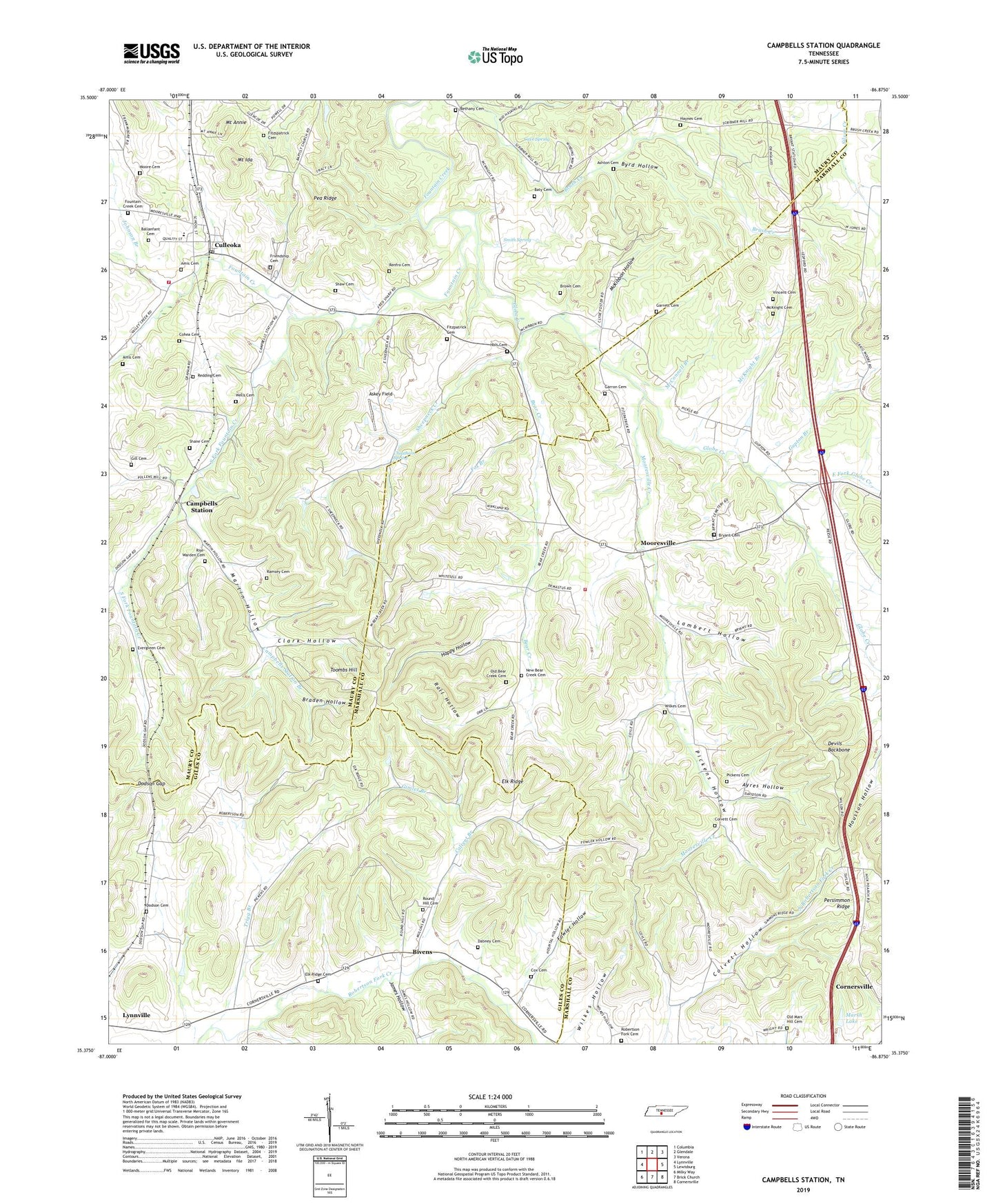
2022 topographic map quadrangle Campbells Station in the state of Tennessee. Scale: 1:24000. Based on the newly updated USGS 7.5' US Topo map series, this map is in the following counties: Marshall, Maury, Giles. The map contains contour data, water features, and other items you are used to seeing on USGS maps, but also has updated roads and other features. This is the next generation of topographic maps. Printed on high-quality waterproof paper with UV fade-resistant inks.
Quads adjacent to this one:
West: Lynnville
Northwest: Columbia
North: Glendale
Northeast: Verona
East: Lewisburg
Southeast: Cornersville
South: Brick Church
Southwest: Milky Way
This map covers the same area as the classic USGS quad with code o35086d8.
Contains the following named places: Amis Cemetery, Ashton Cemetery, Askey Field, Ayres Hollow, Ballanfant Cemetery, Baty Cemetery, Bear Creek, Bear Creek Church, Bethany Cemetery, Bethany Church, Bivens, Braden Hollow, Brown Cemetery, Bryant Cemetery, Byrd Hollow, Calvert Branch, Campbell Station School, Campbells Station, Campbells Station Branch, Cave Spring, Cheatham Spring, Clark Hollow, Coffeys Mill, Cohea Cemetery, Colvett Cemetery, Colvett Hollow, Cox Cemetery, Culleoka, Culleoka Post Office, Culleoka School, Culleoka Volunteer Fire Department, Dabney Cemetery, Devils Backbone, District 6, Dodson Cemetery, Dodson Gap, Dodson Siding, East Fork Globe Creek, Elk Ridge Cemetery, Elk Ridge Presbyterian Church, Elk Valley Church, Evergreen Cemetery, Evergreen Cumberland Presbyterian Church, Fitzpatrick Cemetery, Fitzspatrick Cemetery, Fountain Creek Cemetery, Fountain Creek Church, Fowler Hollow, Fox Branch, Friendship Baptist Church Cemetery, Friendship Church, Garrett Cemetery, Garron Cemetery, Gill Cemetery, Gimlet Branch, Globe Creek, Gupton Branch, Happy Hollow, Haynes Cemetery, Holt Cemetery, James Hollow, Johnson Branch, Lambert Hollow, Lowery Chapel, Mackenzie School, Marsh Lake, Marsh Lake Dam, Martin Hollow, McConnell Branch, McKibbon Hollow, McKnight Branch, McKnight Cemetery, Moore Cemetery, Mooresville, Mooresville Creek, Mooresville Fire Department, Mooresville School, Mount Annie, Mount Ida, New Bear Creek Cemetery, Old Bear Creek Cemetery, Old Mars Hill Cemetery, Pea Ridge, Pickens Cemetery, Pickens Hollow, Piuge Brothers Lake, Piuge Brothers Lake Dam, Pleasant Grove, Rall Hollow, Ramsey Cemetery, Redding Cemetery, Renfro Cemetery, Rise-Warden Cemetery, Robertson Fork Cemetery, Rockdale School, Round Hill, Round Hill African Methodist Episcopal Church, Round Hill Cemetery, Round Hill Missionary Baptist Church, Round Hill School, Shane Cemetery, Shanes Church, Shaw Cemetery, Sheepneck Creek, Smith Spring, Smyrna Church, South Fork Fountain Creek, Toombs Hill, Trade Branch, Trigg Branch, Union Valley School, Vincent Cemetery, Wells Cemetery, Wilkes Cemetery, Wilkes Hollow, ZIP Code: 38451


