MyTopo
Cornersville Tennessee US Topo Map
Couldn't load pickup availability
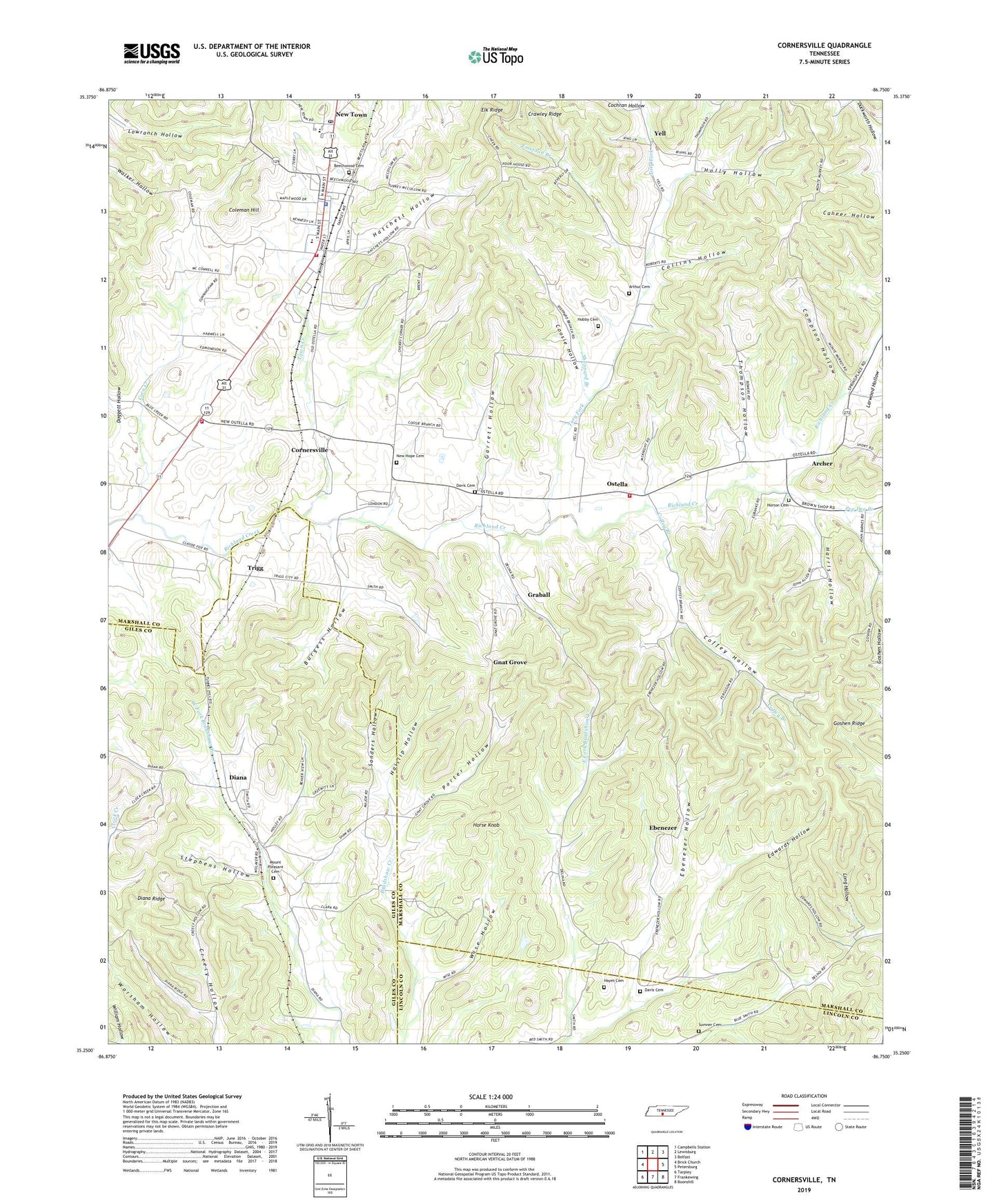
2022 topographic map quadrangle Cornersville in the state of Tennessee. Scale: 1:24000. Based on the newly updated USGS 7.5' US Topo map series, this map is in the following counties: Marshall, Giles, Lincoln. The map contains contour data, water features, and other items you are used to seeing on USGS maps, but also has updated roads and other features. This is the next generation of topographic maps. Printed on high-quality waterproof paper with UV fade-resistant inks.
Quads adjacent to this one:
West: Brick Church
Northwest: Campbells Station
North: Lewisburg
Northeast: Belfast
East: Petersburg
Southeast: Boonshill
South: Frankewing
Southwest: Tarpley
This map covers the same area as the classic USGS quad with code o35086c7.
Contains the following named places: Archer, Arthur Cemetery, Beechwood Cemetery, Burgess Hollow, Cherry Corner, Cochran Hollow, Coffey Branch, Coffey Hollow, Coleman Hill, Collins Hollow, Commissioner District 4, Compton Hollow, Coosie Hollow, Corn Creek, Cornersville, Cornersville Fire Department, Cornersville Police Department, Cornersville Post Office, Cornersville School, Davis Cemetery, Diana, Diana Ridge, Doggett Hollow, Ebenezer, Ebenezer Hollow, Edwards Hollow, Elk Ridge South Division, Emerson Branch, Five Points Volunteer Fire Department, Garrett Hollow, Gnat Grove, Gnat Grove School, Goshen Ridge, Graball, Haislip Hollow, Harris Hollow, Hatchett Hollow, Hayes Cemetery, Hobby Cemetery, Holly Hollow, Horse Knob, Horton Cemetery, Larwood Hollow, Lewis Lake, Lewis Lake Dam, Long Hollow, Marshall County Farm, McKinnon Dam, McKinnon Lake, Mount Pleasant Cemetery, New Hope Cemetery, New Hope Church, New Town, Ostella, Ostella Church of Christ, Pee Dee Branch, Porter Hollow, Richland Church, Sanders Hollow, Sheppard Branch, South Marshall Volunteer Fire Department, Star Lane Farm, Stephens Hollow, Sumner Cemetery, Thompson Hollow, Tory Fork, Town Creek, Town of Cornersville, Trigg, Wise Hollow, Yell, ZIP Code: 37047


