MyTopo
Chestnut Hill Tennessee US Topo Map
Couldn't load pickup availability
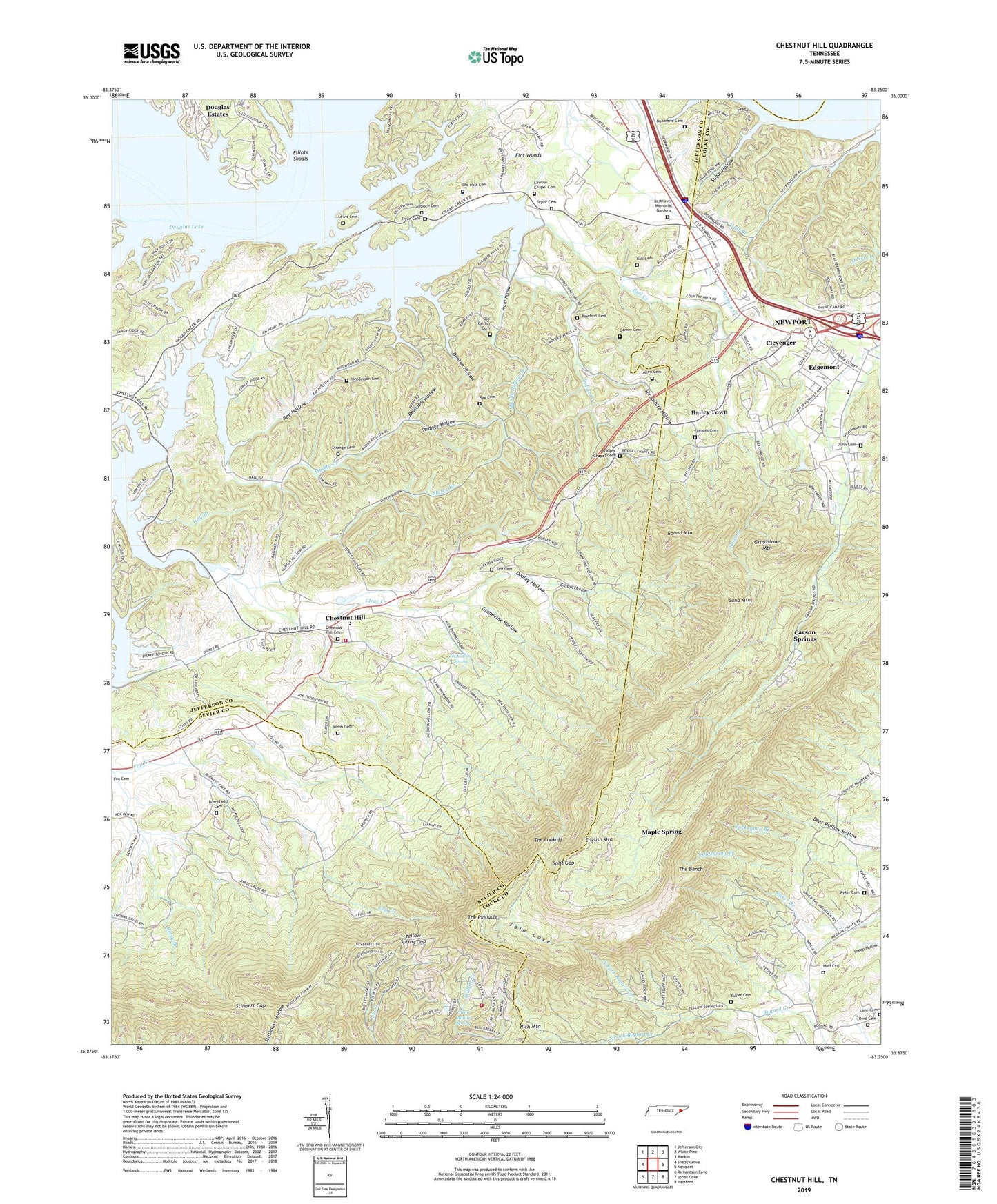
2019 topographic map quadrangle Chestnut Hill in the state of Tennessee. Scale: 1:24000. Based on the newly updated USGS 7.5' US Topo map series, this map is in the following counties: Jefferson, Cocke, Sevier. The map contains contour data, water features, and other items you are used to seeing on USGS maps, but also has updated roads and other features. This is the next generation of topographic maps. Printed on high-quality waterproof paper with UV fade-resistant inks.
Quads adjacent to this one:
West: Shady Grove
Northwest: Jefferson City
North: White Pine
Northeast: Rankin
East: Newport
Southeast: Hartford
South: Jones Cove
Southwest: Richardson Cove
Contains the following named places: Allen Cemetery, Antioch Baptist Church, Antioch Cemetery, Bailey Town, Ball Cemetery, Ball Creek, Bear Branch, Betsy Branch, Bird Crossroad, Bird School, Blowing Cave School, Bogard Chapel, Bridges Chapel, Bridges Chapel Cemetery, Briner Heights School, Burchfield Cemetery, Burchfield Church, Butler Cemetery, Byrd Cemetery, Camp Bell Branch, Carson Springs, Chestnut Hill, Chestnut Hill Cemetery, Chestnut Hill Division, Chestnut Hill Elementary School, Chestnut Hill Volunteer Fire Department, Civilian Conservation Corps Camp Number 1467, Clear Creek, Clevenger, Commissioner District 4, Commissioner District 8, Denton Hollow, Dickey School Church, Dickeys School, Dooley Hollow, Douglas Estates, Dunn Cemetery, Edgemont, Edgemont Church, Edgemont Elementary School, Elliot Ferry, Elliots Shoals, English Mountain, English Mountain Volunteer Fire Department Station 2, Fain Cove, Frances Cemetery, Garner Cemetery, Gibson Hollow, Glenn Alpine Spring, Grapevine Hollow, Gray School, Grindstone Mountain, Gunter Hollow, Hall Branch, Henderson Cemetery, Hills Chapel, Huff Branch, Huff Cemetery, Indian Creek, Indian Creek Church, Indian Creek Dock, Jenkins Chapel, Jones Branch, Kyker Cemetery, Lane Cemetery, Lawson Chapel, Lawson Chapel Cemetery, Lewis Cemetery, Maple Spring, McAndrew Spring, McGaha Chapel, Moore Branch, Muddy Hollow Branch, Nazarene Cemetery, Nazarene Church, North Fork Bogard Creek, Old Griffin Cemetery, Old Holt Cemetery, Open Door Union Church, Promised Land, Pruitt Hollow, Rainwater School, Ray Cemetery, Ray Hollow, Reidtown, Resthaven Memorial Gardens, Reynolds Hollow, Rinehart Cemetery, Round Mountain, Sand Mountain, Shropshire Hollow, Slatey Branch, South Fork Bogard Creek, Split Gap, Still House Hollow, Stinnett Gap, Stokely Chapel, Strange Cemetery, Strange Hollow, Sugar Hollow, Taff Cemetery, Taylor Cemetery, The Bench, The Lookoff, The Pinnacle, Tryon, Tryon Cemetery, Turkeypen Branch, Webb Cemetery, Yellow Spring Gap