MyTopo
Collierville Tennessee US Topo Map
Couldn't load pickup availability
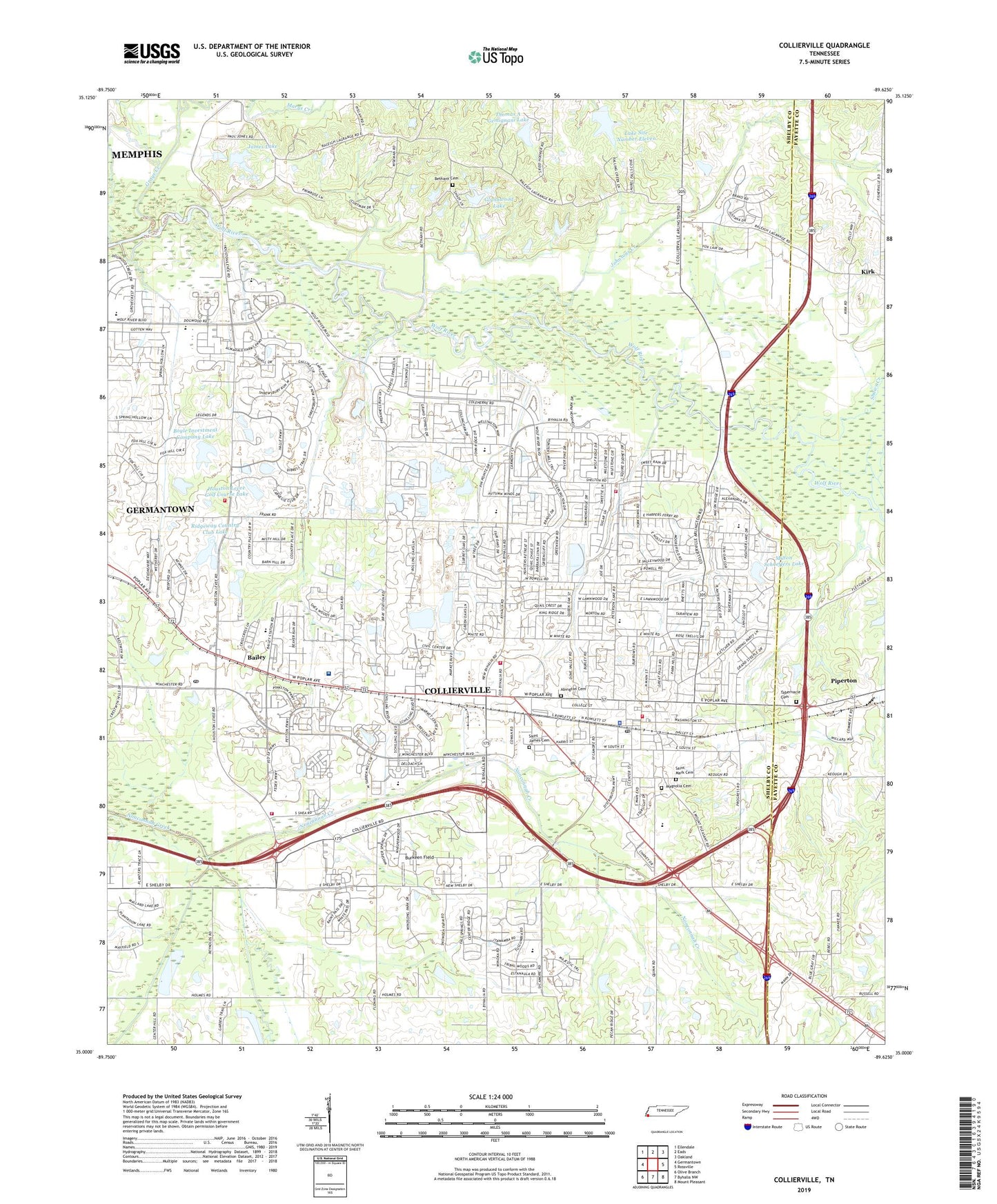
2022 topographic map quadrangle Collierville in the state of Tennessee. Scale: 1:24000. Based on the newly updated USGS 7.5' US Topo map series, this map is in the following counties: Shelby, Fayette. The map contains contour data, water features, and other items you are used to seeing on USGS maps, but also has updated roads and other features. This is the next generation of topographic maps. Printed on high-quality waterproof paper with UV fade-resistant inks.
Quads adjacent to this one:
West: Germantown
Northwest: Ellendale
North: Eads
Northeast: Oakland
East: Rossville
Southeast: Mount Pleasant
South: Byhalia NW
Southwest: Olive Branch
This map covers the same area as the classic USGS quad with code o35089a6.
Contains the following named places: Abington Cemetery, Augusta Rosenwald School, Bailey, Baptist Memorial Hospital Collierville, Bethany Cemetery, Bethany Church, Boyle Investment Company Lake, Boyle Investment Company Lake Dam, Bray, Burkeen Field, Center Point, City Shopping Center, Collierville, Collierville Baptist Church, Collierville Christian Church, Collierville Church of Christ, Collierville Church of God, Collierville Church of God in Christ, Collierville Division, Collierville Elementary School, Collierville Fire and Rescue Station 1, Collierville Fire and Rescue Station 2, Collierville Fire and Rescue Station 3, Collierville Fire and Rescue Station 4, Collierville Fire and Rescue Station 5, Collierville High School, Collierville Middle School, Collierville Northwest Sewage Treatment Plant, Collierville Police Department, Collierville Post Office, Collierville Presbyterian Church, Collierville Sewage Treatment Plant, Collierville Shopping Center, Collierville United Methodist Church, Commissioner District 2, Crosswind Elementary School, Frank Road Landfill, Glynnwood Lake, Glynwood Dam, Grays Creek, Great Oaks Shopping Center, Highgrove Farms, Houston Levee Golf Course Dam, Houston Levee Golf Course Lake, James Lake, James Lake Dam, Johnsons Creek, Kirk, Kirk Baptist Church, Kirk School, Lake Site Number Eleven, Magnolia Cemetery, Marys Creek, Marys Creek Dam Number Eleven, Milton Schaeffers Lake, Milton Schaeffers Lake Dam, Mount Moriah Church, Mount Olive Missionary Baptist Church Number Two, New Wrights Chapel, Piperton Church, Ridgeway Country Club Lake, Ridgeway Country Club Lake Dam, Roseview Shopping Center, Rural / Metro Ambulance Memphis, Saint James Cemetery, Saint James Church, Saint Mark Cemetery, Saint Pauls Church, SaintMark Missionary Baptist Church, Schilling Farms Middle School, Shady Creek Farm, Shaws Creek, Shelby Church, Shelby School, Tabernacle Cemetery, Thomas A Gemignani Lake, Town of Collierville, West Collierville Finance Post Office, WMSO-AM (Collierville), ZIP Code: 38017