MyTopo
Indian Springs Tennessee US Topo Map
Couldn't load pickup availability
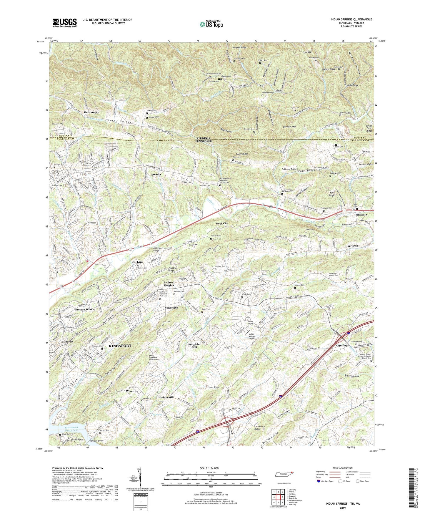
2022 topographic map quadrangle Indian Springs in the states of Tennessee, Virginia. Scale: 1:24000. Based on the newly updated USGS 7.5' US Topo map series, this map is in the following counties: Sullivan, Scott. The map contains contour data, water features, and other items you are used to seeing on USGS maps, but also has updated roads and other features. This is the next generation of topographic maps. Printed on high-quality waterproof paper with UV fade-resistant inks.
Quads adjacent to this one:
West: Kingsport
Northwest: Gate City
North: Hiltons
Northeast: Mendota
East: Blountville
Southeast: Bluff City
South: Boone Dam
Southwest: Sullivan Gardens
Contains the following named places: Adams Chapel, Adams Chapel United Methodist Church, Adams Chapel United Methodist Church Cemetery, Anderson Bridge, Anderson Family Cemetery, Arcadia, Arcadia Church, Arcadia School, Arcadia United Methodist Church Cemetery, Baker Cemetery, Baker Ridge, Bancroft Chapel, Bancroft Tabernacle, Beason Well Church, Beechcliff Estates, Big Spring, Bloomingdale, Bloomingdale Baptist Church, Bloomingdale Church, Boozy Creek, Boyd Hollow, Bradley Cemetery, Brairwood Acres, Bridwell Cemetery, Bridwell Heights, Bright Hollow, Browder Cemetery, Browder Chapel, Browder Hollow, Browder Mountain, Cassidy Church, Cedar Branch, Chase Cemetery, Cherokee Rod and Gun Club, Chestnut Flats Church, Chestnut Ridge, Childress Ferry, Clark Branch, Cold Springs Branch, Cold Springs Church, Cold Springs School, Cole Branch, Cole Hollow, Coleman Ridge, Commissioner District 6, Cook Valley, Cooks Valley Branch, Cutsinger Cemetery, Dungeon Hollow, East Lawn Memorial Park Cemetery, Edgeworth, Emory Church, Emory Methodist Church Cemetery, Fain Cemetery, Faith Bible Church, Fall Creek, Fall Creek Church, Fleenor Cemetery, Fort Patrick Henry Lake, Fox Fire, Gaines Branch, Gaines Cemetery, Gardner Branch, Gardner Cemetery, Gardner Chapel, Gate Ridge, Glenwood School, Godsey Cemetery, Gunnings, Gunnings Academy, Gunnings Baptist Church, Gunnings Cemetery, Gunnings Special Education School, Harbor Chapel School, Harbor School, Harkleroad Hollow, Harr Cemetery, Harrtown, Hemlock, Hemlock Bridge, Hensley Cemetery, Hensley Hollow, Herman Church, Hickam Cemetery, Hicks Branch, Hillcrest, Hobart Meadows, Holiday Hills, Holly Springs Church, Hooper Ridge, Hooven Cemetery, Hooven Hollow, Horn Cemetery, Howard Cemetery, Huddle Mill, Hunt Cemetery, Hunt Ridge, Indian Creek, Indian Hills, Indian Springs, Indian Springs Airport, Indian Springs Baptist Church, Indian Springs Elementary School, Isley Cemetery, Jackson Hollow, Ketron Chapel, Ketron High School, Ketrontown, Kingsley Church, Kingsley Elementary School, Kingsley Hills, Kingsley School, Kingsley United Methodist Church, Lake Park, Lawson, Low Gap, Lower Cave Ridge, Lunsford Cemetery, McMurray Cemetery, Mill Ridge, Mollie Hollow, Moody Bluff, Mountain View Church, Muddy Spring Hollow, Mullins Cemetery, Mullins Hollow, Mullins Ridge, Mystic Valley, New Haven Church, New Hurlin Church, New Hurlin School, Newhouse Hollow, Newland Cemetery, Old Salem Cemetery, Orebank, Orebank Census Designated Place, Orebank School, Peaveler Branch, Pendleton Cemetery, Pettyjohn Mill, Poor Hollow, Preston Woods, Pyles Cemetery, Reedy Creek Church, Rhee Cemetery, Rock City, Rocky Branch, Roller Cemetery, Roller Memorial Chapel, Roust Cemetery, Salem Church, Scenic Woods, Shadylawn School, Shipley Cemetery, Silvacola, Silver Chapel, Sinking Water Branch, Smith Cemetery, Sougan Branch, Sougan Hollow, Spicewood Hollow, Stony Point Church, Sugar Hollow, Sullivan Central High School, Sunnyside, Sunnyside Baptist Church, Sunnyside School, Sunrise Valley, Taylor Cemetery, Thomas Cemetery, Thomas Heights, Timbertree Branch, Union Church, Valley View Church, Venus Branch, Vineyard Cemetery, Weaver Cemetery, WGOC-AM (Kingsport), White Cemetery, WKIN-AM (Kingsport), Woodrow, Woodrow School, WZXY-FM (Kingsport), ZIP Code: 37664


