MyTopo
Pilot Mountain Tennessee US Topo Map
Couldn't load pickup availability
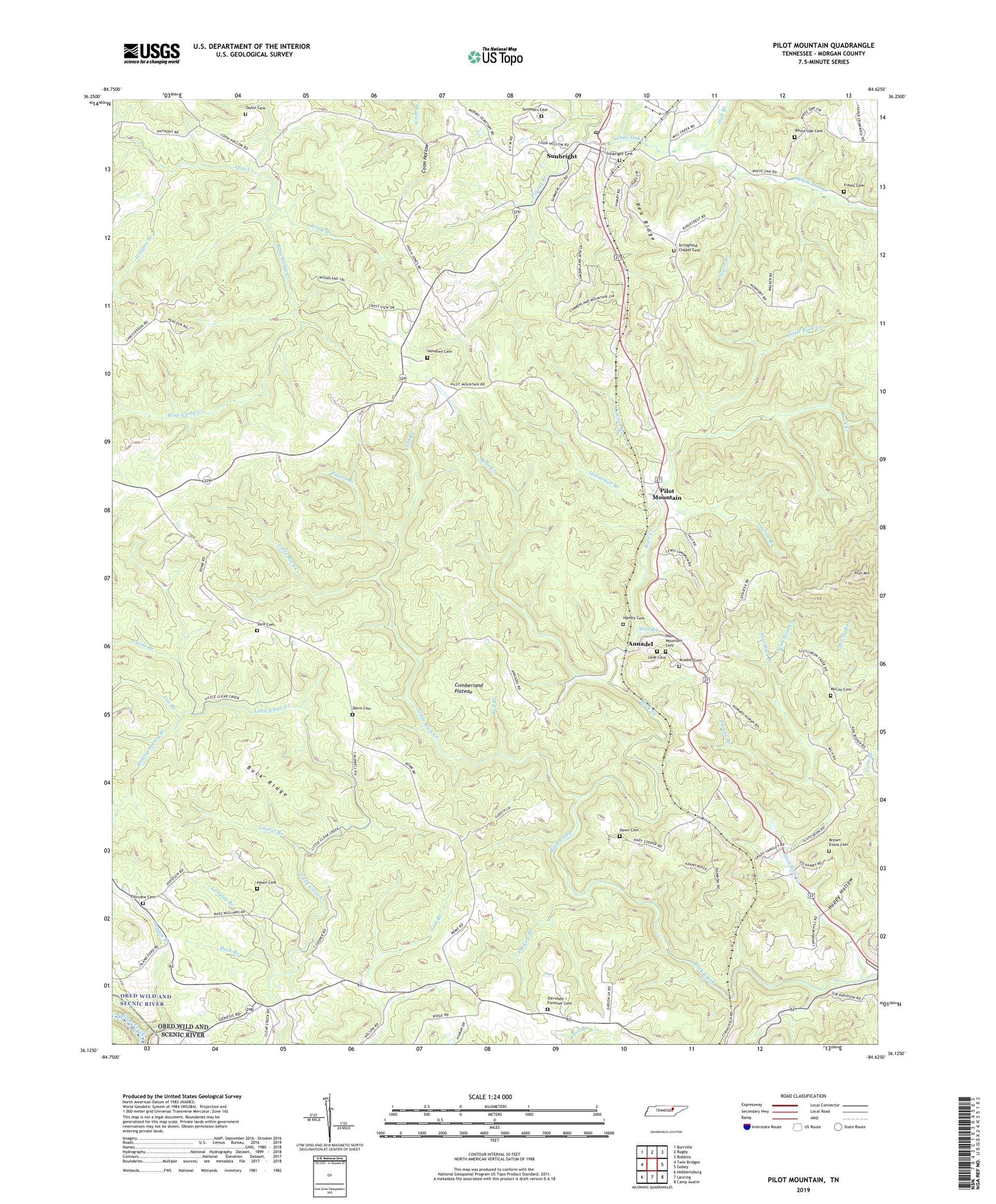
2022 topographic map quadrangle Pilot Mountain in the state of Tennessee. Scale: 1:24000. Based on the newly updated USGS 7.5' US Topo map series, this map is in the following counties: Morgan. The map contains contour data, water features, and other items you are used to seeing on USGS maps, but also has updated roads and other features. This is the next generation of topographic maps. Printed on high-quality waterproof paper with UV fade-resistant inks.
Quads adjacent to this one:
West: Twin Bridges
Northwest: Burrville
North: Rugby
Northeast: Robbins
East: Gobey
Southeast: Camp Austin
South: Lancing
Southwest: Hebbertsburg
This map covers the same area as the classic USGS quad with code o36084b6.
Contains the following named places: Alice Creek, Anadell Cemetery, Annadel, Annadell Baptist Church, Bobs Creek, Boiling Spring Branch, Brown-Evans Cemetery, Buck Branch, Buck Ridge, Bull Branch, Byrd Church, City of Sunbright, Cold Branch, Commissioner District 5, Convict Branch, Coon Hollow Oil Field, Cox Branch, Davidson / Forstner Cemetery, Davis Cemetery, Dawn Cemetery, Douglas Branch East Oil Field, Fairview Cemetery, Fairview Church, Flat Rock Branch, Freels Cemetery, Garrett Branch, Gordon Branch, Hall Branch, Hamby Cemetery, Happy Hollow, Hatmaker Branch, Hawn Cemetery, Haypen Branch, Hendren Cemetery, Islandford, Jack Cemetery, Jerry Branch, Lancing Division, Lane Cemetery, Langley Branch, Laurel Branch, Little Clear Creek Oil Field, Little Rock Creek, Lyons Branch, McCoy Branch, McCoy Cemetery, Morgan County, Mount Zion Church, Mud Branch, Negro Branch, Oak Grove Church, Pea Ridge, Phoebe Branch, Pigeon Branch, Pilot Mountain, Pilot Mountain Baptist Church, Pilot Mountain Cemetery, Pilot Mountain Oil Field, Puckett Branch, Scutcheon Creek, Stringfield Chapel, Stringfield Chapel Cemetery, Summers Cemetery, Summers Park, Sunbright, Sunbright Cemetery, Sunbright First Baptist Church, Sunbright High School, Sunbright Oil Field, Sunbright Post Office, Taylor Cemetery, White Oak Cemetery, Whiteoak Chapel, Whiteoak Church, ZIP Code: 37770


