MyTopo
Robbins Tennessee US Topo Map
Couldn't load pickup availability
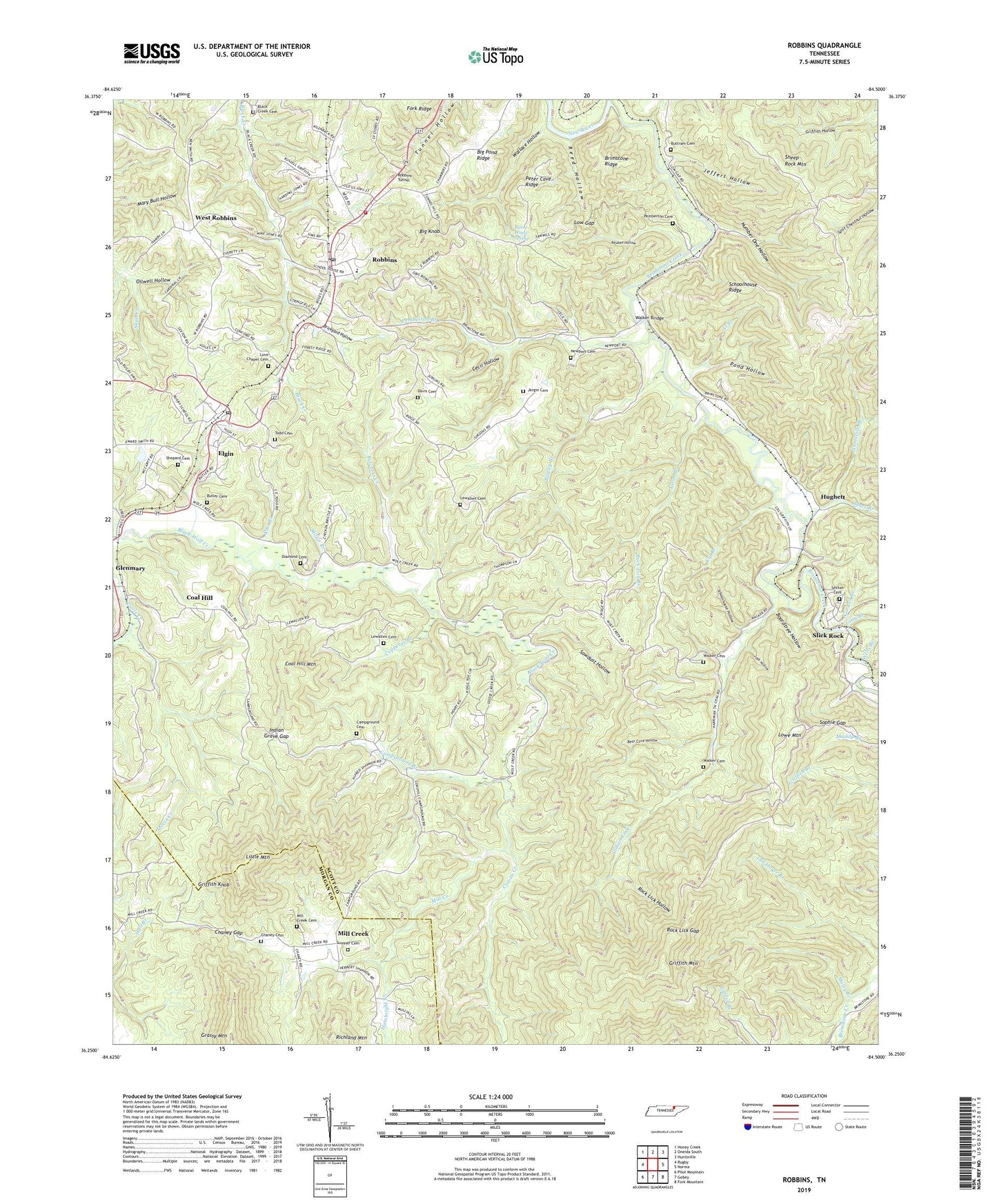
2022 topographic map quadrangle Robbins in the state of Tennessee. Scale: 1:24000. Based on the newly updated USGS 7.5' US Topo map series, this map is in the following counties: Scott, Morgan. The map contains contour data, water features, and other items you are used to seeing on USGS maps, but also has updated roads and other features. This is the next generation of topographic maps. Printed on high-quality waterproof paper with UV fade-resistant inks.
Quads adjacent to this one:
West: Rugby
Northwest: Honey Creek
North: Oneida South
Northeast: Huntsville
East: Norma
Southeast: Fork Mountain
South: Gobey
Southwest: Pilot Mountain
This map covers the same area as the classic USGS quad with code o36084c5.
Contains the following named places: Aaron Branch, Al Branch, Bagley Branch, Bear Cove Hollow, Big Knob, Big Pond Ridge, Black Creek Cemetery, Boardtree Hollow, Brickyard Hollow, Brimstone Creek, Brimstone Ridge, Buck Lick Branch, Burnt House Spring, Butchers Creek, Butler Cemetery, Buttram Cemetery, Cal Branch, Campground Branch, Campground Cemetery, Campground School, Cecil Hollow, Chaney Cemetery, Chaney Gap, Coal Hill, Coal Hill Mountain, Commissioner District 2, Concord Church, Copperas Branch, Cowan Creek, Davis Cemetery, Diamond Cemetery, Elgin, Elgin Census Designated Place, Elgin Post Office, Glenmary, Gordon Branch, Grassy Mountain, Griffith Hollow, Griffith Knob, Hambright Branch, Hughett, Huntsville Branch, Indian Fork, Indian Grave Gap, Jeffers Hollow, Jergin Cemetery, Josh Hollow, Lewallen Cemetery, Little Mountain, Long Branch, Love Chapel, Love Chapel Cemetery, Low Gap, Lowe Mountain, Macs Branch, McCoy Big Mary Mine, Mill Creek, Mill Creek Cemetery, Mill Creek Church, Miller Branch, Mount Pleasant School, Mount Zion Church, Muley Branch, Newport Cemetery, Number One Hollow, Pats Branch, Pemberton Branch, Pemberton Cemetery, Pemberton Siding, Peter Cave Ridge, Pond Hollow, Poplar Creek Mine, Rainbow Mines, Reed Hollow, Reuben Hollow, Robbins, Robbins Census Designated Place, Robbins Division, Robbins Elementary School, Robbins Post Office, Robbins Tunnel, Rock Lick Gap, Rock Lick Hollow, Rugby Road School, Rugby Road Station, Sawdust Hollow, Schoolhouse Hollow, Schoolhouse Ridge, Sexton Cemetery, Sheep Rock Mountain, Shepard Cemetery, Slick Rock, Slick Rock Baptist Church, Slick Rock School, Sophie Gap, South Scott County Volunteer Fire Department, Sumner Cemetery, Todd Cemetery, Walker Bridge, Walker Cemetery, Wallace Hollow, Webb Creek, Wells Branch, West Robbins, West Robbins Baptist Church, West Robbins School, Wolf Creek Church, ZIP Codes: 37732, 37852


